Resultados de la búsqueda

Mapa

Elegir mapa: | | Descargar Centroids / Boundaries / Mapa (pdf)
Los materiales presentados en este sitio web, particularmente los mapas y la información territorial, se proporcionan tal cual y según están disponibles a partir de los datos de los que se dispone y no implican la expresión de opinión alguna por parte de la Secretaría de la Convención de Ramsar respecto de la condición jurídica de ningún país, territorio, ciudad o zona, ni de sus autoridades, ni respecto de la delimitación de sus límites o fronteras.

Lista

  1. Ramsar logo

    Lagunas de Guanacache, Desaguadero y del Bebedero

    • País: 
      Argentina
    • Fecha de designación: 
      14-12-1999
    • Número del sitio: 
      1012
    • Publicado hace: 
      17 year(s)
    962,370 ha
  2. Ramsar logo

    La Tembladera

    • País: 
      Ecuador
    • Fecha de designación: 
      06-12-2011
    • Número del sitio: 
      1991
    • Publicado hace: 
      12 year(s)
    1,471 ha
  3. Vista panorámica del Humedal Huentelauquén, desde ribera norte

    Las Salinas de Huentelauquén (LSH)

    • País: 
      Chile
    • Fecha de designación: 
      02-02-2015
    • Número del sitio: 
      2237
    • Publicado hace: 
      8 year(s)
    2,772 ha
  4. Humedal Salinas Chica
    Humedal Salinas Chica
    Humedal Pachingo
    Humedal Salinas Chica
    Humedales de Tongoy
    Humedal Salinas Grande
    Humedal Salinas Chica
    Humedal Salinas Chica

    Humedales Costeros de la Bahía Tongoy

    • País: 
      Chile
    • Fecha de designación: 
      21-11-2018
    • Número del sitio: 
      2361
    • Publicado hace: 
      5 year(s)
    259 ha
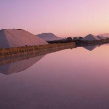
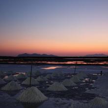
  5. Sunrise at the Salt ponds of Trapani and Paceco (Salina Salinella)
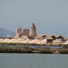
    Sunset (Salina Chiusa),on the left, the old tower of Nubia and the Egadi island on the background
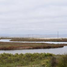
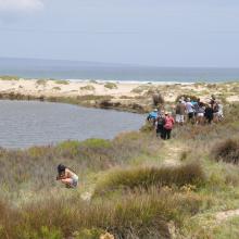
    Marsh and salt ponds  area at the Salt ponds (near Salina Salinella)
    Pile of Salt harvested and left on the leeves of the salt ponds (Salina Calcara)
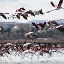
    A flock of Flamingos (Phoenicopterus ruber), an old mill on the background and Favignana Island
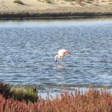
    A flock of Flamingos (Phoenicopterus ruber)
    Cynomorium coccineum on Stagnone di Marsala Islands (Isola Grande)
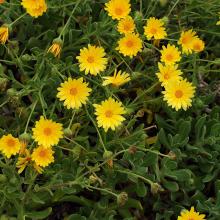
    Calendula incana subsp.  maritima on Stagnone di Marsala Islands (Isola Grande)
    Myriolimon ferulaceum on Stagnone di Marsala Islands (Isola Grande)
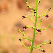
    Scrophularia frutescens on Stagnone di Marsala Islands (Isola Grande)
    Limonium hyblaeum on Stagnone di Marsala Islands (Isola Grande)

    Trapani and Paceco salt ponds

    • País: 
      Italia
    • Fecha de designación: 
      19-10-2017
    • Número del sitio: 
      2329
    • Publicado hace: 
      6 year(s)
    971 ha
  6. La rivière Lufira
    Le lac Tshangalele qui est dans le bassin de la lufira
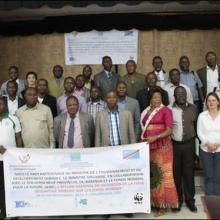
    La photo de l'atelier avec les autorités provinciales
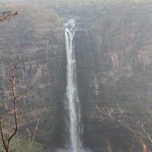
    Chutte de Lofoi

    Bassin de la Lufira

    • País: 
      República Democrática del Congo
    • Fecha de designación: 
      31-10-2017
    • Número del sitio: 
      2318
    • Publicado hace: 
      6 year(s)
    4,470,993 ha
  7. Barrea Lake, on the right Barrea town
    By the shores of Lake Barrea
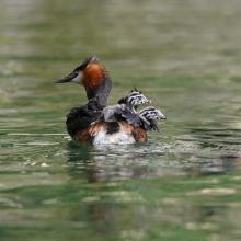
    Svasso Maggiore/Great Crested Grebe
Podiceps cristatus
    Wetland vegetation
    Barrea Lake from the village of Barrea. In the background the village of Civitella Alfedana far centre and Villetta Barrea far right

    Lake Barrea

    • País: 
      Italia
    • Fecha de designación: 
      14-12-1976
    • Número del sitio: 
      131
    • Publicado hace: 
      2 year(s)
    241 ha
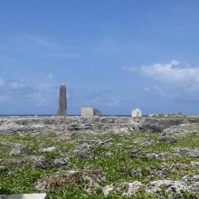
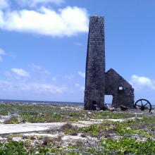
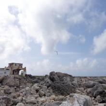
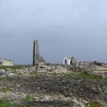
  8. View across Sombrero Island showing Old industrial workings associated with past phosphate mining, - note the date the photo was taken is unknown, not as given
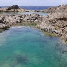
    Pools in craters caused by previous phosphate extraction, Sombrero Island - note the date the photo was taken is unknown, not as given
    Brown Boobys Sula leucogaster on Sombrero Island - note the date the photo was taken is unknown, not as given
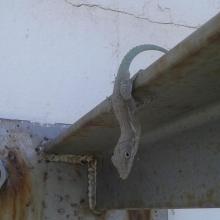
    Probable Anguilla Anole Anolis gingivinus, Sombrero Island.  However DNA samples from Sombrero in the late 1990s showed Anoles on Sombrero to be quite different to those on Anguilla and St Martin: further samples might indicate endemism.
Note the date the photo was taken is unknown, not as given
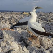
    Masked Booby Sula dactylatra on Sombrero Island - note the date the photo was taken is unknown, not as given
    Pair of Masked Boobys Sula dactylatra chick on Sombrero Island - note the date the photo was taken is unknown, not as given
    Endemic Sombrero Island Ground Lizard Ameiva corvina, Sombrero Island - note the date the photo was taken is unknown, not as given
    Endemic Sombrero Island Ground Lizard Ameiva corvina, Sombrero Island - note the date the photo was taken is unknown, not as given
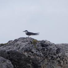
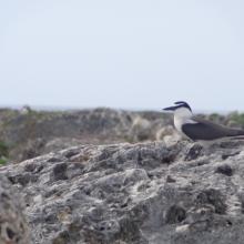
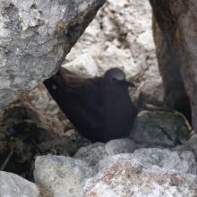
    Bridled Tern Sterna anaethetus,  Sombrero Island - note the date the photo was taken is unknown, not as given
    Masked Booby Sula dactylatra chick on Sombrero Island - note the date the photo was taken is unknown, not as given
    View across Sombrero Island showing old industrial workings associated with past phosphate mining, - note the date the photo was taken is unknown, not as given
    Brown Noddy Anous stolidus on Sombrero Island - note the date the photo was taken is unknown, not as given
    Bridled Tern Sterna anaethetus,  Sombrero Island - note the date the photo was taken is unknown, not as given
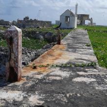
    View across Sombrero Island showing vegetation on old industrial workings associated with past phosphate mining, - note the date the photo was taken is unknown, not as given
    View across Sombrero Island showing vegetation on old industrial workings associated with past phosphate mining, - note the date the photo was taken is unknown, not as given
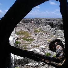
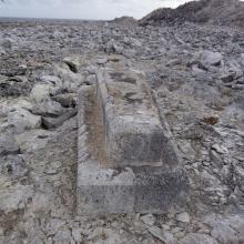
    Old industrial equipment associated with past phosphate mining, note the date the photo was taken is unknown, not as given
    View across Sombrero Island showing vegetation on old industrial workings associated with past phosphate mining, - note the date the photo was taken is unknown, not as given
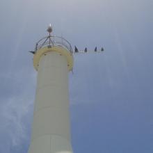
    Seabirds on telecommunications mast, Sombrero Island - note the date the photo was taken is unknown, not as given
    Sombrero Island - note the date the photo was taken is unknown, not as given
    Old industrial workings associated with past phosphate mining, Sombrero Island - note the date the photo was taken is unknown, not as given
    Brown Booby Sula leucogaster on Sombrero Island - note the date the photo was taken is unknown, not as given
    View across old phosphate mining areas, Sombrero Island - note the date the photo was taken is unknown, not as given
    Nest site of Brown Noddy Anous stolidus in shelter of rocks, Sombrero Island - note the date the photo was taken is unknown, not as given

    Sombrero Island Nature Reserve Marine Park

    • País: 
      Reino Unido de Gran Bretaña e Irlanda del Norte (Overseas territories)
    • Fecha de designación: 
      22-05-2018
    • Número del sitio: 
      2354
    • Publicado hace: 
      5 year(s)
    1,051 ha
  9. x
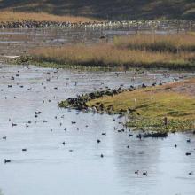
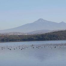
    Congregación de aves acuáticas en la Presa Valsequillo, Puebla, Octubre 2011.

    Presa Manuel Ávila Camacho

    • País: 
      México
    • Fecha de designación: 
      02-02-2012
    • Número del sitio: 
      2027
    • Publicado hace: 
      12 year(s)
    23,612 ha
  10. Ramsar logo

    Tomales Bay

    • País: 
      Estados Unidos de América
    • Fecha de designación: 
      21-10-2002
    • Número del sitio: 
      1215
    • Publicado hace: 
      21 year(s)
    2,850 ha

Páginas

Stats


Exportaciónes

Exportar información sobre sitios

Para obtener una lista resumida en formato pdf de todos los sitios Ramsar, por favor hacer clic aqui.

Generar informes de sitios seleccionados

Se puede generar un informe según los filtros que se hayan aplicado, ya sea en formato pdf o xls. El informe ordena los resultados por nombre de sitio, a menos que se hayan clasificado por otra variable.

Para los archivos en formato pdf, se puede elegir si se desea incluir el texto de introducción sobre cada sitio, o si simplemente se desea mostrar los datos principales en un informe más corto.

Para recibir la lista de Sitios Ramsar que ha seleccionado en un archivo de Microsoft Excel, por favor proporcione su dirección de correo electrónico e introduzca en el recuadro el texto que ve en la imagen de verificación.

Tan pronto como la lista sea generada, recibirá un correo electrónico con el vínculo para acceder al archivo. Este proceso no debe tardar más de 10 minutos.