Search results

Map

Choose map: | | Download Centroids / Boundaries / Map (pdf)
Materials presented on this website, particularly maps and territorial information, are as-is and as-available based on available data and do not imply the expression of any opinion whatsoever on the part of the Secretariat of the Ramsar Convention concerning the legal status of any country, territory, city or area, or of its authorities, or concerning the delimitation of its frontiers or boundaries.

List

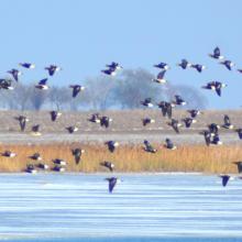
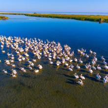
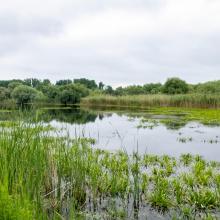
  1. Birds in the estuaries
    Birds in the estuaries
    Burnas
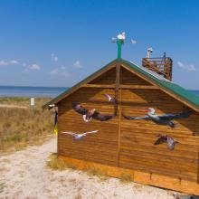
    Eco-educational center
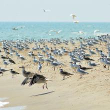
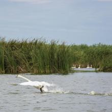
    Birds in the estuaries
    Birds in the estuaries
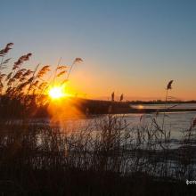
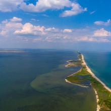
    Tuzly Limans. Autumn
    Birds in the estuaries
    A sand spit of Tuzlivski Limans

    Shagany-Alibei-Burnas Lakes System

    • Country: 
      Ukraine
    • Designation date: 
      28-02-1997
    • Site number: 
      763
    • Published since: 
      1 year(s)
    27,600 ha
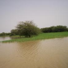
  2. Forêt inondée à Acacia kirkii (Akagoun – Youwarou)
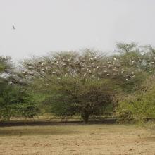
    Bande de Dendrocygnes fauves au bord du lac Débo
    Limicoles
    Une vue du Delta Intérieur du fleuve Niger au Mali
    Akagoun en étiage
    x
    x
    x
    x
    Tombouctou

    Delta Intérieur du Niger

    • Country: 
      Mali
    • Designation date: 
      01-02-2004
    • Site number: 
      1365
    • Published since: 
      20 year(s)
    4,119,500 ha
  3. ICMBio
    ICMBio
    ICMBio
    Helder Lana
    ICMBio

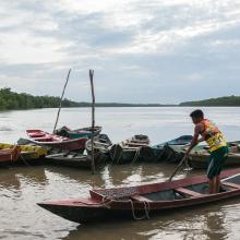
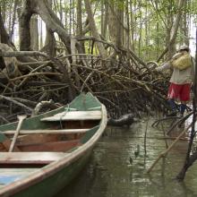
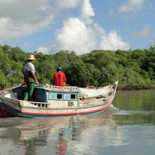
    Amazon Estuary and its Mangroves

    • Country: 
      Brazil
    • Designation date: 
      19-03-2018
    • Site number: 
      2337
    • Published since: 
      5 year(s)
    3,850,253 ha
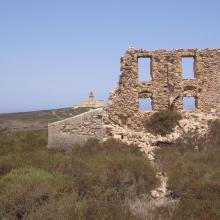
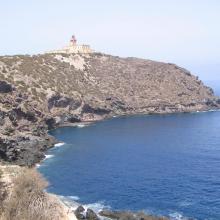
  4. île de Rachgoun
    île de Rachgoun
    île de Rachgoun
    île de Rachgoun
    île de Rachgoun
    île de Rachgoun
    île de Rachgoun

    Ile de Rachgoun

    • Country: 
      Algeria
    • Designation date: 
      05-06-2011
    • Site number: 
      1961
    • Published since: 
      6 year(s)
    66 ha
  5. Youhao Wetlands
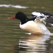
    Mergus squamatus
    Anas platyrhynchos
    Aythya baeri

    Heilongjiang Youhao Wetlands

    • Country: 
      China
    • Designation date: 
      08-01-2018
    • Site number: 
      2353
    • Published since: 
      5 year(s)
    60,687 ha
  6. inséré le 27 juin 2016
    inséré le 27 juin 2016
    inséré le 27 juin 2016
    inséré le 27 juin 2016

    Parc National Akanda

    • Country: 
      Gabon
    • Designation date: 
      02-02-2007
    • Site number: 
      1652
    • Published since: 
      7 year(s)
    54,000 ha
  7. Mangroves de Tsiribihina
    Mangroves de Tsiribihina
    Zone intertidale ouverte et lieu de ponte de flamants roses
    Le fleuve Tsiribihina
    Les plaines alluviales au bord du fleuve Tsiribihina
    Mangrove mixte à Avicennia marina et Rhizophora mucronata
    Exploitation de Typha angustifolia par les communautés locales
    Peuplement de flamants roses à Ankiamena
    Zones de ponte de flamants roses à Ankiamena
    Anas hottentota
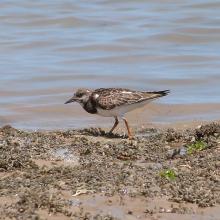
    Arenaria interpres
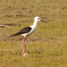
    Himantopus himantopus
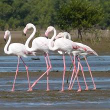
    Phoenicopterus ruber
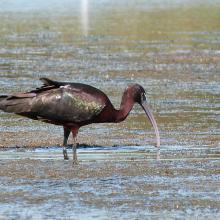
    Plegadis falcinellus

    Mangroves de Tsiribihina

    • Country: 
      Madagascar
    • Designation date: 
      22-05-2017
    • Site number: 
      2302
    • Published since: 
      6 year(s)
    47,218 ha
  8. Kugurlui Lake
    Larus ridibundus on the nest
    Lake Kugurlui in the point of its connection with Lake Kartal
    Lake Kugurlui in the point of its connection with Lake Kartal
    Ardeola ralloides
    Cygnus olor

    Kugurlui Lake

    • Country: 
      Ukraine
    • Designation date: 
      28-02-1997
    • Site number: 
      760
    • Published since: 
      1 year(s)
    13,493 ha
  9. Ballena de aleta
    Diferentes especies de patos
    Estero del Rincón
    Estero Guadalupe
    Estero La Mona
    Estero Las Ánimas
    Estero Punta Arena
    Estero San Rafael
    Gallito marino (Sterna maxima)
    Isla Gemilito
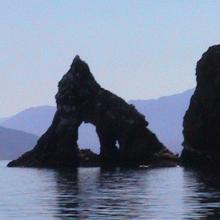
    Isla La Ventana
    Lobo marino californiano (Zalophus californianus)
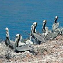
    Pelicano café (Pelecanus occidentalis)
    Playa El Venado
    Playa La Única
    Playa San Francisquito
    Punta La Gringa
    Punta María
    Punta Remedios
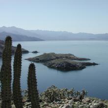
    Tiburón ballena (Rhincodon typus)
    Vista aérea del Estero del Cardón
    Vista aérea del Estero El Quemado
    Vista aérea del Estero Guadalupe
    Vista aérea del Estero Las Ánimas

    Corredor Costero La Asamblea-San Francisquito

    • Country: 
      Mexico
    • Designation date: 
      27-11-2005
    • Site number: 
      1595
    • Published since: 
      18 year(s)
    44,304 ha
  10. Photo 1 : Vue du barrage de la Kompienga
    Photo 2 : Plan d'eau du barrage de la Kompienga
    Photo 3 : Installation pour la production de l'hydro-électricité
    Photo 4 : Equipement de production de l'hydroélectricité

    Barrage de la Kompienga

    • Country: 
      Burkina Faso
    • Designation date: 
      07-10-2009
    • Site number: 
      1875
    • Published since: 
      6 year(s)
    17,545 ha

Pages

Stats


Exports

Export Sites information

For a summary list of all the Ramsar Sites in pdf format, click here.

Generate reports of selected Sites

You can generate a report based on the filters you have applied, in either pdf or xls format. The report will sort the results by the Site name, unless you have sorted them by another variable.

For the pdfs, you can choose whether to include the introductory text on each Site, or just show the key data in a shorter report.

To receive a report, please provide your email address and enter the text in the verification picture into the textbox.

As soon as the list has been generated an e-mail will be sent to you with the link to access the file.