Search results
Search found 13 Ramsar Sites covering 6,119,321 ha
- (-) Remove Ramsar criteria: 7 filter Ramsar criteria: 7
- (-) Remove Picture available?: Yes filter Picture available?: Yes
- (-) Remove Sites on Montreux record?: No filter Sites on Montreux record?: No
- (-) Remove Threats: Biological resource use filter Threats: Biological resource use
- (-) Remove Transboundary Site: No filter Transboundary Site: No
- (-) Remove Threats: Hunting and collecting terrestrial animals filter Threats: Hunting and collecting terrestrial animals
- (-) Remove Wetland type: Human-made wetlands filter Wetland type: Human-made wetlands
- (-) Remove Ecosystem services: Cultural Services filter Ecosystem services: Cultural Services
- (-) Remove Wetland type: 6: Water storage areas/Reservoirs filter Wetland type: 6: Water storage areas/Reservoirs
Map
Materials presented on this website, particularly maps and territorial information, are as-is and as-available based on available data and do not imply the expression of any opinion whatsoever on the part of the Secretariat of the Ramsar Convention concerning the legal status of any country, territory, city or area, or of its authorities, or concerning the delimitation of its frontiers or boundaries.
List
-
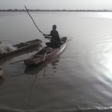


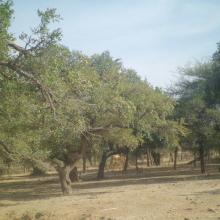

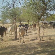

Lac Higa
-
Country:Burkina Faso
-
Designation date:10-07-2009
-
Site number:1883
-
Published since:6 year(s)
1,514 ha -
-
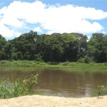
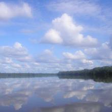


Sangha-Nouabalé-Ndoki
-
Country:Congo
-
Designation date:04-03-2009
-
Site number:1858
-
Published since:15 year(s)
1,525,000 ha -
-



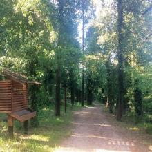

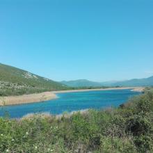

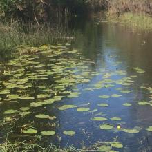

Hutovo Blato
-
Country:Bosnia and Herzegovina
-
Designation date:24-09-2001
-
Site number:1105
-
Published since:4 year(s)
7,824 ha -
-


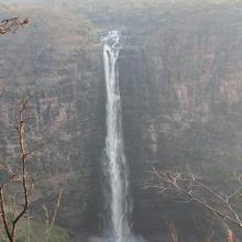
Bassin de la Lufira
-
Country:Democratic Republic of the Congo
-
Designation date:31-10-2017
-
Site number:2318
-
Published since:6 year(s)
4,470,993 ha -
-
Barrage de la Kompienga
-
Country:Burkina Faso
-
Designation date:07-10-2009
-
Site number:1875
-
Published since:6 year(s)
17,545 ha -
-

Barrage de la Tapoa
-
Country:Burkina Faso
-
Designation date:10-07-2009
-
Site number:1876
-
Published since:6 year(s)
3,479 ha -
-
Kis-Balaton
-
Country:Hungary
-
Designation date:11-04-1979
-
Site number:185
-
Published since:7 year(s)
14,659 ha -
-
Réserve Intégrale du Lac Tonga
-
Country:Algeria
-
Designation date:11-04-1983
-
Site number:281
-
Published since:6 year(s)
2,700 ha -
-



Hatta Mountain Reserve
-
Country:United Arab Emirates
-
Designation date:09-01-2019
-
Site number:2368
-
Published since:5 year(s)
2,100 ha -
-
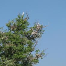
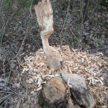
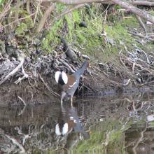
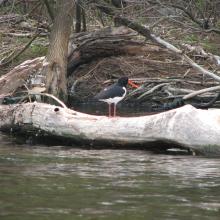

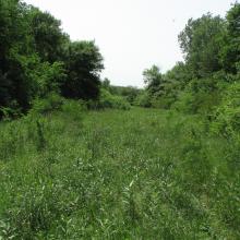
Dnipro-Oril Floodplains
-
Country:Ukraine
-
Designation date:17-11-2003
-
Site number:1399
-
Published since:2 year(s)
2,560 ha -

