Search results
Search found 36 Ramsar Sites covering 1,998,789 ha
- (-) Remove Designation date: 1992 filter Designation date: 1992
- (-) Remove Threats: Climate change & severe weather filter Threats: Climate change & severe weather
- (-) Remove Management plan available: Yes filter Management plan available: Yes
- (-) Remove Statutory designation taxonomy: World Heritage site filter Statutory designation taxonomy: World Heritage site
- (-) Remove Wetland type: Human-made wetlands filter Wetland type: Human-made wetlands
- (-) Remove Ecosystem services: Supporting Services filter Ecosystem services: Supporting Services
- (-) Remove Designation date: August 1992 filter Designation date: August 1992
- (-) Remove Wetland type: 9: Canals and drainage channels or ditches filter Wetland type: 9: Canals and drainage channels or ditches
Map
Materials presented on this website, particularly maps and territorial information, are as-is and as-available based on available data and do not imply the expression of any opinion whatsoever on the part of the Secretariat of the Ramsar Convention concerning the legal status of any country, territory, city or area, or of its authorities, or concerning the delimitation of its frontiers or boundaries.
List
-
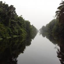
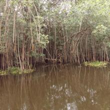

Parc National d’Azagny
-
Country:Côte d'Ivoire
-
Designation date:27-02-1996
-
Site number:790
-
Published since:5 year(s)
19,400 ha -
-

San Francisco Bay/Estuary (SFBE)
-
Country:United States of America
-
Designation date:02-02-2013
-
Site number:2097
-
Published since:11 year(s)
158,711 ha -
-

Marais Vernier et Vallée de la Risle maritime
-
Country:France
-
Designation date:18-12-2015
-
Site number:2247
-
Published since:8 year(s)
9,564 ha -
-
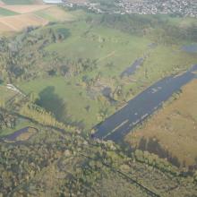

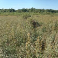


Marais de Sacy
-
Country:France
-
Designation date:09-10-2017
-
Site number:2312
-
Published since:6 year(s)
1,073 ha -
-
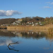
Klingnauer Stausee
-
Country:Switzerland
-
Designation date:09-11-1990
-
Site number:507
-
Published since:5 year(s)
364 ha -
-

The Coorong, Lake Alexandrina & Albert Wetland
-
Country:Australia
-
Designation date:11-01-1985
-
Site number:321
-
Published since:11 year(s)
142,530 ha -
-
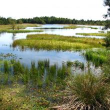
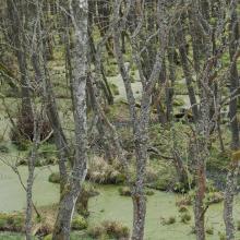

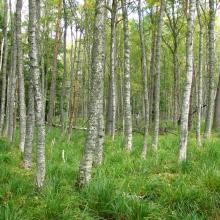

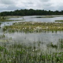
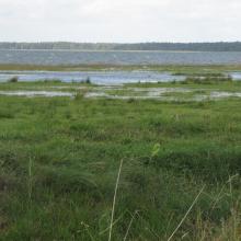
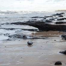

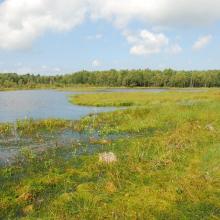
Słowiński National Park
-
Country:Poland
-
Designation date:24-10-1995
-
Site number:757
-
Published since:5 year(s)
32,744 ha -
-
Ölands ostkust
-
Country:Sweden
-
Designation date:05-12-1974
-
Site number:18
-
Published since:5 year(s)
10,718 ha -
-
Le Lac Alaotra : Les Zones Humides et Bassins Versants
-
Country:Madagascar
-
Designation date:09-09-2003
-
Site number:1312
-
Published since:7 year(s)
722,500 ha -
-
Marais Breton, Baie de Bourgneuf, Ile de Noirmoutier et Forêt de Monts
-
Country:France
-
Designation date:02-02-2017
-
Site number:2283
-
Published since:7 year(s)
55,826 ha -
