Search results

Map

Choose map: | | Download Centroids / Boundaries / Map (pdf)
Materials presented on this website, particularly maps and territorial information, are as-is and as-available based on available data and do not imply the expression of any opinion whatsoever on the part of the Secretariat of the Ramsar Convention concerning the legal status of any country, territory, city or area, or of its authorities, or concerning the delimitation of its frontiers or boundaries.

List

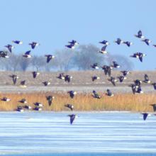
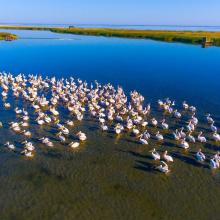
  1. Birds in the estuaries
    Birds in the estuaries
    Burnas
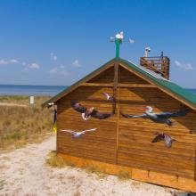
    Eco-educational center
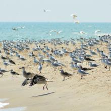
    Birds in the estuaries
    Birds in the estuaries
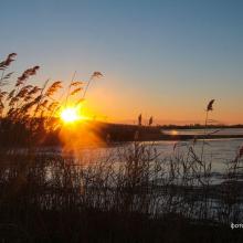
    Tuzly Limans. Autumn
    Birds in the estuaries
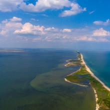
    A sand spit of Tuzlivski Limans

    Shagany-Alibei-Burnas Lakes System

    • Country: 
      Ukraine
    • Designation date: 
      28-02-1997
    • Site number: 
      763
    • Published since: 
      1 year(s)
    27,600 ha
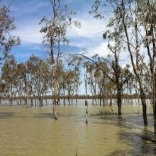
  2. Hattah Lakes

    Hattah-Kulkyne Lakes

    • Country: 
      Australia
    • Designation date: 
      05-04-1983
    • Site number: 
      264
    • Published since: 
      1 year(s)
    955 ha
  3. Vista panorámica del Humedal Huentelauquén, desde ribera norte

    Las Salinas de Huentelauquén (LSH)

    • Country: 
      Chile
    • Designation date: 
      02-02-2015
    • Site number: 
      2237
    • Published since: 
      8 year(s)
    2,772 ha
  4. Ramsar logo

    Coral Sea Reserves

    • Country: 
      Australia
    • Designation date: 
      21-10-2002
    • Site number: 
      1222
    • Published since: 
      10 year(s)
    1,728,920 ha
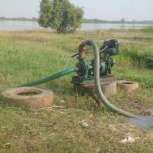
  5. Motopompes utilisées pour l'exode de l'eau
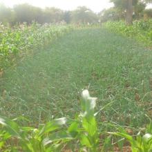
    Utilisation de motopompe dans la culture maraîchère
    Association de culture "maïs et oignon"
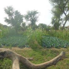
    Planche de choux
    association de culture "Choux et maïs"
    Vue des parcelles de culture
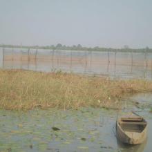
    Vue du Lac Bam
    Des pieds de Acacia albida dans le lit du la Bam
    Parc agroforestier à Acacia albida, une espèce bénéficiant de mesures de protection particulière au Burkina Faso
    Relique de la végétation de la bande de servitude
    Enclos de pisciculture dans le lac
    Bassin de pisciculture

    Lac Bam

    • Country: 
      Burkina Faso
    • Designation date: 
      07-10-2009
    • Site number: 
      1880
    • Published since: 
      7 year(s)
    5,300 ha
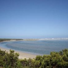
  6. Glenelg River Estuary as viewed from the Beach Road lookout, the opening to the ocean can be seen at far right.
    Coastal dune scrub on the barrier dunes adjacent to Long Swamp and shorebird habitat along the ocean beach.
    Lake Mombeong one of the freshwater lakes of Discovery Bay

    Glenelg Estuary and Discovery Bay Ramsar Site

    • Country: 
      Australia
    • Designation date: 
      28-02-2018
    • Site number: 
      2344
    • Published since: 
      5 year(s)
    22,289 ha
  7. Educational trail
    Karaotok
    Karaotok
    Karaotok
    Karaotok
    Educational trail
    Educational trail
    Lake Škrka
    Lake Svitava
    Nuphar lutea
    Natrix tesselata
    Vipera ammodytes

    Hutovo Blato

    • Country: 
      Bosnia and Herzegovina
    • Designation date: 
      24-09-2001
    • Site number: 
      1105
    • Published since: 
      4 year(s)
    7,824 ha
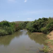
  8. Slow water course of Emån, downstream
    A stream water course of Emån, more upstream
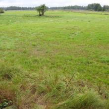
    Ungrazed wetland near Emån
    Grazed wetland near Emån

    Emån

    • Country: 
      Sweden
    • Designation date: 
      14-11-2001
    • Site number: 
      1118
    • Published since: 
      5 year(s)
    1,527 ha
  9. Mare Yanguali dans la plaine d’inondation de la Rivière Pendjari
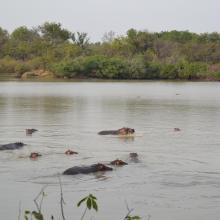
    Mares au Hippo dans la plaine d’inondation de la rivière Pendjari
    Mare Yanguali dans la plaine d’inondation de la Rivière Pendjari

    Zone Humide de la Rivière Pendjari

    • Country: 
      Benin
    • Designation date: 
      02-02-2007
    • Site number: 
      1669
    • Published since: 
      5 year(s)
    483,366 ha
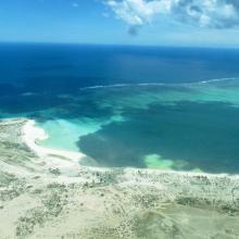
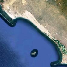
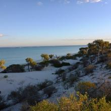
  10. Baie de Beheloka
    parcelle 7 et 8
    plage zone de ponte
    plage zone de ponte
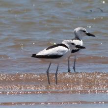
    Dromas adreola
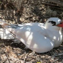
    Phaethon rubricauda
    Phaethon rubricauda
    Sterna bengalensis

    Barrière de Corail Nosy Ve Androka

    • Country: 
      Madagascar
    • Designation date: 
      02-02-2017
    • Site number: 
      2285
    • Published since: 
      7 year(s)
    91,445 ha

Pages

Stats


Exports

Export Sites information

For a summary list of all the Ramsar Sites in pdf format, click here.

Generate reports of selected Sites

You can generate a report based on the filters you have applied, in either pdf or xls format. The report will sort the results by the Site name, unless you have sorted them by another variable.

For the pdfs, you can choose whether to include the introductory text on each Site, or just show the key data in a shorter report.

To receive a report, please provide your email address and enter the text in the verification picture into the textbox.

As soon as the list has been generated an e-mail will be sent to you with the link to access the file.