Search results

Map

Choose map: | | Download Centroids / Boundaries / Map (pdf)
Materials presented on this website, particularly maps and territorial information, are as-is and as-available based on available data and do not imply the expression of any opinion whatsoever on the part of the Secretariat of the Ramsar Convention concerning the legal status of any country, territory, city or area, or of its authorities, or concerning the delimitation of its frontiers or boundaries.

List

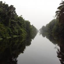
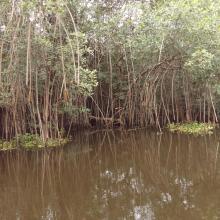
  1. Traversée Parc National d'Azagny
    Mangroves
    Traversée Parc National d'Azagny

    Parc National d’Azagny

    • Country: 
      Côte d'Ivoire
    • Designation date: 
      27-02-1996
    • Site number: 
      790
    • Published since: 
      5 year(s)
    19,400 ha
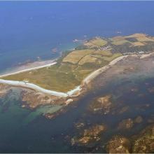
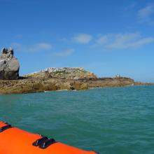
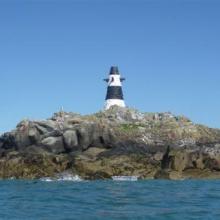
  2. Aerial oblique view of Herm and the Humps
    The Humps, Longue Pierre
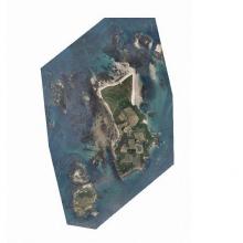
    Herm, Jethou and the Humps
    One of The Humps: Grande Amfroque

    Herm, Jethou and The Humps

    • Country: 
      United Kingdom of Great Britain and Northern Ireland (Crown dependencies)
    • Designation date: 
      19-10-2015
    • Site number: 
      2277
    • Published since: 
      7 year(s)
    1,803 ha
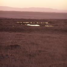
  3. Blanket bog at dusk
    Blanket bog at Sheskin
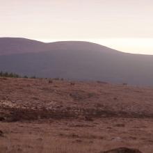
    Blanket bog and Red Deer
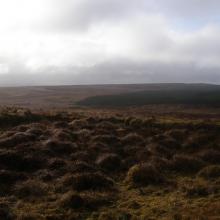
    Blanket bog with forestry in the background

    Knockmoyle/Sheskin

    • Country: 
      Ireland
    • Designation date: 
      01-06-1987
    • Site number: 
      372
    • Published since: 
      1 year(s)
    1,198 ha
  4. Lagos de Tarapoto
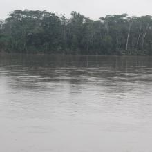
    Río Amazonas en Puerto Nariño
    Armadillos
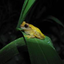
    Rana
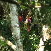
    Guacamayas en Puerto Nariño
    Pescador en Tipisca
    Mercado Puerto Nariño
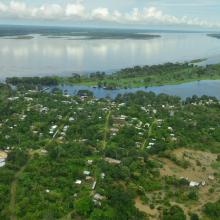
    Puerto Nariño
    San Juan de Atacuari
    Puerto Nariño
    Tarapoto

    Complejo de humedales Lagos de Tarapoto

    • Country: 
      Colombia
    • Designation date: 
      28-09-2017
    • Site number: 
      2336
    • Published since: 
      5 year(s)
    45,464 ha
  5. Río Aguarico comuna Kichwa Zancudococha
    Atardecer en Tiputini
    Río Aguaríco (Reserva de Producción de Fauna Cuyabeno)
    Río Aguarico
    Laguna Jatuncocha, Parque Nacional Yasuní
    Laguna de Jatuncocha
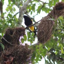
    Oropendola en tambococha, Parque Nacional Yasuní
    Mono Ardilla en el PN Yasuní

    Complejo de Humedales Cuyabeno Lagartococha Yasuní

    • Country: 
      Ecuador
    • Designation date: 
      24-08-2017
    • Site number: 
      2332
    • Published since: 
      5 year(s)
    773,668 ha
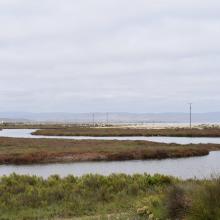
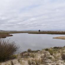
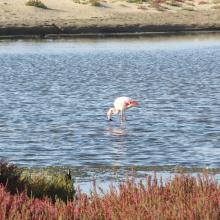
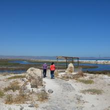
  6. Humedal Salinas Chica
    Humedal Salinas Chica
    Humedal Pachingo
    Humedal Salinas Chica
    Humedales de Tongoy
    Humedal Salinas Grande
    Humedal Salinas Chica
    Humedal Salinas Chica

    Humedales Costeros de la Bahía Tongoy

    • Country: 
      Chile
    • Designation date: 
      21-11-2018
    • Site number: 
      2361
    • Published since: 
      5 year(s)
    259 ha
  7. Corio Bay
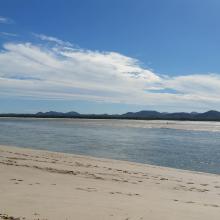
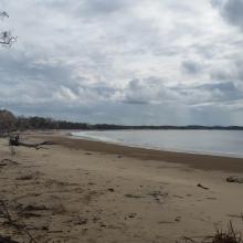
    Shoalwater

    Shoalwater and Corio Bays Area

    • Country: 
      Australia
    • Designation date: 
      01-03-1996
    • Site number: 
      792
    • Published since: 
      5 year(s)
    202,023 ha
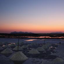
  8. Sunrise at the Salt ponds of Trapani and Paceco (Salina Salinella)
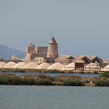
    Sunset (Salina Chiusa),on the left, the old tower of Nubia and the Egadi island on the background
    Marsh and salt ponds  area at the Salt ponds (near Salina Salinella)
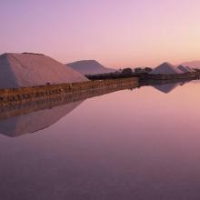
    Pile of Salt harvested and left on the leeves of the salt ponds (Salina Calcara)
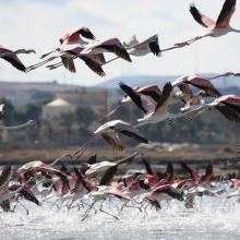
    A flock of Flamingos (Phoenicopterus ruber), an old mill on the background and Favignana Island
    A flock of Flamingos (Phoenicopterus ruber)
    Cynomorium coccineum on Stagnone di Marsala Islands (Isola Grande)
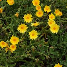
    Calendula incana subsp.  maritima on Stagnone di Marsala Islands (Isola Grande)
    Myriolimon ferulaceum on Stagnone di Marsala Islands (Isola Grande)
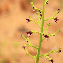
    Scrophularia frutescens on Stagnone di Marsala Islands (Isola Grande)
    Limonium hyblaeum on Stagnone di Marsala Islands (Isola Grande)

    Trapani and Paceco salt ponds

    • Country: 
      Italy
    • Designation date: 
      19-10-2017
    • Site number: 
      2329
    • Published since: 
      6 year(s)
    971 ha
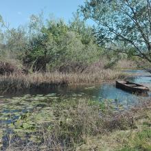
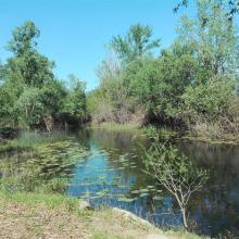
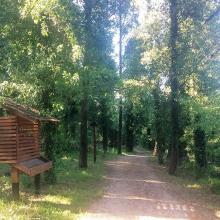
  9. Educational trail
    Karaotok
    Karaotok
    Karaotok
    Karaotok
    Educational trail
    Educational trail
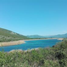
    Lake Škrka
    Lake Svitava
    Nuphar lutea
    Natrix tesselata
    Vipera ammodytes

    Hutovo Blato

    • Country: 
      Bosnia and Herzegovina
    • Designation date: 
      24-09-2001
    • Site number: 
      1105
    • Published since: 
      4 year(s)
    7,824 ha
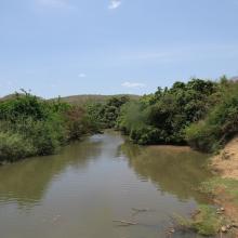
  10. Mare Yanguali dans la plaine d’inondation de la Rivière Pendjari
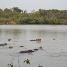
    Mares au Hippo dans la plaine d’inondation de la rivière Pendjari
    Mare Yanguali dans la plaine d’inondation de la Rivière Pendjari

    Zone Humide de la Rivière Pendjari

    • Country: 
      Benin
    • Designation date: 
      02-02-2007
    • Site number: 
      1669
    • Published since: 
      5 year(s)
    483,366 ha

Pages

Stats


Exports

Export Sites information

For a summary list of all the Ramsar Sites in pdf format, click here.

Generate reports of selected Sites

You can generate a report based on the filters you have applied, in either pdf or xls format. The report will sort the results by the Site name, unless you have sorted them by another variable.

For the pdfs, you can choose whether to include the introductory text on each Site, or just show the key data in a shorter report.

To receive a report, please provide your email address and enter the text in the verification picture into the textbox.

As soon as the list has been generated an e-mail will be sent to you with the link to access the file.