Search results

Map

Choose map: | | Download Centroids / Boundaries / Map (pdf)
Materials presented on this website, particularly maps and territorial information, are as-is and as-available based on available data and do not imply the expression of any opinion whatsoever on the part of the Secretariat of the Ramsar Convention concerning the legal status of any country, territory, city or area, or of its authorities, or concerning the delimitation of its frontiers or boundaries.

List

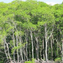
  1. Reentrancias Maranhenses

    Reentrancias Maranhenses

    • Country: 
      Brazil
    • Designation date: 
      30-11-1993
    • Site number: 
      640
    • Published since: 
      2 year(s)
    2,680,911 ha
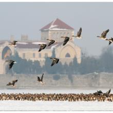
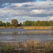
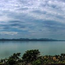
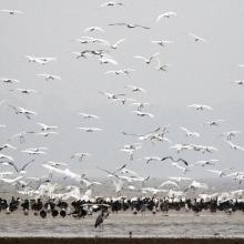
  2. Tens of thousands of geese and thousands of ducks roost on Lake Öreg, in front of the baroque style Castle of Tata during the migration period

    Lakes by Tata

    • Country: 
      Hungary
    • Designation date: 
      17-03-1989
    • Site number: 
      419
    • Published since: 
      7 year(s)
    1,897 ha
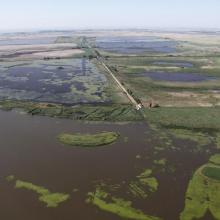
  3. Aerial view of the Hortobágy Fishponds

    Hortobágy

    • Country: 
      Hungary
    • Designation date: 
      11-04-1979
    • Site number: 
      189
    • Published since: 
      7 year(s)
    32,037 ha
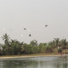
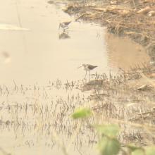
  4. picture of the site
    picture of the site
    picture of the site
    picture of the site

    Keta Lagoon Complex Ramsar Site

    • Country: 
      Ghana
    • Designation date: 
      14-08-1992
    • Site number: 
      567
    • Published since: 
      8 year(s)
    101,023 ha
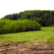
  5. Restored mangrove site
    Eco tourism on site
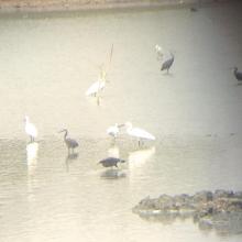
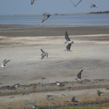
    Birds
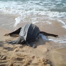
    Leatherback turtle

    Songor Ramsar Site

    • Country: 
      Ghana
    • Designation date: 
      14-08-1992
    • Site number: 
      566
    • Published since: 
      8 year(s)
    51,133 ha
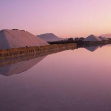
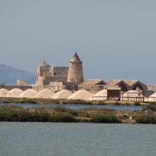
  6. Sunrise at the Salt ponds of Trapani and Paceco (Salina Salinella)
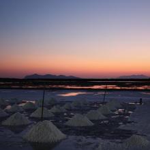
    Sunset (Salina Chiusa),on the left, the old tower of Nubia and the Egadi island on the background
    Marsh and salt ponds  area at the Salt ponds (near Salina Salinella)
    Pile of Salt harvested and left on the leeves of the salt ponds (Salina Calcara)
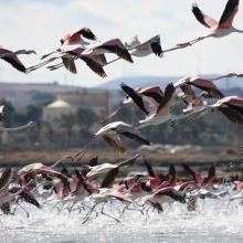
    A flock of Flamingos (Phoenicopterus ruber), an old mill on the background and Favignana Island
    A flock of Flamingos (Phoenicopterus ruber)
    Cynomorium coccineum on Stagnone di Marsala Islands (Isola Grande)
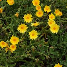
    Calendula incana subsp.  maritima on Stagnone di Marsala Islands (Isola Grande)
    Myriolimon ferulaceum on Stagnone di Marsala Islands (Isola Grande)
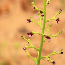
    Scrophularia frutescens on Stagnone di Marsala Islands (Isola Grande)
    Limonium hyblaeum on Stagnone di Marsala Islands (Isola Grande)

    Trapani and Paceco salt ponds

    • Country: 
      Italy
    • Designation date: 
      19-10-2017
    • Site number: 
      2329
    • Published since: 
      6 year(s)
    971 ha
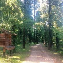
  7. Educational trail
    Karaotok
    Karaotok
    Karaotok
    Karaotok
    Educational trail
    Educational trail
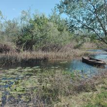
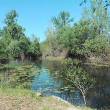
    Lake Škrka
    Lake Svitava
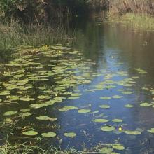
    Nuphar lutea
    Natrix tesselata
    Vipera ammodytes

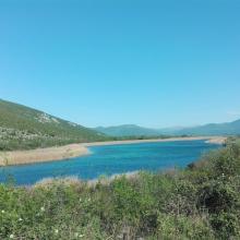
    Hutovo Blato

    • Country: 
      Bosnia and Herzegovina
    • Designation date: 
      24-09-2001
    • Site number: 
      1105
    • Published since: 
      4 year(s)
    7,824 ha
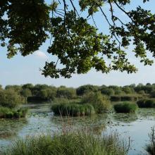
  8. Étang de la Sous dans la réserve naturelle nationale de Chérine
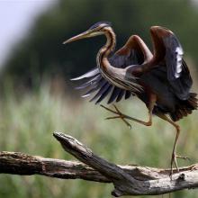
    Héron Pourpré dansant sur la RNN de Chérine
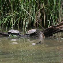
    Cistude d'Europe
    Pâturage bovin en Brenne
    Étang Massé
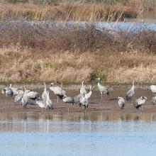
    Dortoir Grues cendrées étang Foucault

    La Brenne

    • Country: 
      France
    • Designation date: 
      05-04-1991
    • Site number: 
      518
    • Published since: 
      4 year(s)
    140,000 ha
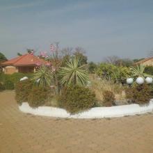
  9. Entrée du centre écotouristique de Bagré
    Vue de la cours du centre écotouristique
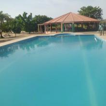
    Vue de la piscine et du hall de réception du centre écotouristique
    Logements du centre écotouristique
    Salle de conférence du centre écotouristique
    Espace de loisir du centre écotouristique
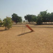
    Aire de jeu pour enfant
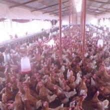
    Vue de la ferme d'élevage de volaille
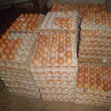
    Environ 2000 poules pondeuses dans la ferme
    Oeufs produits dans la ferme
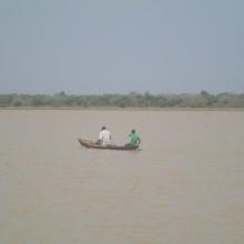
    Retour de pêche, avec près de 40 kg de poisson dans la pirogue
    « le faux capitaine »; une des espèces de poisson présente dans les captures des pêcheurs
    Des pêcheurs sur leur pirogue
    Vue du barrage
    Vue du barrage avec des pirogues de pêcheurs
    Débarcadaire
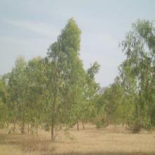
    Plantation d’eucalyptus au bord du barrage
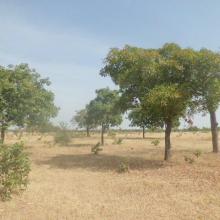
    Parc à karité
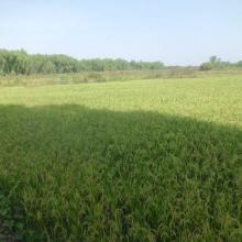
    Périmètre de riziculture
    Riziculture avec un système d'irrigation gravitaire
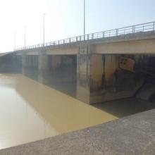
    Vanne pour évacuation du trop plein d'eau du barrage

    Barrage de Bagre

    • Country: 
      Burkina Faso
    • Designation date: 
      07-10-2009
    • Site number: 
      1874
    • Published since: 
      7 year(s)
    36,793 ha
  10. The evening scene of Wanghu
    Fuhe River eocosystem
    Summer scenery of Wanghu
    Habitat of  Wuzhuazui

    Hubei Wang Lake

    • Country: 
      China
    • Designation date: 
      08-01-2018
    • Site number: 
      2349
    • Published since: 
      5 year(s)
    20,495 ha

Pages

Stats


Exports

Export Sites information

For a summary list of all the Ramsar Sites in pdf format, click here.

Generate reports of selected Sites

You can generate a report based on the filters you have applied, in either pdf or xls format. The report will sort the results by the Site name, unless you have sorted them by another variable.

For the pdfs, you can choose whether to include the introductory text on each Site, or just show the key data in a shorter report.

To receive a report, please provide your email address and enter the text in the verification picture into the textbox.

As soon as the list has been generated an e-mail will be sent to you with the link to access the file.