Search results
Search found 48 Ramsar Sites covering 28,351,409 ha
- (-) Remove Region/country: Africa filter Region/country: Africa
- (-) Remove Ramsar criteria: 6 filter Ramsar criteria: 6
- (-) Remove Ecosystem services: Regulating Services filter Ecosystem services: Regulating Services
- (-) Remove Ramsar criteria: 8 filter Ramsar criteria: 8
Map
Materials presented on this website, particularly maps and territorial information, are as-is and as-available based on available data and do not imply the expression of any opinion whatsoever on the part of the Secretariat of the Ramsar Convention concerning the legal status of any country, territory, city or area, or of its authorities, or concerning the delimitation of its frontiers or boundaries.
List
-

Zambezi Floodplains
-
Country:Zambia
-
Designation date:02-02-2007
-
Site number:1662
-
Published since:17 year(s)
900,000 ha -
-

Estuaire du Rio Del Rey
-
Country:Cameroon
-
Designation date:20-05-2010
-
Site number:1908
-
Published since:13 year(s)
165,000 ha -
-

Sebkhet Halk Elmanzel et Oued Essed
-
Country:Tunisia
-
Designation date:02-02-2012
-
Site number:2006
-
Published since:12 year(s)
1,450 ha -
-
Orange River Mouth
-
Country:Namibia
-
Designation date:23-08-1995
-
Site number:744
-
Published since:28 year(s)
500 ha -
-
Tana River Delta Ramsar Site
-
Country:Kenya
-
Designation date:09-07-2012
-
Site number:2082
-
Published since:11 year(s)
163,600 ha -
-
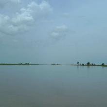


Waza Logone Floodplain
-
Country:Cameroon
-
Designation date:20-03-2006
-
Site number:1609
-
Published since:18 year(s)
600,000 ha -
-
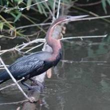
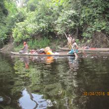

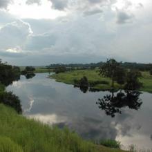
Lac Télé/Likouala-aux-herbes
-
Country:Congo
-
Designation date:18-06-1998
-
Site number:950
-
Published since:6 year(s)
438,960 ha -
-
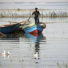
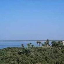
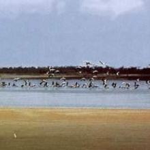
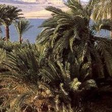
Lake Qarun Protected Area
-
Country:Egypt
-
Designation date:04-06-2012
-
Site number:2040
-
Published since:11 year(s)
134,042 ha -
-
Parc National Akanda
-
Country:Gabon
-
Designation date:02-02-2007
-
Site number:1652
-
Published since:7 year(s)
54,000 ha -
-
Iles Ehotilé-Essouman
-
Country:Côte d'Ivoire
-
Designation date:18-10-2005
-
Site number:1584
-
Published since:5 year(s)
27,274 ha -
