Search results

Map

Choose map: | | Download Centroids / Boundaries / Map (pdf)
Materials presented on this website, particularly maps and territorial information, are as-is and as-available based on available data and do not imply the expression of any opinion whatsoever on the part of the Secretariat of the Ramsar Convention concerning the legal status of any country, territory, city or area, or of its authorities, or concerning the delimitation of its frontiers or boundaries.

List

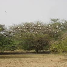
  1. Forêt inondée à Acacia kirkii (Akagoun – Youwarou)
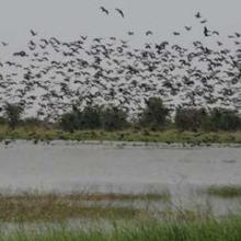
    Bande de Dendrocygnes fauves au bord du lac Débo
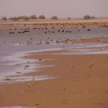
    Limicoles
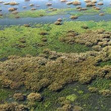
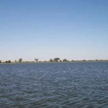
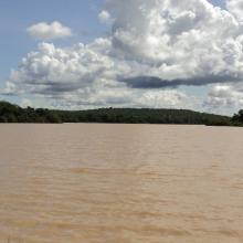
    Une vue du Delta Intérieur du fleuve Niger au Mali
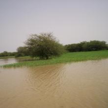
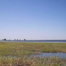
    Akagoun en étiage
    x
    x
    x
    x
    Tombouctou

    Delta Intérieur du Niger

    • Country: 
      Mali
    • Designation date: 
      01-02-2004
    • Site number: 
      1365
    • Published since: 
      20 year(s)
    4,119,500 ha
  2. The new sewage settling ponds in the dunes to the east of Walvis Bay (not part of the Ramsar site).
    Counting birds at the new sewage settling ponds.
    Flamingos and other waders at the new sewage settling ponds with the town of Walvis Bay in the background.
    Flamingos and waders in the Walvis Bay lagoon.
    The Walvis Bay salt works are within the Ramsar site.
     "Bird Paradise" sewage settling ponds (not part of the Ramsar site).  These have since been drained because of an alleged mosquito problem.
    View across the Walvis Bay lagoon, looking west.

    Walvis Bay

    • Country: 
      Namibia
    • Designation date: 
      23-08-1995
    • Site number: 
      742
    • Published since: 
      28 year(s)
    12,600 ha
  3. The Orange River Mouth from the Namibian side looking south.  Pelicans, cormorants and large flocks of terns are using the sandspit as a roost.
    Great White Pelicans (Pelecanus onocrotalus) and large flocks of terns (Sterna sp.) at the Orange River Mouth.
    View of the Orange River Mouth from Swartkop looking west.  The river mouth is in the centre of the picture.
    View of the Oppenheimer bridge from Swartkop.

    Orange River Mouth

    • Country: 
      Namibia
    • Designation date: 
      23-08-1995
    • Site number: 
      744
    • Published since: 
      28 year(s)
    500 ha
  4. Ramsar logo

    Bwabwata-Okavango Ramsar Site

    • Country: 
      Namibia
    • Designation date: 
      13-12-2013
    • Site number: 
      2193
    • Published since: 
      10 year(s)
    46,964 ha
  5. Des hippoptames
    Oiseaux d'eau
    Une vue de la plaine de Sourou
    Une vue de la plaine de Sourou
    x
    Oiseaux d’eau du Sourou
    Peuplement pur de Mytragina inermis
    Peuplement pur d’Anogeissus leiocarpus
    Crocodiles du Sourou

    Plaine Inondable du Sourou

    • Country: 
      Mali
    • Designation date: 
      22-03-2013
    • Site number: 
      2128
    • Published since: 
      11 year(s)
    56,500 ha
  6. Panneau Association protection Lac Magui
    Zone de pêche au Lac Magui
    Vue de la mare Doro, plus grand plan d'eau de Magui
    Peuplement de Doum au lac Magui
    Acacia senegal en inondation temporaire au lac Magui
    Cormorans au lac Magui
    Dortoir des oiseaux d'eau au lac Magui
    Ilot dortoir au lac Magui
    Ilot du lac Magui
    Campement e pêcheurs au bord du lac Magui
    Zone de pâturage

    Lac Magui

    • Country: 
      Mali
    • Designation date: 
      22-03-2013
    • Site number: 
      2126
    • Published since: 
      11 year(s)
    24,740 ha
  7. Lioness on the eastern edge of Etosha Pan near Namutoni.  Exceptionally high rainfall in Angola and northern Namibia resulted in the pan filling up.
    The old fort at Namutoni with Fischer's Pan in the foreground, eastern Etosha.
    Giraffe on the edge of Fischer's Pan, eastern Etosha.
    Causeway across Fischer's Pan flooded by exceptionally high water levels.
    Ephemeral waterhole formed during the rainy season.
    View of the eastern edge of Etosha Pan near Namutoni.
    View of the eastern edge of Etosha Pan near Namutoni.
    Blue Cranes on the edge of Etosha Pan near Doringdraai, eastern Etosha.

    Etosha Pan

    • Country: 
      Namibia
    • Designation date: 
      23-08-1995
    • Site number: 
      745
    • Published since: 
      28 year(s)
    600,000 ha
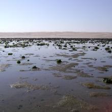
  8. View across the lagoon at low tide, looking north-west.
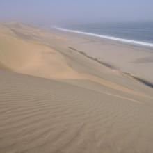
    Looking south along the edge of the lagoon.
    Musselbeds on the mudflats, looking east.
    Musselbeds on the mudflats, looking east.
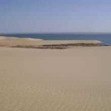
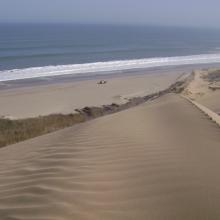
    View across the lagoon from the adjacent dunes, looking south-west.
    Remains of the northern, freshwater wetland, looking south.
    Remains of the northern, freshwater wetland, looking south.

    Sandwich Harbour

    • Country: 
      Namibia
    • Designation date: 
      23-08-1995
    • Site number: 
      743
    • Published since: 
      28 year(s)
    16,500 ha
  9. Pirogues traditionnelles au lac Wegnia
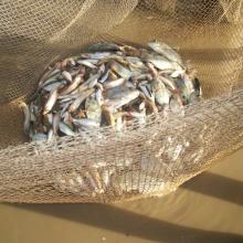
    Poissons du lac Wegnia
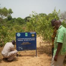
    Parcelle de mise en defens
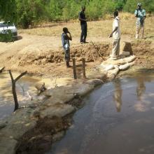
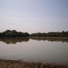
    Lac Wegnia en étiage
    Barrage artisanale de retenue
    Végétation du lac Wegnia
    Vue de la partie Ouest du lac Wegnia
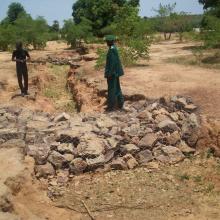
    Formation pour la lutte contre l'érosion
    Lutte contre le ravinement
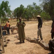
    Comité des villageois, gestion du lac Wegnia

    Lac Wegnia

    • Country: 
      Mali
    • Designation date: 
      22-03-2013
    • Site number: 
      2127
    • Published since: 
      11 year(s)
    3,900 ha
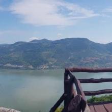
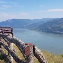
  10. Danube marshy river banks
    Kovilovo
    Kovilovo
    Kovilovo
    Kovilovo
    Mali Strbac
    Ploce
    Sokolovac
    Sokolovac

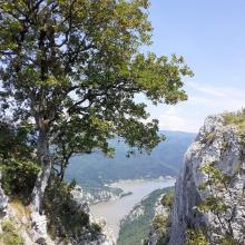
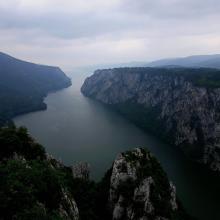
    Djerdap

    • Country: 
      Serbia
    • Designation date: 
      08-06-2020
    • Site number: 
      2442
    • Published since: 
      3 year(s)
    66,525 ha

Pages

Stats


Exports

Export Sites information

For a summary list of all the Ramsar Sites in pdf format, click here.

Generate reports of selected Sites

You can generate a report based on the filters you have applied, in either pdf or xls format. The report will sort the results by the Site name, unless you have sorted them by another variable.

For the pdfs, you can choose whether to include the introductory text on each Site, or just show the key data in a shorter report.

To receive a report, please provide your email address and enter the text in the verification picture into the textbox.

As soon as the list has been generated an e-mail will be sent to you with the link to access the file.