Search results
Search found 18 Ramsar Sites covering 214,025 ha
- (-) Remove Region/country: Asia filter Region/country: Asia
- (-) Remove Ecosystem services: Maintenance of hydrological regimes filter Ecosystem services: Maintenance of hydrological regimes
- (-) Remove Region/country: Japan filter Region/country: Japan
- (-) Remove Sites on Montreux record?: No filter Sites on Montreux record?: No
- (-) Remove Threats: Water regulation filter Threats: Water regulation
- (-) Remove Max elevation (in meters): 0 - 499 filter Max elevation (in meters): 0 - 499
- (-) Remove Region/country: Europe filter Region/country: Europe
- (-) Remove Region/country: Latvia filter Region/country: Latvia
- (-) Remove Region/country: Thailand filter Region/country: Thailand
- (-) Remove Ecosystem services: Regulating Services filter Ecosystem services: Regulating Services
- (-) Remove Region/country: Sweden filter Region/country: Sweden
Map
Materials presented on this website, particularly maps and territorial information, are as-is and as-available based on available data and do not imply the expression of any opinion whatsoever on the part of the Secretariat of the Ramsar Convention concerning the legal status of any country, territory, city or area, or of its authorities, or concerning the delimitation of its frontiers or boundaries.
List
-
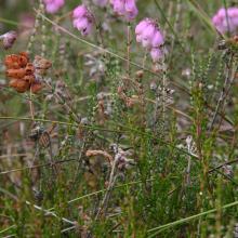

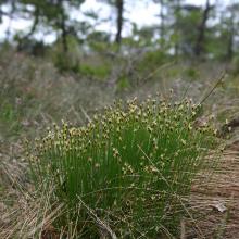

Komosse
-
Country:Sweden
-
Designation date:14-11-2001
-
Site number:1121
-
Published since:7 year(s)
4,288 ha -
-
Dumme mosse
-
Country:Sweden
-
Designation date:14-11-2001
-
Site number:1117
-
Published since:7 year(s)
3,098 ha -
-
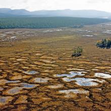
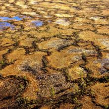
Gullhög-Tönningfloarna
-
Country:Sweden
-
Designation date:19-03-2013
-
Site number:2169
-
Published since:7 year(s)
1,881 ha -
-

Ko Ra-Ko Phra Thong Archipelago
-
Country:Thailand
-
Designation date:12-08-2013
-
Site number:2153
-
Published since:10 year(s)
19,648 ha -
-
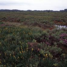
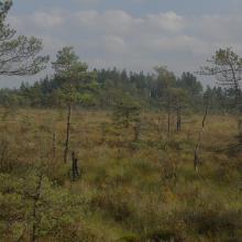
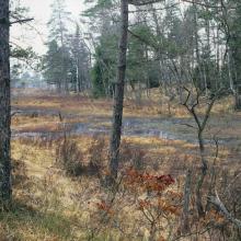
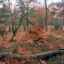
Tönnersjöheden-Årshultsmyren
-
Country:Sweden
-
Designation date:19-11-2001
-
Site number:1131
-
Published since:7 year(s)
12,388 ha -
-
Kallgate-Hejnum
-
Country:Sweden
-
Designation date:14-11-2001
-
Site number:1120
-
Published since:6 year(s)
1,647 ha -
-
Skälderviken
-
Country:Sweden
-
Designation date:14-11-2001
-
Site number:1127
-
Published since:5 year(s)
1,463 ha -
-

Don Hoi Lot
-
Country:Thailand
-
Designation date:05-07-2001
-
Site number:1099
-
Published since:22 year(s)
87,500 ha -
-
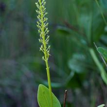
Gustavsmurarna-Tröskens rikkärr
-
Country:Sweden
-
Designation date:19-03-2013
-
Site number:2170
-
Published since:5 year(s)
660 ha -
-

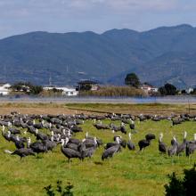
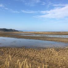
Izumi Wintering Habitat of Cranes
-
Country:Japan
-
Designation date:18-11-2021
-
Site number:2462
-
Published since:2 year(s)
478 ha -


