Search results
Search found 13 Ramsar Sites covering 336,790 ha
- (-) Remove Picture available?: Yes filter Picture available?: Yes
- (-) Remove Region/country: Asia filter Region/country: Asia
- (-) Remove Region/country: Africa filter Region/country: Africa
- (-) Remove Ecosystem services: Provisioning Services filter Ecosystem services: Provisioning Services
- (-) Remove Region/country: Uganda filter Region/country: Uganda
- (-) Remove Region/country: Ghana filter Region/country: Ghana
- (-) Remove Threats: Human intrusions & disturbance filter Threats: Human intrusions & disturbance
- (-) Remove Region/country: Congo filter Region/country: Congo
- (-) Remove Region/country: Japan filter Region/country: Japan
Map
Materials presented on this website, particularly maps and territorial information, are as-is and as-available based on available data and do not imply the expression of any opinion whatsoever on the part of the Secretariat of the Ramsar Convention concerning the legal status of any country, territory, city or area, or of its authorities, or concerning the delimitation of its frontiers or boundaries.
List
-
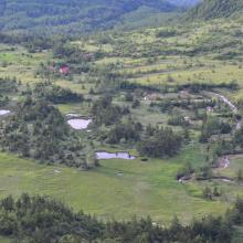
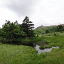
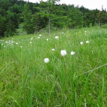
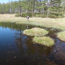
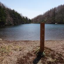
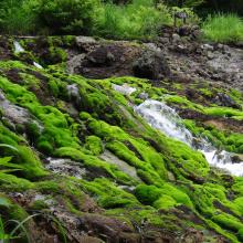
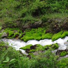
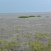
Yoshigadaira Wetlands
-
Country:Japan
-
Designation date:28-05-2015
-
Site number:2233
-
Published since:9 year(s)
887 ha -
-
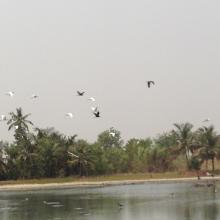
Keta Lagoon Complex Ramsar Site
-
Country:Ghana
-
Designation date:14-08-1992
-
Site number:567
-
Published since:8 year(s)
101,023 ha -
-

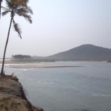
Muni-Pomadze Ramsar Site
-
Country:Ghana
-
Designation date:14-08-1992
-
Site number:563
-
Published since:8 year(s)
9,461 ha -
-
Owabi Wildlife Sanctuary Ramsar Site
-
Country:Ghana
-
Designation date:22-02-1988
-
Site number:393
-
Published since:8 year(s)
7,260 ha -
-
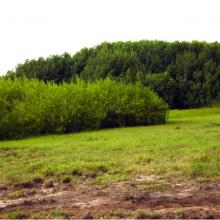
Songor Ramsar Site
-
Country:Ghana
-
Designation date:14-08-1992
-
Site number:566
-
Published since:8 year(s)
51,133 ha -
-

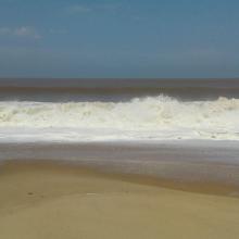
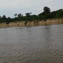

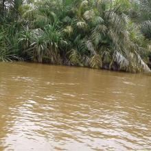


Bas-Kouilou-Yombo
-
Country:Congo
-
Designation date:25-09-2017
-
Site number:2325
-
Published since:6 year(s)
55,124 ha -
-
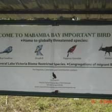
Mabamba Bay Wetland System
-
Country:Uganda
-
Designation date:15-09-2006
-
Site number:1638
-
Published since:17 year(s)
2,424 ha -
-
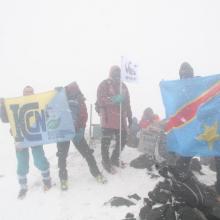
Rwenzori Mountains Ramsar Site
-
Country:Uganda
-
Designation date:23-01-2008
-
Site number:1861
-
Published since:16 year(s)
99,500 ha -
-

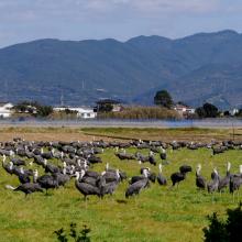
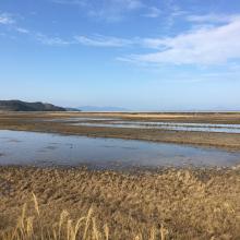
Izumi Wintering Habitat of Cranes
-
Country:Japan
-
Designation date:18-11-2021
-
Site number:2462
-
Published since:2 year(s)
478 ha -
-
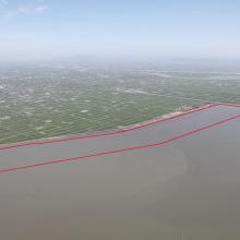
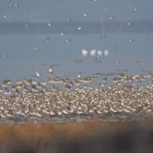
Higashiyoka-higata
-
Country:Japan
-
Designation date:28-05-2015
-
Site number:2234
-
Published since:9 year(s)
218 ha -

