Search results
Search found 20 Ramsar Sites covering 16,328,733 ha
- (-) Remove Region/country: Oceania filter Region/country: Oceania
- (-) Remove Ramsar criteria: 3 filter Ramsar criteria: 3
- (-) Remove Ecosystem services: Regulating Services filter Ecosystem services: Regulating Services
- (-) Remove Region/country: Africa filter Region/country: Africa
- (-) Remove Region/country: Mali filter Region/country: Mali
- (-) Remove Region/country: United Republic of Tanzania filter Region/country: United Republic of Tanzania
- (-) Remove Region/country: Congo filter Region/country: Congo
- (-) Remove Region/country: Marshall Islands filter Region/country: Marshall Islands
- (-) Remove Transboundary Site: No filter Transboundary Site: No
Map
Materials presented on this website, particularly maps and territorial information, are as-is and as-available based on available data and do not imply the expression of any opinion whatsoever on the part of the Secretariat of the Ramsar Convention concerning the legal status of any country, territory, city or area, or of its authorities, or concerning the delimitation of its frontiers or boundaries.
List
-

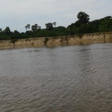

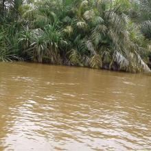


Bas-Kouilou-Yombo
-
Country:Congo
-
Designation date:25-09-2017
-
Site number:2325
-
Published since:6 year(s)
55,124 ha -
-
Cayo-Loufoualeba
-
Country:Congo
-
Designation date:13-12-2007
-
Site number:1740
-
Published since:16 year(s)
15,366 ha -
-
Conkouati-Douli
-
Country:Congo
-
Designation date:13-12-2007
-
Site number:1741
-
Published since:16 year(s)
504,950 ha -
-
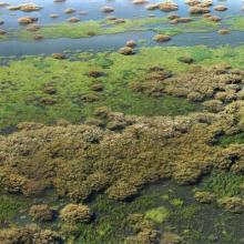

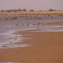

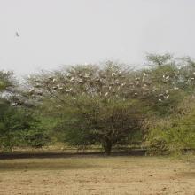
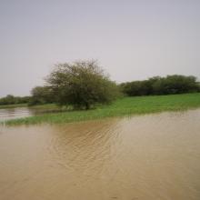

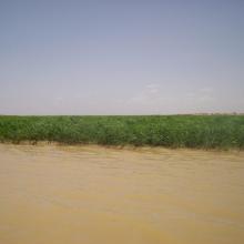

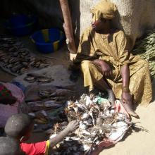
Delta Intérieur du Niger
-
Country:Mali
-
Designation date:01-02-2004
-
Site number:1365
-
Published since:20 year(s)
4,119,500 ha -
-
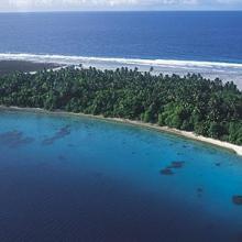
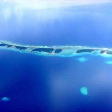
Jaluit Atoll Conservation Area
-
Country:Marshall Islands
-
Designation date:13-07-2004
-
Site number:1389
-
Published since:19 year(s)
69,000 ha -
-

Kilombero Valley Floodplain
-
Country:United Republic of Tanzania
-
Designation date:25-04-2002
-
Site number:1173
-
Published since:22 year(s)
796,735 ha -
-


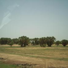

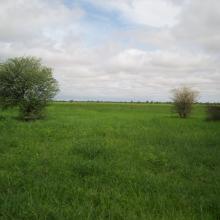
Lac Magui
-
Country:Mali
-
Designation date:22-03-2013
-
Site number:2126
-
Published since:11 year(s)
24,740 ha -
-

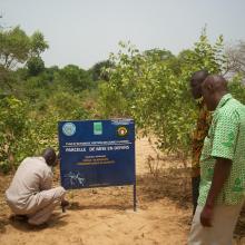
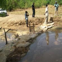
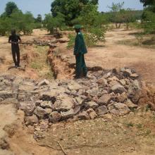
Lac Wegnia
-
Country:Mali
-
Designation date:22-03-2013
-
Site number:2127
-
Published since:11 year(s)
3,900 ha -
-
Leketi-Mbama
-
Country:Congo
-
Designation date:02-02-2015
-
Site number:2222
-
Published since:9 year(s)
774,965 ha -
-
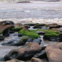


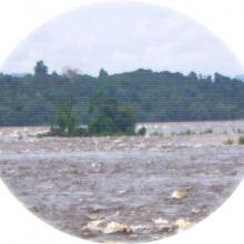
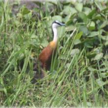
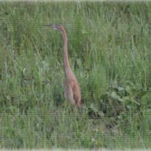

Les Rapides du Congo-Djoué
-
Country:Congo
-
Designation date:03-04-2009
-
Site number:1857
-
Published since:15 year(s)
2,500 ha -


