Search results
Search found 58 Ramsar Sites covering 496,619 ha
- (-) Remove Designation date: 1989 filter Designation date: 1989
- (-) Remove Ecosystem services: Cultural Services filter Ecosystem services: Cultural Services
- (-) Remove Statutory designation taxonomy: UNESCO Biosphere Reserve filter Statutory designation taxonomy: UNESCO Biosphere Reserve
- (-) Remove Ecosystem services: Recreation and tourism filter Ecosystem services: Recreation and tourism
- (-) Remove Region/country: Europe filter Region/country: Europe
- (-) Remove Designation date: December 1989 filter Designation date: December 1989
- (-) Remove Picture available?: No filter Picture available?: No
- (-) Remove Wetland type: Inland wetlands filter Wetland type: Inland wetlands
- (-) Remove Transboundary Site: No filter Transboundary Site: No
- (-) Remove Management plan available: Yes filter Management plan available: Yes
- (-) Remove Wetland type: Y: Permanent Freshwater springs; oases filter Wetland type: Y: Permanent Freshwater springs; oases
Map
Materials presented on this website, particularly maps and territorial information, are as-is and as-available based on available data and do not imply the expression of any opinion whatsoever on the part of the Secretariat of the Ramsar Convention concerning the legal status of any country, territory, city or area, or of its authorities, or concerning the delimitation of its frontiers or boundaries.
List
-

Dersingham Bog
-
Country:United Kingdom of Great Britain and Northern Ireland
-
Designation date:12-09-1995
-
Site number:751
-
Published since:25 year(s)
158 ha -
-

Tavvavuoma
-
Country:Sweden
-
Designation date:05-12-1974
-
Site number:33
-
Published since:7 year(s)
28,920 ha -
-

Marais Vernier et Vallée de la Risle maritime
-
Country:France
-
Designation date:18-12-2015
-
Site number:2247
-
Published since:8 year(s)
9,564 ha -
-


Komosse
-
Country:Sweden
-
Designation date:14-11-2001
-
Site number:1121
-
Published since:7 year(s)
4,288 ha -
-
Dumme mosse
-
Country:Sweden
-
Designation date:14-11-2001
-
Site number:1117
-
Published since:7 year(s)
3,098 ha -
-

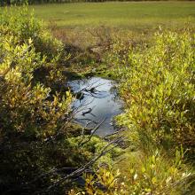

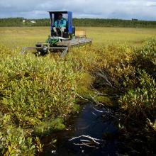

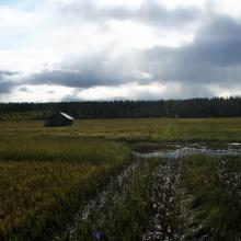


Vasikkavuoma
-
Country:Sweden
-
Designation date:19-03-2013
-
Site number:2179
-
Published since:7 year(s)
200 ha -
-
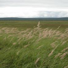
Koitelainen Mires
-
Country:Finland
-
Designation date:28-05-1974
-
Site number:12
-
Published since:3 year(s)
48,938 ha -
-

Comana Natural Park
-
Country:Romania
-
Designation date:05-03-2009
-
Site number:2004
-
Published since:12 year(s)
24,963 ha -
-
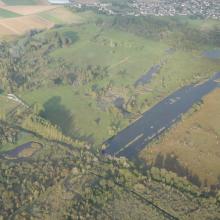

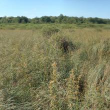


Marais de Sacy
-
Country:France
-
Designation date:09-10-2017
-
Site number:2312
-
Published since:6 year(s)
1,073 ha -
-
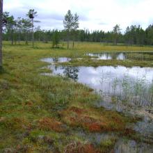
Storkölen
-
Country:Sweden
-
Designation date:14-11-2001
-
Site number:1129
-
Published since:6 year(s)
6,992 ha -

