Search results

Map

Choose map: | | Download Centroids / Boundaries / Map (pdf)
Materials presented on this website, particularly maps and territorial information, are as-is and as-available based on available data and do not imply the expression of any opinion whatsoever on the part of the Secretariat of the Ramsar Convention concerning the legal status of any country, territory, city or area, or of its authorities, or concerning the delimitation of its frontiers or boundaries.

List

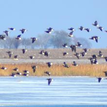
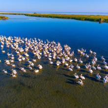
  1. Birds in the estuaries
    Birds in the estuaries
    Burnas
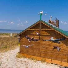
    Eco-educational center
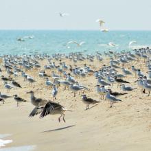
    Birds in the estuaries
    Birds in the estuaries
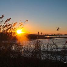
    Tuzly Limans. Autumn
    Birds in the estuaries
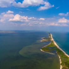
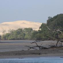
    A sand spit of Tuzlivski Limans

    Shagany-Alibei-Burnas Lakes System

    • Country: 
      Ukraine
    • Designation date: 
      28-02-1997
    • Site number: 
      763
    • Published since: 
      1 year(s)
    27,600 ha
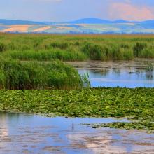
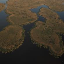
  2. Aerial view of Fertőrákos Bay at Lake Fertő

    Lake Fertö

    • Country: 
      Hungary
    • Designation date: 
      17-03-1989
    • Site number: 
      420
    • Published since: 
      8 year(s)
    8,432 ha
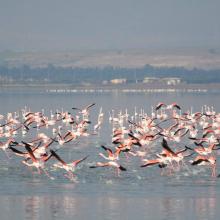
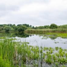
  3. Lac Telamine

    Lac de Télamine

    • Country: 
      Algeria
    • Designation date: 
      12-12-2004
    • Site number: 
      1423
    • Published since: 
      6 year(s)
    2,399 ha
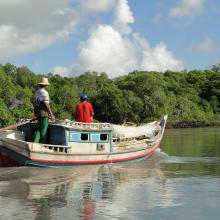
  4. ICMBio
    ICMBio
    ICMBio
    Helder Lana
    ICMBio

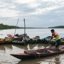
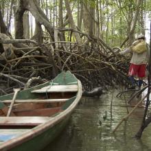
    Amazon Estuary and its Mangroves

    • Country: 
      Brazil
    • Designation date: 
      19-03-2018
    • Site number: 
      2337
    • Published since: 
      5 year(s)
    3,850,253 ha
  5. X
    X

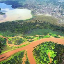
    Tana River Delta Ramsar Site

    • Country: 
      Kenya
    • Designation date: 
      09-07-2012
    • Site number: 
      2082
    • Published since: 
      11 year(s)
    163,600 ha
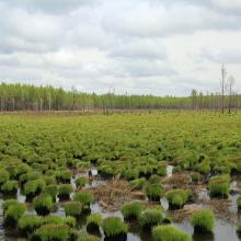
  6. Youhao Wetlands
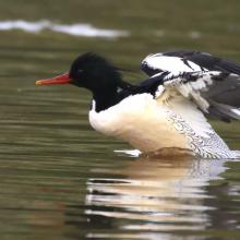
    Mergus squamatus
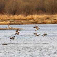
    Anas platyrhynchos
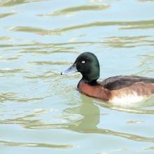
    Aythya baeri

    Heilongjiang Youhao Wetlands

    • Country: 
      China
    • Designation date: 
      08-01-2018
    • Site number: 
      2353
    • Published since: 
      5 year(s)
    60,687 ha
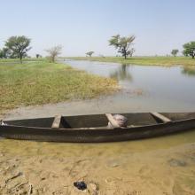
  7. Photo 1 : Plan d'eau de la vallée du Sourou
    Photo 2 : Engin de pêche aux abords du plan d'eau
    Photo 3 : Station de pompage d'eau pour le périmètre irrigué (2245 ha) aménagé dans le cadre du Millenium Challenge Account (MCA)
    Photo 4 : Un pêcheur en pleine prise de poisson
    Photo 7 : Étendue de spéculations maraîchères  dans le périmètre aménagé   dans le cadre du MCA
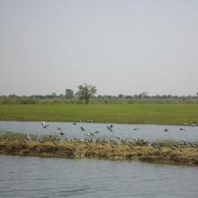
    Photo 6 : Richesse ornithologique du site de la vallée du Sourou
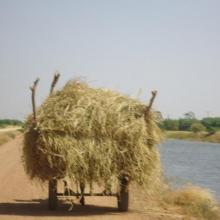
    Photo 5 : Récolte de la paille sur le site de la vallée du Sourou
    Photo 8 : Pêcheur solitaire sur  la rive droite de la vallée du Sourou
    Photo 9 : Étendue du périmètre aménagé

    La Vallée du Sourou

    • Country: 
      Burkina Faso
    • Designation date: 
      07-10-2009
    • Site number: 
      1885
    • Published since: 
      6 year(s)
    21,157 ha
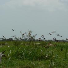
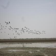
  8. Photo 1 : Envol d'oiseau sur la mare d'Oursi en période sèche
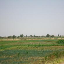
    Photo 2 : Vue panoramique du paysage dans le bassin versant de la mare d'Oursi
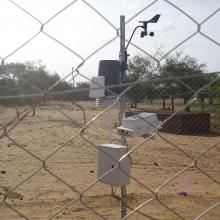
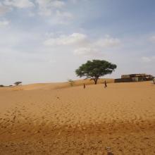
    Photo 3 : Station agro-météorologique installée sur le site de la mare d'Oursi par le Projet REP-Sahel de l'OSS
    Photo 4 : Dune de sable aux abords de la mare d'Oursi
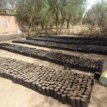
    Photo 5 : Production de plants pour la protection des berges autour de la mare par le service forestier
    Photo 6 : Envol d'oiseaux sur le site de la mare d'Oursi
    Photo 7 : îlot de végétation au niveau sur les berges de la mare d'Oursi

    La Mare d'Oursi

    • Country: 
      Burkina Faso
    • Designation date: 
      27-06-1990
    • Site number: 
      490
    • Published since: 
      6 year(s)
    35,000 ha
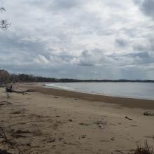
  9. Corio Bay
    Shoalwater

    Shoalwater and Corio Bays Area

    • Country: 
      Australia
    • Designation date: 
      01-03-1996
    • Site number: 
      792
    • Published since: 
      5 year(s)
    202,023 ha
  10. Kugurlui Lake
    Larus ridibundus on the nest
    Lake Kugurlui in the point of its connection with Lake Kartal
    Lake Kugurlui in the point of its connection with Lake Kartal
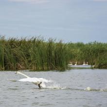
    Ardeola ralloides
    Cygnus olor

    Kugurlui Lake

    • Country: 
      Ukraine
    • Designation date: 
      28-02-1997
    • Site number: 
      760
    • Published since: 
      1 year(s)
    13,493 ha

Pages

Stats


Exports

Export Sites information

For a summary list of all the Ramsar Sites in pdf format, click here.

Generate reports of selected Sites

You can generate a report based on the filters you have applied, in either pdf or xls format. The report will sort the results by the Site name, unless you have sorted them by another variable.

For the pdfs, you can choose whether to include the introductory text on each Site, or just show the key data in a shorter report.

To receive a report, please provide your email address and enter the text in the verification picture into the textbox.

As soon as the list has been generated an e-mail will be sent to you with the link to access the file.