Search results

Map

Choose map: | | Download Centroids / Boundaries / Map (pdf)
Materials presented on this website, particularly maps and territorial information, are as-is and as-available based on available data and do not imply the expression of any opinion whatsoever on the part of the Secretariat of the Ramsar Convention concerning the legal status of any country, territory, city or area, or of its authorities, or concerning the delimitation of its frontiers or boundaries.

List

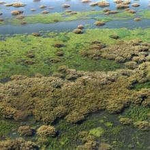
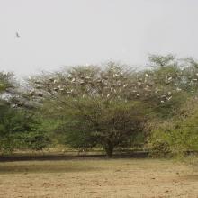
  1. Forêt inondée à Acacia kirkii (Akagoun – Youwarou)
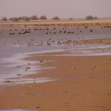
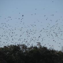
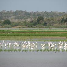
    Bande de Dendrocygnes fauves au bord du lac Débo
    Limicoles
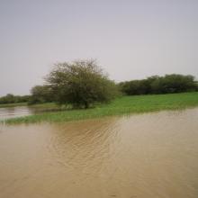
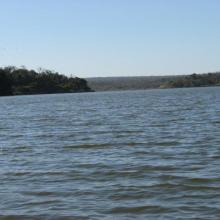
    Une vue du Delta Intérieur du fleuve Niger au Mali
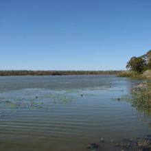
    Akagoun en étiage
    x
    x
    x
    x
    Tombouctou

    Delta Intérieur du Niger

    • Country: 
      Mali
    • Designation date: 
      01-02-2004
    • Site number: 
      1365
    • Published since: 
      20 year(s)
    4,119,500 ha
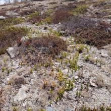
  2. Overview of Yoshigadaira moor
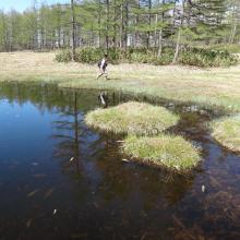
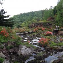
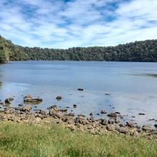
    Yoshigadaira moor ponds
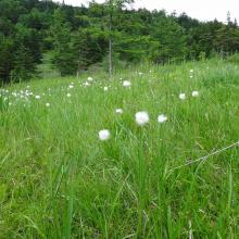
    Eriopqhorum vaginatum in Yoshigadaira
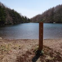
    Odaira moor pond
    Odaira moor pond
    Asian skunk cabbage (Lysichiton camtschatcense)
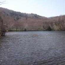
    Heibeeike pond
    Oike pond
    Mizu-ike pond
    Mt. Kusatsu-Shirane
    Yugama crator lake
    Solfatara plants
    Anajigoku Overview
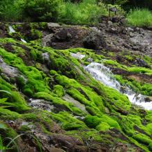
    Anajigoku (Jungermannia volcanicola communities)
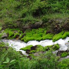
    Anajigoku (Jungermannia volcanicola communities)
    Forest Green Tree Frogs at Heibee pond

    Yoshigadaira Wetlands

    • Country: 
      Japan
    • Designation date: 
      28-05-2015
    • Site number: 
      2233
    • Published since: 
      8 year(s)
    887 ha
  3. Guelta Matmata
    Lac Gabou
    Tamourt Naaj
    Tamourt Naaj
    Guelta Bajai
    Guelta ElGidya

    Lac Gabou et le réseau hydrographique du Plateau du Tagant

    • Country: 
      Mauritania
    • Designation date: 
      13-02-2009
    • Site number: 
      1854
    • Published since: 
      15 year(s)
    9,500 ha
  4. marais de Torotorofotsy
    marais de Torotorofotsy
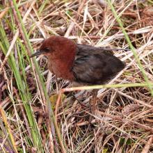
    Sarothrura watersi
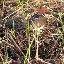
    Rostratula benghalensis

    Marais de Torotorofotsy avec leurs bassins versants

    • Country: 
      Madagascar
    • Designation date: 
      02-02-2005
    • Site number: 
      1453
    • Published since: 
      7 year(s)
    9,993 ha
  5. Youhao Wetlands
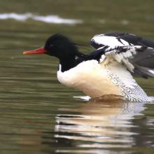
    Mergus squamatus
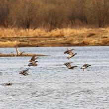
    Anas platyrhynchos
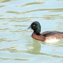
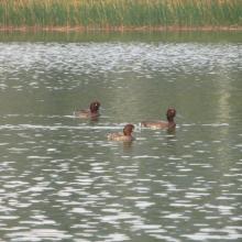
    Aythya baeri

    Heilongjiang Youhao Wetlands

    • Country: 
      China
    • Designation date: 
      08-01-2018
    • Site number: 
      2353
    • Published since: 
      5 year(s)
    60,687 ha
  6. Autumn landscape of Hani Wetland
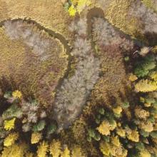
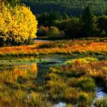
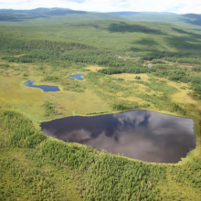
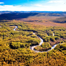
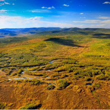
    Catchment area of Hani Wetland
    Summer landscape of Hani Wetland

    Jilin Hani Wetlands

    • Country: 
      China
    • Designation date: 
      08-01-2018
    • Site number: 
      2350
    • Published since: 
      5 year(s)
    3,572 ha
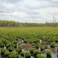
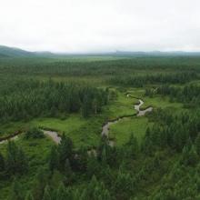
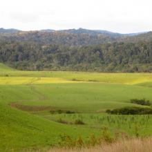
  7. Wetland landscape
    Wetland landscape
    Wetland landscape
    Wetland landscape
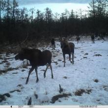
    Alces alces
    Tetrao parvirostris
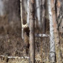
    Martes zibellina
     Ursus arctos
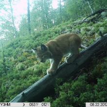
    Lynx lynx

    Inner Mongolia Grand Khingan Hanma Wetlands

    • Country: 
      China
    • Designation date: 
      08-01-2018
    • Site number: 
      2351
    • Published since: 
      5 year(s)
    107,348 ha
  8. paysage
    paysage
    chauve-souris
    chauve-souris
    aigle pêcheur de Madagascar
    communautés aviaires

    Complexe des lacs de Manambolomaty

    • Country: 
      Madagascar
    • Designation date: 
      25-09-1998
    • Site number: 
      963
    • Published since: 
      7 year(s)
    7,491 ha
  9. Lac Matsaborimena
    Marécage de Marotaolana
    Lac Andriakanala
    Lac Andriakanala
    Forêt galerie de Bemanevika
    Paysage forestier de Bemanevika
    Formation galerie sur marécage
    Lac Maramarantsalegy
    Aythya inotata
    Elévage en captivité de Aythya inotata
    Gallinula chloropus
    Cyex madagascariensis
    Papillons de Bemanevkia
    Calumma hafahafa

    Complexe des Zones Humides de Bemanevika

    • Country: 
      Madagascar
    • Designation date: 
      02-02-2017
    • Site number: 
      2287
    • Published since: 
      7 year(s)
    10,000 ha
  10. Baie de Beheloka
    parcelle 7 et 8
    plage zone de ponte
    plage zone de ponte
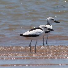
    Dromas adreola
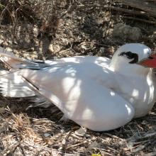
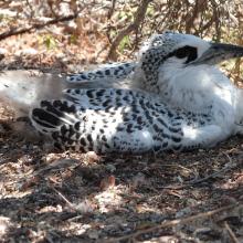
    Phaethon rubricauda
    Phaethon rubricauda
    Sterna bengalensis

    Barrière de Corail Nosy Ve Androka

    • Country: 
      Madagascar
    • Designation date: 
      02-02-2017
    • Site number: 
      2285
    • Published since: 
      7 year(s)
    91,445 ha

Pages

Stats


Exports

Export Sites information

For a summary list of all the Ramsar Sites in pdf format, click here.

Generate reports of selected Sites

You can generate a report based on the filters you have applied, in either pdf or xls format. The report will sort the results by the Site name, unless you have sorted them by another variable.

For the pdfs, you can choose whether to include the introductory text on each Site, or just show the key data in a shorter report.

To receive a report, please provide your email address and enter the text in the verification picture into the textbox.

As soon as the list has been generated an e-mail will be sent to you with the link to access the file.