Search results

Map

Choose map: | | Download Centroids / Boundaries / Map (pdf)
Materials presented on this website, particularly maps and territorial information, are as-is and as-available based on available data and do not imply the expression of any opinion whatsoever on the part of the Secretariat of the Ramsar Convention concerning the legal status of any country, territory, city or area, or of its authorities, or concerning the delimitation of its frontiers or boundaries.

List

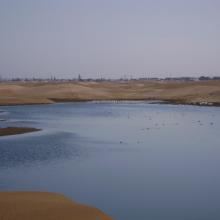
  1. The new sewage settling ponds in the dunes to the east of Walvis Bay (not part of the Ramsar site).
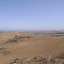
    Counting birds at the new sewage settling ponds.
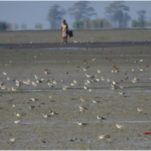
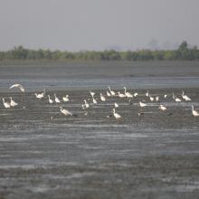
    Flamingos and other waders at the new sewage settling ponds with the town of Walvis Bay in the background.
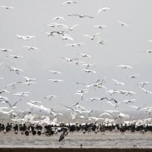
    Flamingos and waders in the Walvis Bay lagoon.
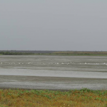
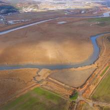
    The Walvis Bay salt works are within the Ramsar site.
     "Bird Paradise" sewage settling ponds (not part of the Ramsar site).  These have since been drained because of an alleged mosquito problem.
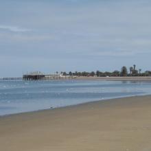
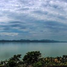
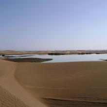
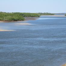
    View across the Walvis Bay lagoon, looking west.

    Walvis Bay

    • Country: 
      Namibia
    • Designation date: 
      23-08-1995
    • Site number: 
      742
    • Published since: 
      28 year(s)
    12,600 ha
  2. marais de Torotorofotsy
    marais de Torotorofotsy
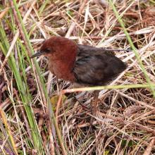
    Sarothrura watersi
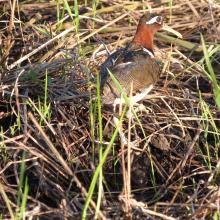
    Rostratula benghalensis

    Marais de Torotorofotsy avec leurs bassins versants

    • Country: 
      Madagascar
    • Designation date: 
      02-02-2005
    • Site number: 
      1453
    • Published since: 
      7 year(s)
    9,993 ha
  3. Mangroves d'Antrema
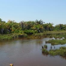
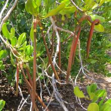
    `Succession de mangroves
    Marécages raphières
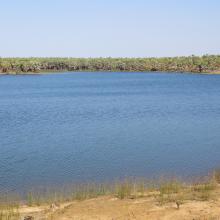
    Lac Sahariake
    Site de restauration de mangroves
    Graines de Rhizophora mucronata
    Fruits de Bruguiera gymnorrhiza
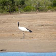
    Threskiornis bernieri
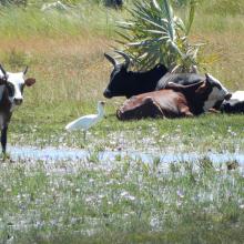
    Platalea alba
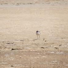
    Charadrius marginatus
    Haliaeetus vociferoides
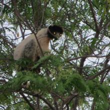
    Propithecus coronatus
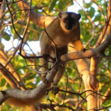
    Eulemur fulvus
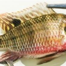
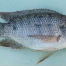
    Tilapia zilii
    Tilapia rendalli
    Pratilapia polleni
    Oreochromis mossambicus

    Site Bioculturel d'Antrema

    • Country: 
      Madagascar
    • Designation date: 
      02-02-2017
    • Site number: 
      2286
    • Published since: 
      7 year(s)
    20,620 ha
  4. Ghodaghodi Lake Area

    • Country: 
      Nepal
    • Designation date: 
      13-08-2003
    • Site number: 
      1314
    • Published since: 
      20 year(s)
    2,563 ha
  5. The evening scene of Wanghu
    Fuhe River eocosystem
    Summer scenery of Wanghu
    Habitat of  Wuzhuazui

    Hubei Wang Lake

    • Country: 
      China
    • Designation date: 
      08-01-2018
    • Site number: 
      2349
    • Published since: 
      5 year(s)
    20,495 ha
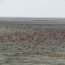
  6. Flock of Crab at Nanthar Island
    Habitat Type of Waterbirds, Nanthar Island
    Birds in northern part of Nanthar Island
    Birds and mangroves of Nanthar Island
    Habitat Type of Nanthar Island and Mayyu Estuary
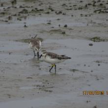
    Spoon-billed sandpiper found on the Nanthar Island

    Nanthar Island and Mayyu Estuary

    • Country: 
      Myanmar
    • Designation date: 
      22-05-2020
    • Site number: 
      2421
    • Published since: 
      3 year(s)
    3,608 ha
  7. A landscape of Lower Maruyama River taken from Toyooka Bridge located in the site "Lower Maruyama River and the surrounding rice paddies"

    Lower Maruyama River and the Surrounding Rice Paddies

    • Country: 
      Japan
    • Designation date: 
      03-07-2012
    • Site number: 
      2055
    • Published since: 
      5 year(s)
    1,094 ha
  8. Van Long Wetland Nature Reserve

    Van Long Wetland Nature Reserve

    • Country: 
      Viet Nam
    • Designation date: 
      10-02-2017
    • Site number: 
      2360
    • Published since: 
      5 year(s)
    2,736 ha
  9. rice paddies located south from the mouth of Dongcheon Estuary
    Dongcheon river and rice paddies, north from the mouth of Dongcheon Estuary
    Confluence between Dongchean and Yisacheon rivers

    Dongcheon Estuary

    • Country: 
      Republic of Korea
    • Designation date: 
      20-01-2016
    • Site number: 
      2269
    • Published since: 
      7 year(s)
    540 ha
  10. lac Alaotra au crépuscule
    Lac Alaotra avec ces végétations caractéristiques
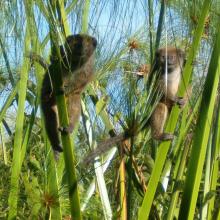
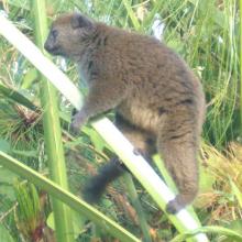
    Hapalemur alaotrensis (bandro) en pleine activités
    marais avec Cyperus madagascariensis: habitat type de Hapalemur alaotrensis (bandro)
     femelle de Hapalemur alaotrensis (bandro)

    Le Lac Alaotra : Les Zones Humides et Bassins Versants

    • Country: 
      Madagascar
    • Designation date: 
      09-09-2003
    • Site number: 
      1312
    • Published since: 
      7 year(s)
    722,500 ha

Pages

Stats


Exports

Export Sites information

For a summary list of all the Ramsar Sites in pdf format, click here.

Generate reports of selected Sites

You can generate a report based on the filters you have applied, in either pdf or xls format. The report will sort the results by the Site name, unless you have sorted them by another variable.

For the pdfs, you can choose whether to include the introductory text on each Site, or just show the key data in a shorter report.

To receive a report, please provide your email address and enter the text in the verification picture into the textbox.

As soon as the list has been generated an e-mail will be sent to you with the link to access the file.