Search results
Search found 13 Ramsar Sites covering 1,846,609 ha
- (-) Remove Picture available?: Yes filter Picture available?: Yes
- (-) Remove Region/country: Asia filter Region/country: Asia
- (-) Remove Region/country: Africa filter Region/country: Africa
- (-) Remove Region/country: Mauritania filter Region/country: Mauritania
- (-) Remove Region/country: Madagascar filter Region/country: Madagascar
- (-) Remove Wetland type: Marine or coastal wetlands filter Wetland type: Marine or coastal wetlands
- (-) Remove Wetland type: E: Sand, shingle or pebble shores filter Wetland type: E: Sand, shingle or pebble shores
Map
Materials presented on this website, particularly maps and territorial information, are as-is and as-available based on available data and do not imply the expression of any opinion whatsoever on the part of the Secretariat of the Ramsar Convention concerning the legal status of any country, territory, city or area, or of its authorities, or concerning the delimitation of its frontiers or boundaries.
List
-


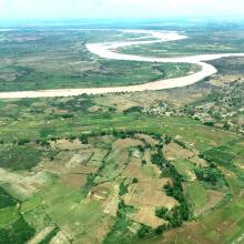
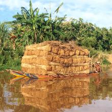
Mangroves de Tsiribihina
-
Country:Madagascar
-
Designation date:22-05-2017
-
Site number:2302
-
Published since:6 year(s)
47,218 ha -
-


Parc National du Banc d'Arguin
-
Country:Mauritania
-
Designation date:22-10-1982
-
Site number:250
-
Published since:25 year(s)
1,200,000 ha -
-
Lower Maruyama River and the Surrounding Rice Paddies
-
Country:Japan
-
Designation date:03-07-2012
-
Site number:2055
-
Published since:5 year(s)
1,094 ha -
-
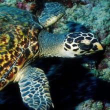
Jabal Ali Wetland Sanctuary
-
Country:United Arab Emirates
-
Designation date:25-10-2018
-
Site number:2364
-
Published since:5 year(s)
2,002 ha -
-
Du-ung Wetland Ramsar Site
-
Country:Republic of Korea
-
Designation date:20-12-2007
-
Site number:1724
-
Published since:6 year(s)
7 ha -
-
Khao Sam Roi Yot Wetland
-
Country:Thailand
-
Designation date:08-01-2008
-
Site number:2238
-
Published since:8 year(s)
6,892 ha -
-
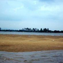
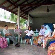
Krabi Estuary
-
Country:Thailand
-
Designation date:05-07-2001
-
Site number:1100
-
Published since:22 year(s)
21,299 ha -
-
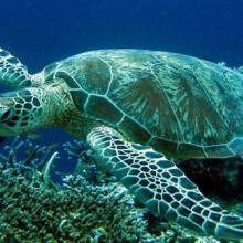
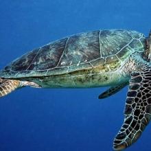
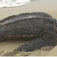

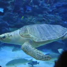

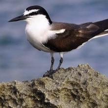
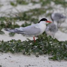
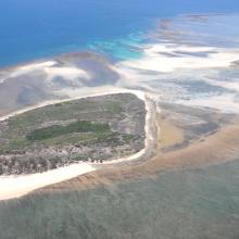
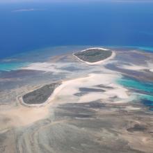
Iles Barren
-
Country:Madagascar
-
Designation date:22-05-2017
-
Site number:2303
-
Published since:6 year(s)
463,200 ha -
-
Guangdong Haifeng Wetlands
-
Country:China
-
Designation date:02-02-2008
-
Site number:1727
-
Published since:6 year(s)
11,590 ha -
-

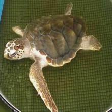
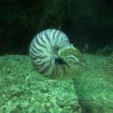
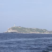
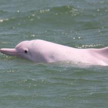

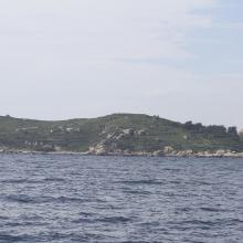
Guangdong Nanpeng Archipelago Wetlands
-
Country:China
-
Designation date:16-10-2015
-
Site number:2249
-
Published since:8 year(s)
35,679 ha -






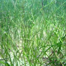
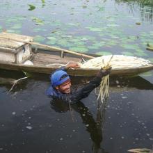
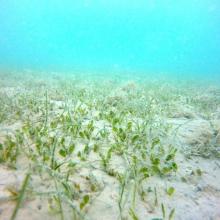
![Caulerpa sp. [cf noodle seagrass (Syringodium isoetifolium)] Caulerpa sp. [cf noodle seagrass (Syringodium isoetifolium)]](https://rsistest.ramsar.org/sites/default/files/styles/risv_medium/public/RISapp/files/35663068/pictures/Caulerpa%20sp.%20%5Bcf%20noodle%20seagrass%20%28Syringodium%20isoetifolium%29%5D.JPG?itok=mha42UJr)
