Search results

Map

Choose map: | | Download Centroids / Boundaries / Map (pdf)
Materials presented on this website, particularly maps and territorial information, are as-is and as-available based on available data and do not imply the expression of any opinion whatsoever on the part of the Secretariat of the Ramsar Convention concerning the legal status of any country, territory, city or area, or of its authorities, or concerning the delimitation of its frontiers or boundaries.

List

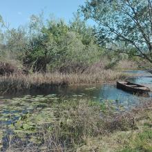
  1. Educational trail
    Karaotok
    Karaotok
    Karaotok
    Karaotok
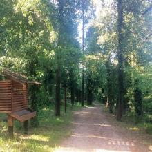
    Educational trail
    Educational trail
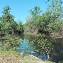
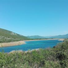
    Lake Škrka
    Lake Svitava
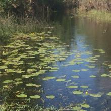
    Nuphar lutea
    Natrix tesselata
    Vipera ammodytes

    Hutovo Blato

    • Country: 
      Bosnia and Herzegovina
    • Designation date: 
      24-09-2001
    • Site number: 
      1105
    • Published since: 
      4 year(s)
    7,824 ha
  2. Lac Oubeira
    Lac Oubeira
    Lac Oubeira

    Réserve Intégrale du Lac Oubeïra

    • Country: 
      Algeria
    • Designation date: 
      04-11-1983
    • Site number: 
      280
    • Published since: 
      6 year(s)
    2,200 ha
  3. Lac Matsaborimena
    Marécage de Marotaolana
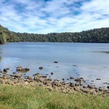
    Lac Andriakanala
    Lac Andriakanala
    Forêt galerie de Bemanevika
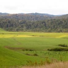
    Paysage forestier de Bemanevika
    Formation galerie sur marécage
    Lac Maramarantsalegy
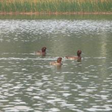
    Aythya inotata
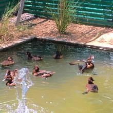
    Elévage en captivité de Aythya inotata
    Gallinula chloropus
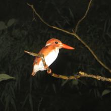
    Cyex madagascariensis
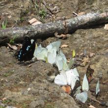
    Papillons de Bemanevkia
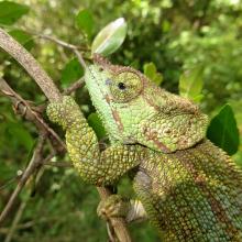
    Calumma hafahafa

    Complexe des Zones Humides de Bemanevika

    • Country: 
      Madagascar
    • Designation date: 
      02-02-2017
    • Site number: 
      2287
    • Published since: 
      7 year(s)
    10,000 ha
  4. Zones humides, forêts, Rivières et ressources du site

    Ngiri-Tumba-Maindombe

    • Country: 
      Democratic Republic of the Congo
    • Designation date: 
      24-07-2008
    • Site number: 
      1784
    • Published since: 
      6 year(s)
    6,569,624 ha
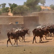
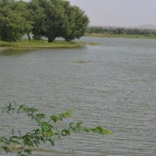
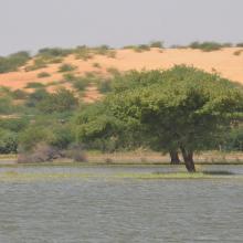
  5. Tabalak
    Tabalak
    Tabalak
    Tabalak
    Tabalak

    La Mare de Tabalak

    • Country: 
      Niger
    • Designation date: 
      16-09-2005
    • Site number: 
      1494
    • Published since: 
      6 year(s)
    107,100 ha
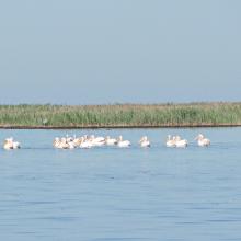
  6. Wite Pelicans near the island Dzharylgach
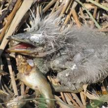
    Breakfast of the chicken of Gray Herons on the Cakinitsky islands
    The wet chicken of Sandwich Tern on the island  Dzharylgach
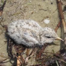
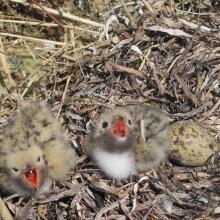
    Chicks of the Common Tern on the island Dzharylgach
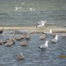
    Young Yellow-legged Gull on the Cakinitsky islands

    Karkinitska and Dzharylgatska Bays

    • Country: 
      Ukraine
    • Designation date: 
      11-10-1976
    • Site number: 
      114
    • Published since: 
      1 year(s)
    147,557 ha
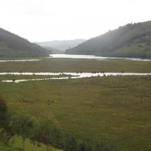
  7. Rugezi picture
    Rugezi picture

    Rugezi-Burera-Ruhondo

    • Country: 
      Rwanda
    • Designation date: 
      12-01-2005
    • Site number: 
      1589
    • Published since: 
      7 year(s)
    6,736 ha
  8. Délimitation de la réserve spéciale d'avifaune du Ndiaël
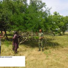
    Spécimen de Dalbergia melanoxylon
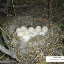
    Nid oie de Gambie dans la zone de Niourkoulène
    îlot de nidification des oies de Gambie(Sud réserve)
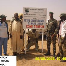
    Délimitation réserve Ndiaël(Pancartage)
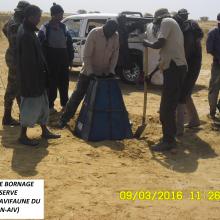
    Travaux de bornage dans la réserve du Ndiaël
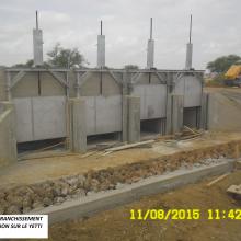
    Ouvrage de franchissement et de régulation sur le Yetti yone
     Prix AEWA 2015 décerné à l'Association Inter-villageoise du Ndiaël(AIV)
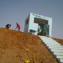
    Mirador d'observation de Yowré
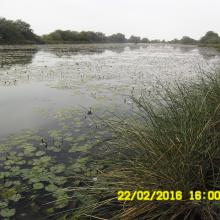
    Visite Mission BAD dans la réserve du Ndiael(lisière Grande mare)
    Impact du dragage du cours d'eau de Yetti yone par le PREFELAG
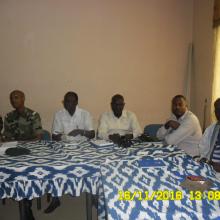
    Initiation des gardes de la réserve et de certains  membres de l'AIV aux techniques d'identification et de dénombrement de l'avifaune.
    Initiation des gardes de la réserve et de certains  membres de l'AIV aux techniques d'identification et de dénombrement de l'avifaune.
    Spécimen de Celtis integrifolia

    Réserve Spéciale de Faune de Ndiaël

    • Country: 
      Senegal
    • Designation date: 
      11-07-1977
    • Site number: 
      139
    • Published since: 
      5 year(s)
    26,000 ha
  9. le marais salé
    plage
    Le Gois

    Marais Breton, Baie de Bourgneuf, Ile de Noirmoutier et Forêt de Monts

    • Country: 
      France
    • Designation date: 
      02-02-2017
    • Site number: 
      2283
    • Published since: 
      7 year(s)
    55,826 ha
  10. View of Amirkelayeh- Nelumbo nucifera
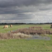
    View of amirkelayeh wetland from the horbour
    an amazing view of Nymphaea nouchali community in Amirkelayeh

    Amirkelayeh Lake

    • Country: 
      Iran (Islamic Republic of)
    • Designation date: 
      23-06-1975
    • Site number: 
      47
    • Published since: 
      1 year(s)
    1,132 ha

Pages

Stats


Exports

Export Sites information

For a summary list of all the Ramsar Sites in pdf format, click here.

Generate reports of selected Sites

You can generate a report based on the filters you have applied, in either pdf or xls format. The report will sort the results by the Site name, unless you have sorted them by another variable.

For the pdfs, you can choose whether to include the introductory text on each Site, or just show the key data in a shorter report.

To receive a report, please provide your email address and enter the text in the verification picture into the textbox.

As soon as the list has been generated an e-mail will be sent to you with the link to access the file.