Search results
Search found 29 Ramsar Sites covering 2,287,872 ha
- (-) Remove Picture available?: Yes filter Picture available?: Yes
- (-) Remove Threats: Invasive and other problematic species and genes filter Threats: Invasive and other problematic species and genes
- (-) Remove Ecosystem services: Provisioning Services filter Ecosystem services: Provisioning Services
- (-) Remove Transboundary Site: No filter Transboundary Site: No
- (-) Remove Ecosystem services: Genetic materials filter Ecosystem services: Genetic materials
- (-) Remove Max elevation (in meters): 0 - 499 filter Max elevation (in meters): 0 - 499
Map
Materials presented on this website, particularly maps and territorial information, are as-is and as-available based on available data and do not imply the expression of any opinion whatsoever on the part of the Secretariat of the Ramsar Convention concerning the legal status of any country, territory, city or area, or of its authorities, or concerning the delimitation of its frontiers or boundaries.
List
-
La Mare aux hippopotames
-
Country:Burkina Faso
-
Designation date:27-06-1990
-
Site number:491
-
Published since:7 year(s)
19,200 ha -
-

Parc National d’Azagny
-
Country:Côte d'Ivoire
-
Designation date:27-02-1996
-
Site number:790
-
Published since:5 year(s)
19,400 ha -
-
Cayo-Loufoualeba
-
Country:Congo
-
Designation date:13-12-2007
-
Site number:1740
-
Published since:16 year(s)
15,366 ha -
-

Las Salinas de Huentelauquén (LSH)
-
Country:Chile
-
Designation date:02-02-2015
-
Site number:2237
-
Published since:8 year(s)
2,772 ha -
-
Conkouati-Douli
-
Country:Congo
-
Designation date:13-12-2007
-
Site number:1741
-
Published since:16 year(s)
504,950 ha -
-

Glenelg Estuary and Discovery Bay Ramsar Site
-
Country:Australia
-
Designation date:28-02-2018
-
Site number:2344
-
Published since:5 year(s)
22,289 ha -
-



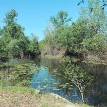
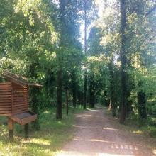

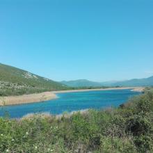

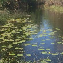
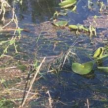

Hutovo Blato
-
Country:Bosnia and Herzegovina
-
Designation date:24-09-2001
-
Site number:1105
-
Published since:4 year(s)
7,824 ha -
-
Réserve Intégrale du Lac Oubeïra
-
Country:Algeria
-
Designation date:04-11-1983
-
Site number:280
-
Published since:6 year(s)
2,200 ha -
-
Dallol Bosso
-
Country:Niger
-
Designation date:26-04-2004
-
Site number:1382
-
Published since:6 year(s)
892,122 ha -
-
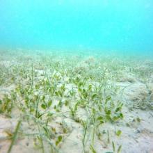
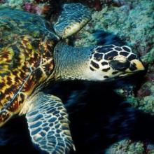
Jabal Ali Wetland Sanctuary
-
Country:United Arab Emirates
-
Designation date:25-10-2018
-
Site number:2364
-
Published since:5 year(s)
2,002 ha -











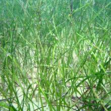
![Caulerpa sp. [cf noodle seagrass (Syringodium isoetifolium)] Caulerpa sp. [cf noodle seagrass (Syringodium isoetifolium)]](https://rsistest.ramsar.org/sites/default/files/styles/risv_medium/public/RISapp/files/35663068/pictures/Caulerpa%20sp.%20%5Bcf%20noodle%20seagrass%20%28Syringodium%20isoetifolium%29%5D.JPG?itok=mha42UJr)
