Search results

Map

Choose map: | | Download Centroids / Boundaries / Map (pdf)
Materials presented on this website, particularly maps and territorial information, are as-is and as-available based on available data and do not imply the expression of any opinion whatsoever on the part of the Secretariat of the Ramsar Convention concerning the legal status of any country, territory, city or area, or of its authorities, or concerning the delimitation of its frontiers or boundaries.

List

  1. Reentrancias Maranhenses

    Reentrancias Maranhenses

    • Country: 
      Brazil
    • Designation date: 
      30-11-1993
    • Site number: 
      640
    • Published since: 
      2 year(s)
    2,680,911 ha
  2. ICMBio
    ICMBio
    ICMBio
    Helder Lana
    ICMBio

    Amazon Estuary and its Mangroves

    • Country: 
      Brazil
    • Designation date: 
      19-03-2018
    • Site number: 
      2337
    • Published since: 
      5 year(s)
    3,850,253 ha
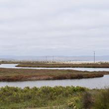
  3. Vista panorámica del Humedal Huentelauquén, desde ribera norte

    Las Salinas de Huentelauquén (LSH)

    • Country: 
      Chile
    • Designation date: 
      02-02-2015
    • Site number: 
      2237
    • Published since: 
      8 year(s)
    2,772 ha
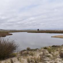
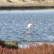
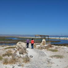
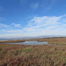
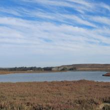
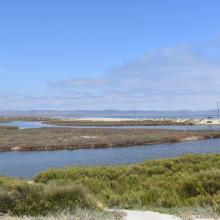
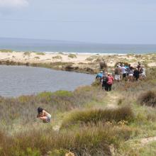
  4. Humedal Salinas Chica
    Humedal Salinas Chica
    Humedal Pachingo
    Humedal Salinas Chica
    Humedales de Tongoy
    Humedal Salinas Grande
    Humedal Salinas Chica
    Humedal Salinas Chica

    Humedales Costeros de la Bahía Tongoy

    • Country: 
      Chile
    • Designation date: 
      21-11-2018
    • Site number: 
      2361
    • Published since: 
      5 year(s)
    259 ha
  5. The Orange River Mouth from the Namibian side looking south.  Pelicans, cormorants and large flocks of terns are using the sandspit as a roost.
    Great White Pelicans (Pelecanus onocrotalus) and large flocks of terns (Sterna sp.) at the Orange River Mouth.
    View of the Orange River Mouth from Swartkop looking west.  The river mouth is in the centre of the picture.
    View of the Oppenheimer bridge from Swartkop.

    Orange River Mouth

    • Country: 
      Namibia
    • Designation date: 
      23-08-1995
    • Site number: 
      744
    • Published since: 
      28 year(s)
    500 ha
  6. X
    X

    Tana River Delta Ramsar Site

    • Country: 
      Kenya
    • Designation date: 
      09-07-2012
    • Site number: 
      2082
    • Published since: 
      11 year(s)
    163,600 ha
  7. Trappola marsh
    Overview Trappola marsh
    Glasswort and Limonium
    Trappola Beach

    Trappola Marshland - Ombrone River Mouth

    • Country: 
      Italy
    • Designation date: 
      13-10-2016
    • Site number: 
      2284
    • Published since: 
      7 year(s)
    536 ha
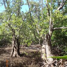
  8. Bosque Enano de Avicennia germinans en Manglar de Santa Elena.
    Bosque de Rhyzophora mangle mixto con Tillandsias y Orchidaseas
    Manglar y pasto marino en el Sistema de Humedales de Santa Elena.
    Humedal de Santa Elena
    Canal del Humedal de Santa Elena
    Manglar de Avicennia germinans en Santa Elena

    Sistema de Humedales de Santa Elena

    • Country: 
      Honduras
    • Designation date: 
      22-03-2018
    • Site number: 
      2334
    • Published since: 
      5 year(s)
    1,543 ha
  9. Forêt à mangrove
    Banc de sable marin
    Rivage  de sable fin
    Lagune de Yombo
    Forêt à raphiales
    Fleuve Kouilou
    Forêt à mangrove

    Bas-Kouilou-Yombo

    • Country: 
      Congo
    • Designation date: 
      25-09-2017
    • Site number: 
      2325
    • Published since: 
      6 year(s)
    55,124 ha
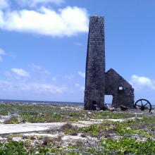
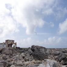
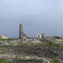
  10. View across Sombrero Island showing Old industrial workings associated with past phosphate mining, - note the date the photo was taken is unknown, not as given
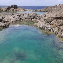
    Pools in craters caused by previous phosphate extraction, Sombrero Island - note the date the photo was taken is unknown, not as given
    Brown Boobys Sula leucogaster on Sombrero Island - note the date the photo was taken is unknown, not as given
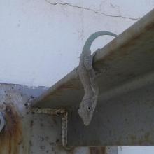
    Probable Anguilla Anole Anolis gingivinus, Sombrero Island.  However DNA samples from Sombrero in the late 1990s showed Anoles on Sombrero to be quite different to those on Anguilla and St Martin: further samples might indicate endemism.
Note the date the photo was taken is unknown, not as given
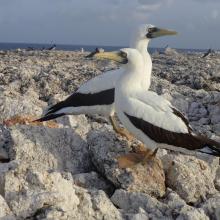
    Masked Booby Sula dactylatra on Sombrero Island - note the date the photo was taken is unknown, not as given
    Pair of Masked Boobys Sula dactylatra chick on Sombrero Island - note the date the photo was taken is unknown, not as given
    Endemic Sombrero Island Ground Lizard Ameiva corvina, Sombrero Island - note the date the photo was taken is unknown, not as given
    Endemic Sombrero Island Ground Lizard Ameiva corvina, Sombrero Island - note the date the photo was taken is unknown, not as given
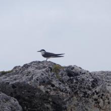
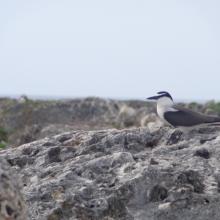
    Bridled Tern Sterna anaethetus,  Sombrero Island - note the date the photo was taken is unknown, not as given
    Masked Booby Sula dactylatra chick on Sombrero Island - note the date the photo was taken is unknown, not as given
    View across Sombrero Island showing old industrial workings associated with past phosphate mining, - note the date the photo was taken is unknown, not as given
    Brown Noddy Anous stolidus on Sombrero Island - note the date the photo was taken is unknown, not as given
    Bridled Tern Sterna anaethetus,  Sombrero Island - note the date the photo was taken is unknown, not as given
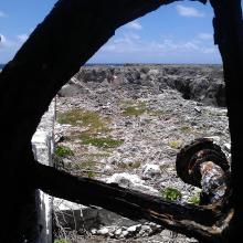
    View across Sombrero Island showing vegetation on old industrial workings associated with past phosphate mining, - note the date the photo was taken is unknown, not as given
    View across Sombrero Island showing vegetation on old industrial workings associated with past phosphate mining, - note the date the photo was taken is unknown, not as given
    Old industrial equipment associated with past phosphate mining, note the date the photo was taken is unknown, not as given
    View across Sombrero Island showing vegetation on old industrial workings associated with past phosphate mining, - note the date the photo was taken is unknown, not as given
    Seabirds on telecommunications mast, Sombrero Island - note the date the photo was taken is unknown, not as given
    Sombrero Island - note the date the photo was taken is unknown, not as given
    Old industrial workings associated with past phosphate mining, Sombrero Island - note the date the photo was taken is unknown, not as given
    Brown Booby Sula leucogaster on Sombrero Island - note the date the photo was taken is unknown, not as given
    View across old phosphate mining areas, Sombrero Island - note the date the photo was taken is unknown, not as given
    Nest site of Brown Noddy Anous stolidus in shelter of rocks, Sombrero Island - note the date the photo was taken is unknown, not as given

    Sombrero Island Nature Reserve Marine Park

    • Country: 
      United Kingdom of Great Britain and Northern Ireland (Overseas territories)
    • Designation date: 
      22-05-2018
    • Site number: 
      2354
    • Published since: 
      5 year(s)
    1,051 ha

Pages

Stats


Exports

Export Sites information

For a summary list of all the Ramsar Sites in pdf format, click here.

Generate reports of selected Sites

You can generate a report based on the filters you have applied, in either pdf or xls format. The report will sort the results by the Site name, unless you have sorted them by another variable.

For the pdfs, you can choose whether to include the introductory text on each Site, or just show the key data in a shorter report.

To receive a report, please provide your email address and enter the text in the verification picture into the textbox.

As soon as the list has been generated an e-mail will be sent to you with the link to access the file.