Search results

Map

Choose map: | | Download Centroids / Boundaries / Map (pdf)
Materials presented on this website, particularly maps and territorial information, are as-is and as-available based on available data and do not imply the expression of any opinion whatsoever on the part of the Secretariat of the Ramsar Convention concerning the legal status of any country, territory, city or area, or of its authorities, or concerning the delimitation of its frontiers or boundaries.

List

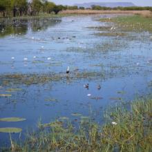
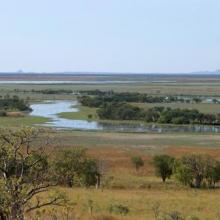
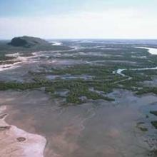
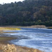
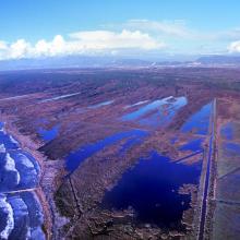
  1. Parry Lagoons
    Ord River Floodplain
    False Mouths of the Ord

    Ord River Floodplain

    • Country: 
      Australia
    • Designation date: 
      07-06-1990
    • Site number: 
      477
    • Published since: 
      6 year(s)
    140,766 ha
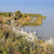
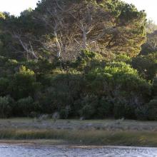
  2. Northern Part of the Dniester Liman
    Northern Part of the Dniester Liman
    Northern Part of the Dniester Liman

    Northern Part of the Dniester Liman

    • Country: 
      Ukraine
    • Designation date: 
      28-02-1997
    • Site number: 
      765
    • Published since: 
      1 year(s)
    25,929 ha
  3. Ramsar logo

    The Coorong, Lake Alexandrina & Albert Wetland

    • Country: 
      Australia
    • Designation date: 
      11-01-1985
    • Site number: 
      321
    • Published since: 
      11 year(s)
    142,530 ha
  4. Anse du Gros Ventre - Péninsule Rallier du Batty - Kerguelen
    Est de la Péninsule Courbet - Kerguelen
    Plateau des Tourbières - île Amsterdam
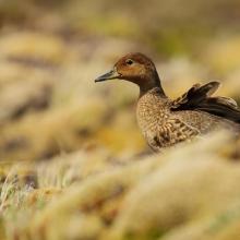
    Canard d'Eaton
    Albatros d'Amsterdam
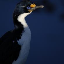
    Cormoran de Kerguelen
    Val Studer - îles Kerguelen

    Réserve naturelle nationale des Terres australes francaises

    • Country: 
      France (outre-mer)
    • Designation date: 
      15-09-2008
    • Site number: 
      1837
    • Published since: 
      5 year(s)
    2,337,100 ha
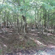
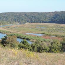
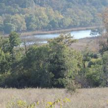
  5. Forest habitat in Ropotamo Complex. The photo was taken during a field study part of the preparation of the Ropotamo Reserve Management Plan.
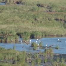
    Waterfowl in Ropotamo Complex. The photo was taken during a field study part of the preparation of the Ropotamo Reserve Management Plan.
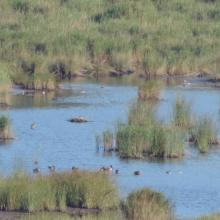
    Cormorants. The photo was taken during a field study part of the preparation of the Ropotamo Reserve Management Plan.
    The photo was taken during a field study part of the preparation of the Ropotamo Reserve Management Plan.
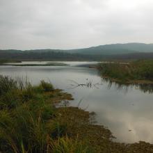
    The bay.
The photo was taken during a field study part of the preparation of the Ropotamo Reserve Management Plan.
    Information table.
The photo was taken during a field study part of the preparation of the Ropotamo Reserve Management Plan.
    The photo was taken during a field study part of the preparation of the Ropotamo Reserve Management Plan.
    Waterfowl in Ropotamo Complex. The photo was taken during a field study part of the preparation of the Ropotamo Reserve Management Plan.
    Marsh.
The photo was taken during a field study part of the preparation of the Ropotamo Reserve Management Plan.
    Ropotamo River.
The photo was taken during a field study part of the preparation of the Ropotamo Reserve Management Plan.
    Ropotamo River.
The photo was taken during a field study part of the preparation of the Ropotamo Reserve Management Plan.
    Ropotamo River.
The photo was taken during a field study part of the preparation of the Ropotamo Reserve Management Plan.
    Ropotamo Complex, Dunes
    Ropotamo Complex, Forest

    Ropotamo Complex

    • Country: 
      Bulgaria
    • Designation date: 
      24-09-1975
    • Site number: 
      65
    • Published since: 
      4 year(s)
    3,385 ha
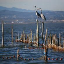
  6. L’Albufera. Sistema de pesca tradicional (redolín)
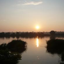
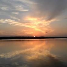
    L’Albufera. Puesta de sol
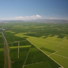
    L’Albufera. Vista aérea de la restinga costera
    L’Albufera. Vista aérea del bosque de la Devesa y de la Mata del Fang.
    L’Albufera. Vista aérea del arrozal en época de cultivo
    L’Albufera. Avifauna en el arrozal inundado.
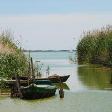
    L’Albufera. Barcas tradicionales de pesca (albuferencs)
    L’Albufera. Imagen de los años 50 de navegación con vela latina
    L’Albufera. Arrozal inundado y construcciones industriales tradicionales

    L'Albufera

    • Country: 
      Spain
    • Designation date: 
      05-12-1989
    • Site number: 
      454
    • Published since: 
      3 year(s)
    20,956 ha
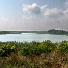
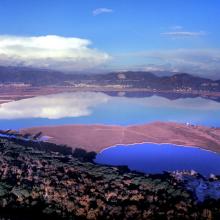
  7. Little Waterhouse Lake, Tasmania
    Little Waterhouse Lake, Tasmania
    Little Waterhouse Lake, Tasmania

    Little Waterhouse Lake

    • Country: 
      Australia
    • Designation date: 
      16-11-1982
    • Site number: 
      260
    • Published since: 
      1 year(s)
    56 ha
  8. Durankulak Lake
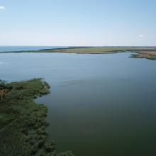
    Durankulak, east side and Black Sea

    Durankulak Lake

    • Country: 
      Bulgaria
    • Designation date: 
      28-11-1984
    • Site number: 
      293
    • Published since: 
      4 year(s)
    1,371 ha
  9. Lame di Fuori Natural Reserve – Massaciuccoli Ramsar Site
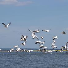
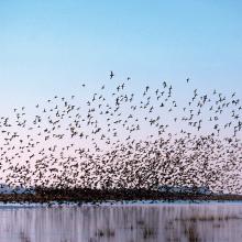
    Wintering ducks – Massaciuccoli Ramsar Site
    Massaciuccoli lake and marshland – Massaciuccoli Ramsar Site
    Flooded forest – Massaciuccoli Ramsar Site

    Massaciuccoli lake and marsh

    • Country: 
      Italy
    • Designation date: 
      22-06-2017
    • Site number: 
      2311
    • Published since: 
      6 year(s)
    11,135 ha
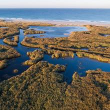
  10. Roselière de Trunvel
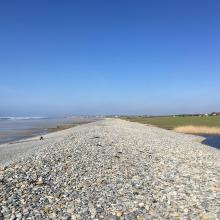
    Cordon de galets à Plovan "Ero vili"
    Queue d'étang de Trunvel
    Dune grise

    Baie d'Audierne

    • Country: 
      France
    • Designation date: 
      04-09-2021
    • Site number: 
      2460
    • Published since: 
      2 year(s)
    2,396 ha

Pages

Stats


Exports

Export Sites information

For a summary list of all the Ramsar Sites in pdf format, click here.

Generate reports of selected Sites

You can generate a report based on the filters you have applied, in either pdf or xls format. The report will sort the results by the Site name, unless you have sorted them by another variable.

For the pdfs, you can choose whether to include the introductory text on each Site, or just show the key data in a shorter report.

To receive a report, please provide your email address and enter the text in the verification picture into the textbox.

As soon as the list has been generated an e-mail will be sent to you with the link to access the file.