Search results

Map

Choose map: | | Download Centroids / Boundaries / Map (pdf)
Materials presented on this website, particularly maps and territorial information, are as-is and as-available based on available data and do not imply the expression of any opinion whatsoever on the part of the Secretariat of the Ramsar Convention concerning the legal status of any country, territory, city or area, or of its authorities, or concerning the delimitation of its frontiers or boundaries.

List

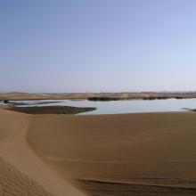
  1. The new sewage settling ponds in the dunes to the east of Walvis Bay (not part of the Ramsar site).
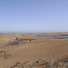
    Counting birds at the new sewage settling ponds.
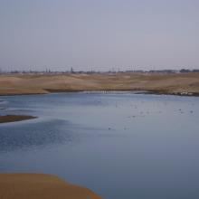
    Flamingos and other waders at the new sewage settling ponds with the town of Walvis Bay in the background.
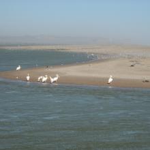
    Flamingos and waders in the Walvis Bay lagoon.
    The Walvis Bay salt works are within the Ramsar site.
     "Bird Paradise" sewage settling ponds (not part of the Ramsar site).  These have since been drained because of an alleged mosquito problem.
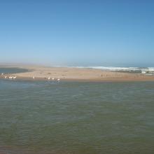
    View across the Walvis Bay lagoon, looking west.

    Walvis Bay

    • Country: 
      Namibia
    • Designation date: 
      23-08-1995
    • Site number: 
      742
    • Published since: 
      28 year(s)
    12,600 ha
  2. The Orange River Mouth from the Namibian side looking south.  Pelicans, cormorants and large flocks of terns are using the sandspit as a roost.
    Great White Pelicans (Pelecanus onocrotalus) and large flocks of terns (Sterna sp.) at the Orange River Mouth.
    View of the Orange River Mouth from Swartkop looking west.  The river mouth is in the centre of the picture.
    View of the Oppenheimer bridge from Swartkop.

    Orange River Mouth

    • Country: 
      Namibia
    • Designation date: 
      23-08-1995
    • Site number: 
      744
    • Published since: 
      28 year(s)
    500 ha
  3. Farewell Spit

    • Country: 
      New Zealand
    • Designation date: 
      13-08-1976
    • Site number: 
      103
    • Published since: 
      32 year(s)
    11,388 ha
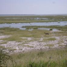
  4. Lioness on the eastern edge of Etosha Pan near Namutoni.  Exceptionally high rainfall in Angola and northern Namibia resulted in the pan filling up.
    The old fort at Namutoni with Fischer's Pan in the foreground, eastern Etosha.
    Giraffe on the edge of Fischer's Pan, eastern Etosha.
    Causeway across Fischer's Pan flooded by exceptionally high water levels.
    Ephemeral waterhole formed during the rainy season.
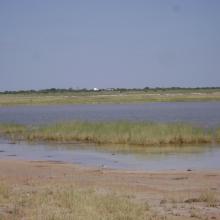
    View of the eastern edge of Etosha Pan near Namutoni.
    View of the eastern edge of Etosha Pan near Namutoni.
    Blue Cranes on the edge of Etosha Pan near Doringdraai, eastern Etosha.

    Etosha Pan

    • Country: 
      Namibia
    • Designation date: 
      23-08-1995
    • Site number: 
      745
    • Published since: 
      28 year(s)
    600,000 ha
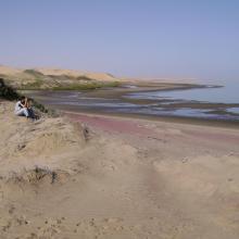
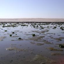
  5. View across the lagoon at low tide, looking north-west.
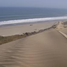
    Looking south along the edge of the lagoon.
    Musselbeds on the mudflats, looking east.
    Musselbeds on the mudflats, looking east.
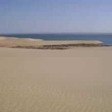
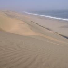
    View across the lagoon from the adjacent dunes, looking south-west.
    Remains of the northern, freshwater wetland, looking south.
    Remains of the northern, freshwater wetland, looking south.

    Sandwich Harbour

    • Country: 
      Namibia
    • Designation date: 
      23-08-1995
    • Site number: 
      743
    • Published since: 
      28 year(s)
    16,500 ha
  6. Imlili _ Alevins du Tilapia apparenté à Coptedon guinenesis
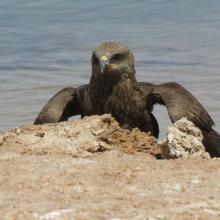
    Imlili _ Milan noir agonisant en bordure d'une poche d'eau
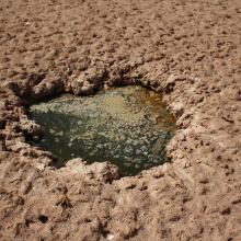
    Imlili _ Poche d’eau montrant une forte cristallisation du sel
    Imlili _ Poche d'eau limpide avec poissons
    Imlili _ Poche d'eau sans poissons présentant un développement algual à la surface
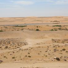
    Imlili _ Poches d'eau et substrat sableux autour
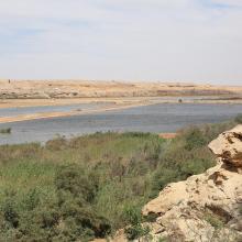
    Imlili _ Végétation halophile mixte de bordure

    Sebkhat Imlili

    • Country: 
      Morocco
    • Designation date: 
      12-01-2018
    • Site number: 
      2323
    • Published since: 
      6 year(s)
    1,774 ha
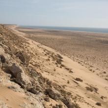
  7. Littoral Aftissate-Boujdour: falaise surplombant directement les eaux océaniques
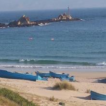
    Littoral Aftissate-Boujdour: diversité des habitats et valeur paysagère (vue vers le Nord)
    Littoral Aftissate-Boujdour: diversité des habitats et valeur paysagère (vue vers le Nord)
    Valeur culturelle du littoral d'Aftissate: tumulus sur le plateau littoral
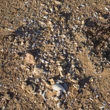
    Valeur culturelle du littoral d'Aftissate: amas coquillier préhistorique sur le plateau littoral

    Côte Aftissate-Boujdour

    • Country: 
      Morocco
    • Designation date: 
      16-04-2019
    • Site number: 
      2377
    • Published since: 
      4 year(s)
    11,700 ha
  8. Oued As-Saqia Al Hamra persant le barrage de dunes sableuses
    Oued As-Saqia Al Hamra à l'amont immédiat du barrage de dunes sableuses
    Oued As-Saqia Al Hamra à l'amont du barrage dunaire _flamants et sarcelles marbrées
    Oued As-Saqia Al Hamra en contact de la ville de La'youne (vue vers l'amont)
    Oued As-Saqia Al Hamra en contact de la ville de La'youne et végétation émergente (vue vers l'amont)

    Oued Assaquia Al Hamra à La'youne

    • Country: 
      Morocco
    • Designation date: 
      16-04-2019
    • Site number: 
      2382
    • Published since: 
      4 year(s)
    9,500 ha
  9. A C
    A C
    A C
    A C
    A C
    A C

    Assifs Réghaya-Aït Mizane

    • Country: 
      Morocco
    • Designation date: 
      16-04-2019
    • Site number: 
      2371
    • Published since: 
      4 year(s)
    830 ha
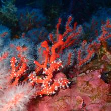
  10. Habitat coralligène à Corail rouge Corallium rubrum
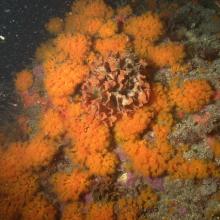
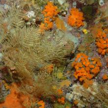
    Paysage coralligène avec Corail orange Astroides calcycularis et hydrozoaires
    Paramuricea clavata
    Paysage coralligène dans la partie marine de Jbel Moussa
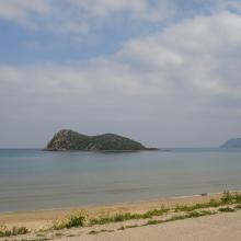
    Îlot Leila
    Cap Cirres
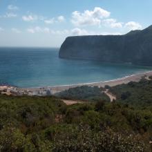
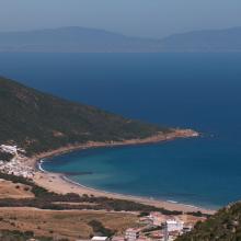
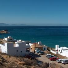
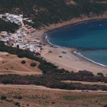
    Plage Marsa
    Plage Marsa
    Plage Dahlia & Cap Cirres.
    Plage Dahlia
    Îlot Leila
    Plage Marsa
    Corail orange Astroides calycularis
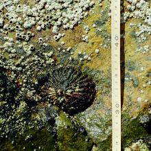
    Patella ferruginea
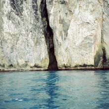
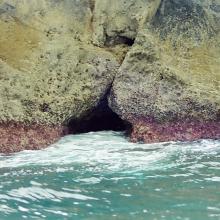
    Grotte marine
    Grotte marine
    Grotte marine
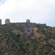
    Vue panoramique de l'Ilôt de Cala Iris
    Tours Torres
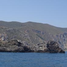
    Paysage du littoral marin à l'extrémité orientale du Parc

    Côte des Bokkoyas

    • Country: 
      Morocco
    • Designation date: 
      16-04-2019
    • Site number: 
      2379
    • Published since: 
      4 year(s)
    5,530 ha

Pages

Stats


Exports

Export Sites information

For a summary list of all the Ramsar Sites in pdf format, click here.

Generate reports of selected Sites

You can generate a report based on the filters you have applied, in either pdf or xls format. The report will sort the results by the Site name, unless you have sorted them by another variable.

For the pdfs, you can choose whether to include the introductory text on each Site, or just show the key data in a shorter report.

To receive a report, please provide your email address and enter the text in the verification picture into the textbox.

As soon as the list has been generated an e-mail will be sent to you with the link to access the file.