Search results

Map

Choose map: | | Download Centroids / Boundaries / Map (pdf)
Materials presented on this website, particularly maps and territorial information, are as-is and as-available based on available data and do not imply the expression of any opinion whatsoever on the part of the Secretariat of the Ramsar Convention concerning the legal status of any country, territory, city or area, or of its authorities, or concerning the delimitation of its frontiers or boundaries.

List

  1. X
    X

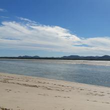
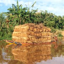
    Tana River Delta Ramsar Site

    • Country: 
      Kenya
    • Designation date: 
      09-07-2012
    • Site number: 
      2082
    • Published since: 
      11 year(s)
    163,600 ha
  2. Ramsar logo

    Alakol-Sasykkol Lakes System

    • Country: 
      Kazakhstan
    • Designation date: 
      25-11-2009
    • Site number: 
      1892
    • Published since: 
      14 year(s)
    914,663 ha
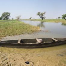
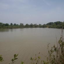
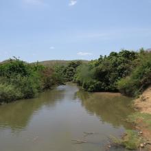
  3. Photo 1 : Plan d'eau de la vallée du Sourou
    Photo 2 : Engin de pêche aux abords du plan d'eau
    Photo 3 : Station de pompage d'eau pour le périmètre irrigué (2245 ha) aménagé dans le cadre du Millenium Challenge Account (MCA)
    Photo 4 : Un pêcheur en pleine prise de poisson
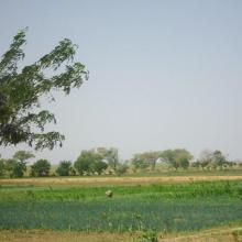
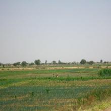
    Photo 7 : Étendue de spéculations maraîchères  dans le périmètre aménagé   dans le cadre du MCA
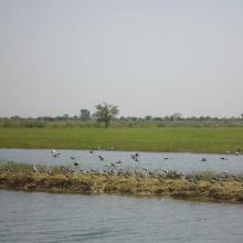
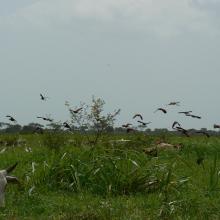
    Photo 6 : Richesse ornithologique du site de la vallée du Sourou
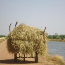
    Photo 5 : Récolte de la paille sur le site de la vallée du Sourou
    Photo 8 : Pêcheur solitaire sur  la rive droite de la vallée du Sourou
    Photo 9 : Étendue du périmètre aménagé

    La Vallée du Sourou

    • Country: 
      Burkina Faso
    • Designation date: 
      07-10-2009
    • Site number: 
      1885
    • Published since: 
      6 year(s)
    21,157 ha
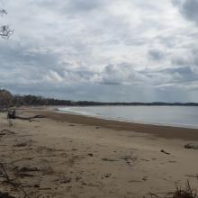
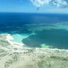
  4. Corio Bay
    Shoalwater

    Shoalwater and Corio Bays Area

    • Country: 
      Australia
    • Designation date: 
      01-03-1996
    • Site number: 
      792
    • Published since: 
      5 year(s)
    202,023 ha
  5. Mare Yanguali dans la plaine d’inondation de la Rivière Pendjari
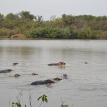
    Mares au Hippo dans la plaine d’inondation de la rivière Pendjari
    Mare Yanguali dans la plaine d’inondation de la Rivière Pendjari

    Zone Humide de la Rivière Pendjari

    • Country: 
      Benin
    • Designation date: 
      02-02-2007
    • Site number: 
      1669
    • Published since: 
      5 year(s)
    483,366 ha
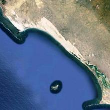
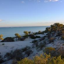
  6. Baie de Beheloka
    parcelle 7 et 8
    plage zone de ponte
    plage zone de ponte
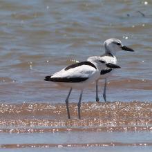
    Dromas adreola
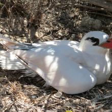
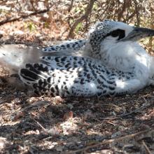
    Phaethon rubricauda
    Phaethon rubricauda
    Sterna bengalensis

    Barrière de Corail Nosy Ve Androka

    • Country: 
      Madagascar
    • Designation date: 
      02-02-2017
    • Site number: 
      2285
    • Published since: 
      7 year(s)
    91,445 ha
  7. Mangroves de Tsiribihina
    Mangroves de Tsiribihina
    Zone intertidale ouverte et lieu de ponte de flamants roses
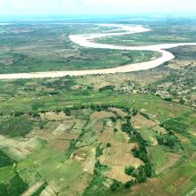
    Le fleuve Tsiribihina
    Les plaines alluviales au bord du fleuve Tsiribihina
    Mangrove mixte à Avicennia marina et Rhizophora mucronata
    Exploitation de Typha angustifolia par les communautés locales
    Peuplement de flamants roses à Ankiamena
    Zones de ponte de flamants roses à Ankiamena
    Anas hottentota
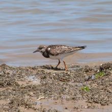
    Arenaria interpres
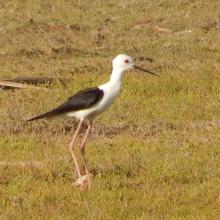
    Himantopus himantopus
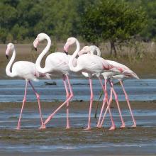
    Phoenicopterus ruber
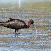
    Plegadis falcinellus

    Mangroves de Tsiribihina

    • Country: 
      Madagascar
    • Designation date: 
      22-05-2017
    • Site number: 
      2302
    • Published since: 
      6 year(s)
    47,218 ha
  8. La rivière Lufira
    Le lac Tshangalele qui est dans le bassin de la lufira
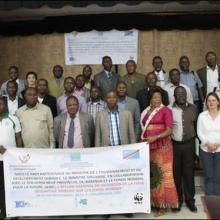
    La photo de l'atelier avec les autorités provinciales
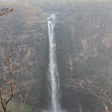
    Chutte de Lofoi

    Bassin de la Lufira

    • Country: 
      Democratic Republic of the Congo
    • Designation date: 
      31-10-2017
    • Site number: 
      2318
    • Published since: 
      6 year(s)
    4,470,993 ha
  9. Ramsar logo

    Lake Baringo

    • Country: 
      Kenya
    • Designation date: 
      10-01-2002
    • Site number: 
      1159
    • Published since: 
      22 year(s)
    31,469 ha
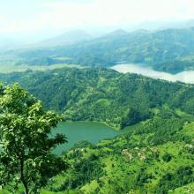
  10. Beauty of Begnas and Rupa Lake
    Dipang Lake
    Gude Lake
    Khaste Lake
    Phewa Lake
    Rupa Lake
    Niurini Lake
    Maidi Lake
    Sunset in Begnas Lake

    Lake Cluster of Pokhara Valley

    • Country: 
      Nepal
    • Designation date: 
      02-02-2016
    • Site number: 
      2257
    • Published since: 
      8 year(s)
    26,106 ha

Pages

Stats


Exports

Export Sites information

For a summary list of all the Ramsar Sites in pdf format, click here.

Generate reports of selected Sites

You can generate a report based on the filters you have applied, in either pdf or xls format. The report will sort the results by the Site name, unless you have sorted them by another variable.

For the pdfs, you can choose whether to include the introductory text on each Site, or just show the key data in a shorter report.

To receive a report, please provide your email address and enter the text in the verification picture into the textbox.

As soon as the list has been generated an e-mail will be sent to you with the link to access the file.