Search results

Map

Choose map: | | Download Centroids / Boundaries / Map (pdf)
Materials presented on this website, particularly maps and territorial information, are as-is and as-available based on available data and do not imply the expression of any opinion whatsoever on the part of the Secretariat of the Ramsar Convention concerning the legal status of any country, territory, city or area, or of its authorities, or concerning the delimitation of its frontiers or boundaries.

List

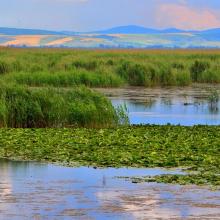
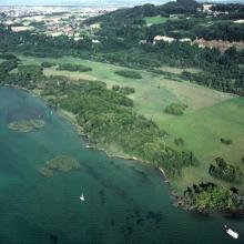
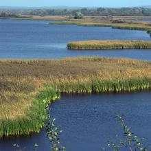
  1. Vue du Parc Ornithologique du Marquenterre

    Baie de Somme

    • Country: 
      France
    • Designation date: 
      23-01-1998
    • Site number: 
      925
    • Published since: 
      7 year(s)
    19,043 ha
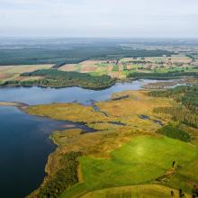
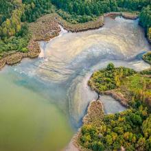
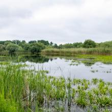
  2. Stary Staw
    Milicz Fishponds
    Milicz Fishponds
    Milicz Fishponds
    Grabownica
    Milicz Fishponds
    Milicz Fishponds
    Milicz Fishponds
    Milicz Fishponds
    Milicz Fishponds
    Milicz Fishponds
    Milicz Fishponds
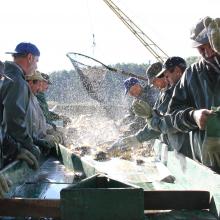
    Fishermen in Milicz Fishponds
    Fishermen in Milicz Fishponds
    Fishermen in Milicz Fishponds

    Milicz Fishponds Nature Reserve

    • Country: 
      Poland
    • Designation date: 
      24-10-1995
    • Site number: 
      758
    • Published since: 
      5 year(s)
    5,298 ha
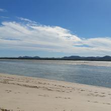
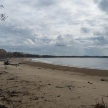
  3. Corio Bay
    Shoalwater

    Shoalwater and Corio Bays Area

    • Country: 
      Australia
    • Designation date: 
      01-03-1996
    • Site number: 
      792
    • Published since: 
      5 year(s)
    202,023 ha
  4. Lido et étang de Salses-Leucate
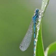
    Agrion de Mercure
    Résurgence de Font Estramar
    Pêche petits métiers
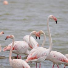
    Flamants roses
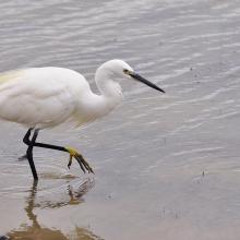
    Aigrette

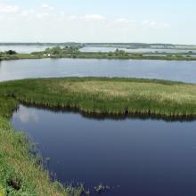
    Etang de Salses-Leucate

    • Country: 
      France
    • Designation date: 
      30-06-2017
    • Site number: 
      2307
    • Published since: 
      6 year(s)
    7,637 ha
  5. Kugurlui Lake
    Larus ridibundus on the nest
    Lake Kugurlui in the point of its connection with Lake Kartal
    Lake Kugurlui in the point of its connection with Lake Kartal
    Ardeola ralloides
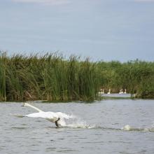
    Cygnus olor

    Kugurlui Lake

    • Country: 
      Ukraine
    • Designation date: 
      28-02-1997
    • Site number: 
      760
    • Published since: 
      1 year(s)
    13,493 ha
  6. Northern Part of the Dniester Liman
    Northern Part of the Dniester Liman
    Northern Part of the Dniester Liman

    Northern Part of the Dniester Liman

    • Country: 
      Ukraine
    • Designation date: 
      28-02-1997
    • Site number: 
      765
    • Published since: 
      1 year(s)
    25,929 ha
  7. Réserve de Cheyres
    Détail de la réserve de la Baie d’Yvonand
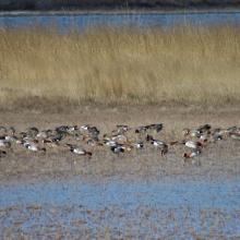
    Rassemblement de canards hivernants dans la Baie d’Yvonand

    Rive sud du lac de Neuchâtel

    • Country: 
      Switzerland
    • Designation date: 
      09-11-1990
    • Site number: 
      505
    • Published since: 
      7 year(s)
    1,706 ha
  8. ponds
    ponds

    Przemków Fish Ponds

    • Country: 
      Poland
    • Designation date: 
      09-04-2015
    • Site number: 
      2320
    • Published since: 
      6 year(s)
    4,605 ha
  9. Until the bay is completely covered with ice, ducks will not fly further south.
    The shallow bay is the best feeding ground for Cygnus cygnus.
    Anas penelope refreshes for a long road
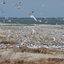
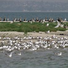
    The colony of Thalasseus sandvicensis on the terminus of the Bilosaraiska Spit
    Larus genei settle near Thalasseus sandvicensis.
    Larus genei settle near Thalasseus sandvicensis.
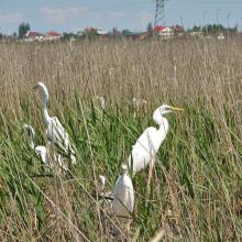
    At the colony of Ardea alba.
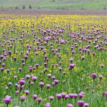
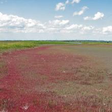
    Halophytic meadows with Rhaponticum serratuloides.
    Psammophyte-steppe area with Iris pumila.
    Shallow saline lakes attract the birds due to their security and food availability.
    In summer, almost all saline shallow lakes are dried-up.

    Bilosaraiska Bay and Bilosaraiska Spit

    • Country: 
      Ukraine
    • Designation date: 
      28-02-1997
    • Site number: 
      773
    • Published since: 
      1 year(s)
    11,281 ha
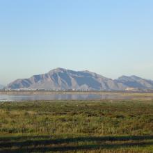
  10. El Hondo. Embalse de Poniente- Charca sur; al fondo Sierra de Callosa del Segura
    El Hondo. Embalse de Levante; al fondo Sierra de Callosa del Segura
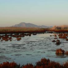
    El Hondo. Saladar adyacente al Embalse de Levante
    El Hondo. Panorámica de la Finca del Rincón
    El Hondo. Canal Principal de Riegos de Levante
    El Hondo. Panorámica del Embalse de Levante
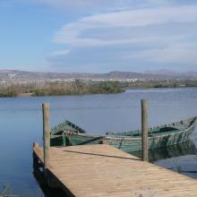
    El Hondo. Embarcadero
    El Hondo. Saladar de La Reserva
    El Hondo. Charca Norte

    El Hondo

    • Country: 
      Spain
    • Designation date: 
      05-12-1989
    • Site number: 
      455
    • Published since: 
      3 year(s)
    2,387 ha

Pages

Stats


Exports

Export Sites information

For a summary list of all the Ramsar Sites in pdf format, click here.

Generate reports of selected Sites

You can generate a report based on the filters you have applied, in either pdf or xls format. The report will sort the results by the Site name, unless you have sorted them by another variable.

For the pdfs, you can choose whether to include the introductory text on each Site, or just show the key data in a shorter report.

To receive a report, please provide your email address and enter the text in the verification picture into the textbox.

As soon as the list has been generated an e-mail will be sent to you with the link to access the file.