Search results
Search found 9 Ramsar Sites covering 814,652 ha
- (-) Remove Statutory designation taxonomy: Global international legal and other formal filter Statutory designation taxonomy: Global international legal and other formal
- (-) Remove Region/country: Asia filter Region/country: Asia
- (-) Remove Region/country: North America filter Region/country: North America
- (-) Remove Statutory designation taxonomy: Overlapping site categories filter Statutory designation taxonomy: Overlapping site categories
- (-) Remove Threats: Transportation and service corridors filter Threats: Transportation and service corridors
- (-) Remove Threats: Shipping lanes filter Threats: Shipping lanes
Map
Materials presented on this website, particularly maps and territorial information, are as-is and as-available based on available data and do not imply the expression of any opinion whatsoever on the part of the Secretariat of the Ramsar Convention concerning the legal status of any country, territory, city or area, or of its authorities, or concerning the delimitation of its frontiers or boundaries.
List
-

San Francisco Bay/Estuary (SFBE)
-
Country:United States of America
-
Designation date:02-02-2013
-
Site number:2097
-
Published since:11 year(s)
158,711 ha -
-

Reserva de la Biosfera Pantanos de Centla
-
Country:Mexico
-
Designation date:22-06-1995
-
Site number:733
-
Published since:23 year(s)
302,706 ha -
-


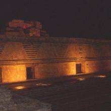
Reserva de la Biosfera Ría Celestún
-
Country:Mexico
-
Designation date:02-02-2004
-
Site number:1333
-
Published since:20 year(s)
81,482 ha -
-

Long Point
-
Country:Canada
-
Designation date:24-05-1982
-
Site number:237
-
Published since:23 year(s)
13,730 ha -
-

Tubbataha Reefs Natural Park
-
Country:Philippines
-
Designation date:12-11-1999
-
Site number:1010
-
Published since:14 year(s)
96,828 ha -
-

Khuran Straits
-
Country:Iran (Islamic Republic of)
-
Designation date:23-06-1975
-
Site number:50
-
Published since:27 year(s)
100,000 ha -
-
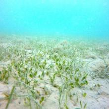
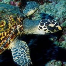
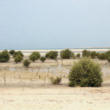
Jabal Ali Wetland Sanctuary
-
Country:United Arab Emirates
-
Designation date:25-10-2018
-
Site number:2364
-
Published since:5 year(s)
2,002 ha -
-
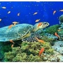
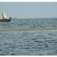
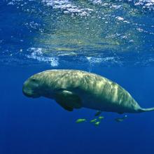

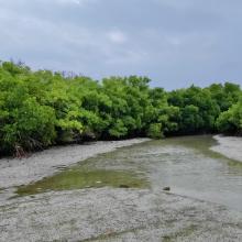
Gulf of Mannar Marine Biosphere Reserve
-
Country:India
-
Designation date:08-04-2022
-
Site number:2472
-
Published since:1 year(s)
52,672 ha -
-
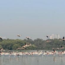
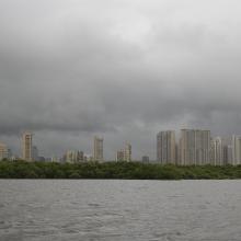
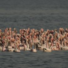
Thane Creek
-
Country:India
-
Designation date:13-04-2022
-
Site number:2490
-
Published since:1 year(s)
6,521 ha -


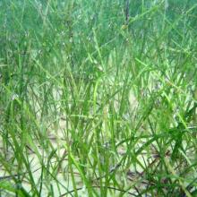
![Caulerpa sp. [cf noodle seagrass (Syringodium isoetifolium)] Caulerpa sp. [cf noodle seagrass (Syringodium isoetifolium)]](https://rsistest.ramsar.org/sites/default/files/styles/risv_medium/public/RISapp/files/35663068/pictures/Caulerpa%20sp.%20%5Bcf%20noodle%20seagrass%20%28Syringodium%20isoetifolium%29%5D.JPG?itok=mha42UJr)
