Search results

Map

Choose map: | | Download Centroids / Boundaries / Map (pdf)
Materials presented on this website, particularly maps and territorial information, are as-is and as-available based on available data and do not imply the expression of any opinion whatsoever on the part of the Secretariat of the Ramsar Convention concerning the legal status of any country, territory, city or area, or of its authorities, or concerning the delimitation of its frontiers or boundaries.

List

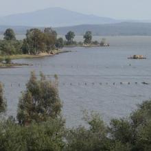
  1. Lac Oubeira
    Lac Oubeira
    Lac Oubeira

    Réserve Intégrale du Lac Oubeïra

    • Country: 
      Algeria
    • Designation date: 
      04-11-1983
    • Site number: 
      280
    • Published since: 
      6 year(s)
    2,200 ha
  2. Ghodaghodi Lake Area

    • Country: 
      Nepal
    • Designation date: 
      13-08-2003
    • Site number: 
      1314
    • Published since: 
      20 year(s)
    2,563 ha
  3. Ramsar logo

    Parque Nacional Manglares del Bajo Yuna

    • Country: 
      Dominican Republic
    • Designation date: 
      02-02-2013
    • Site number: 
      2091
    • Published since: 
      11 year(s)
    77,519 ha
  4. Ramsar logo

    Laguna de Atotonilco

    • Country: 
      Mexico
    • Designation date: 
      18-03-2006
    • Site number: 
      1607
    • Published since: 
      18 year(s)
    2,850 ha
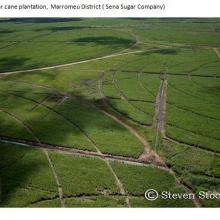
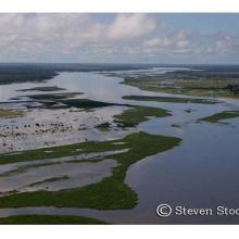
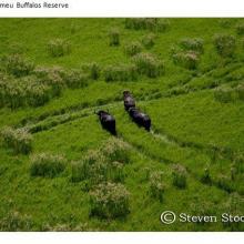
  5. Marromeu
    Marromeu
    Zambezi
    Marromeu
    Zambezi
    Marromeu
    Zambezi
    Zambezi

    Zambezi Delta

    • Country: 
      Mozambique
    • Designation date: 
      03-08-2004
    • Site number: 
      1391
    • Published since: 
      8 year(s)
    3,171,172 ha
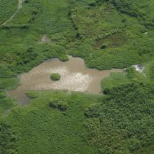
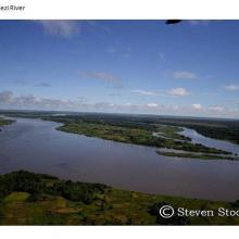
  6. Skyview of Lake
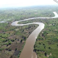
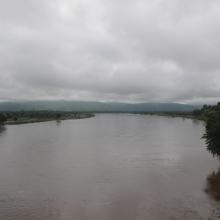
    Skyview of River
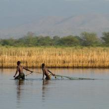
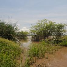
    Fishers backwater in northern marsh
    Main channel in northern marsh
    Edge vegetation
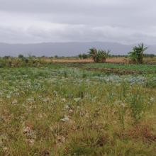
    Agriculture land western marsh
    Open water area and fish landing site

    Elephant Marsh

    • Country: 
      Malawi
    • Designation date: 
      01-07-2017
    • Site number: 
      2308
    • Published since: 
      6 year(s)
    61,556 ha
  7. Ramsar logo

    Complexe du bas Loukkos

    • Country: 
      Morocco
    • Designation date: 
      15-01-2005
    • Site number: 
      1475
    • Published since: 
      19 year(s)
    3,600 ha
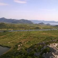
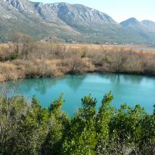
  8. Blace Bay - Salicornia europea
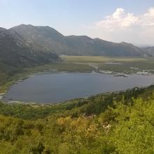
    Kuti Lake
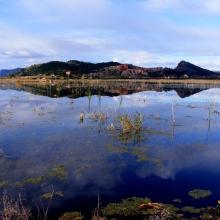
    Delta Neretva
    Baćinska Lakes
    Desne Lake
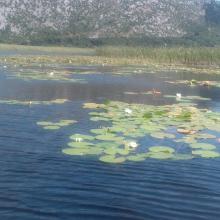
    Modro oko Lake
    Delta Neretva, Sea
    Delta Neretva
    Parila Lagoon
    Delta Neretva
    Delta Neretva
    Laeflet -  preserve wetland habitats from fire in the Neretva River Delta
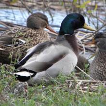
    Anas platyrhynchos
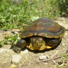
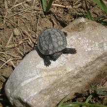
    Emys orbicularis
    Mauremys rivulata
    Nymphaea alba L.
    Egretta garzetta
    Egretta alba
    Numenius arquata
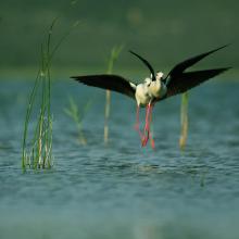
    Himantopus himantopus
    Panurus biarmicus

    Neretva River Delta

    • Country: 
      Croatia
    • Designation date: 
      02-11-1992
    • Site number: 
      585
    • Published since: 
      4 year(s)
    12,742 ha
  9. Marjal de Almenara. Panorámica de las lagunas someras
    Marjal de Almenara. Panorámica general
    Marjal de Almenara. Panorámica de estany
    Marjal de Almenara. Panorámica con aves
    Marjal de Almenara. Antiguos arrozales recuperados
    Marjal de Almenara. Cordón litoral de cantos y saladar
    Marjal de Almenara. Detalle de surgencia de agua subterránea en rocas kársticas (ullal)
    Marjal de Almenara. Detalle de surgencia de agua subterránea en rocas kársticas (ullal)
    Marjal de Almenara. Detalle de estany con Ceratophyllums demersum
    Marjal de Almenara. Tareas de muestreo efectuado por voluntarios (programa de seguimiento de calidad de aguas, Generalitat Valenciana)

    Marjal de Almenara

    • Country: 
      Spain
    • Designation date: 
      17-11-2017
    • Site number: 
      2338
    • Published since: 
      3 year(s)
    1,474 ha
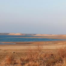
  10. Tudakul reservoir
    Kuymazar reservoir
    Kuymazar  reservoir
    Kuymazar  reservoir
    Vegetation on the shore of the Tudakul reservoir

    Tudakul and Kuymazar Water Reservoirs

    • Country: 
      Uzbekistan
    • Designation date: 
      19-08-2020
    • Site number: 
      2433
    • Published since: 
      3 year(s)
    32,000 ha

Stats


Exports

Export Sites information

For a summary list of all the Ramsar Sites in pdf format, click here.

Generate reports of selected Sites

You can generate a report based on the filters you have applied, in either pdf or xls format. The report will sort the results by the Site name, unless you have sorted them by another variable.

For the pdfs, you can choose whether to include the introductory text on each Site, or just show the key data in a shorter report.

To receive a report, please provide your email address and enter the text in the verification picture into the textbox.

As soon as the list has been generated an e-mail will be sent to you with the link to access the file.