Search results

Map

Choose map: | | Download Centroids / Boundaries / Map (pdf)
Materials presented on this website, particularly maps and territorial information, are as-is and as-available based on available data and do not imply the expression of any opinion whatsoever on the part of the Secretariat of the Ramsar Convention concerning the legal status of any country, territory, city or area, or of its authorities, or concerning the delimitation of its frontiers or boundaries.

List

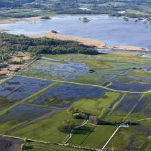
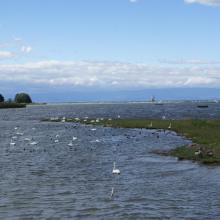
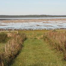
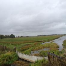
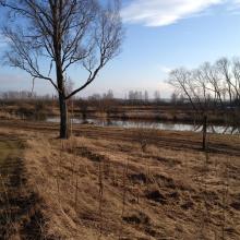
  1. View of the area Oset and part of Rynningeviken.
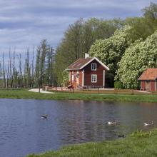
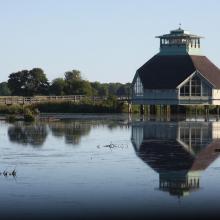
    Erik Rosenberg´s cottage, at Oset.

    Oset-Rynningeviken

    • Country: 
      Sweden
    • Designation date: 
      29-01-2015
    • Site number: 
      2265
    • Published since: 
      7 year(s)
    646 ha
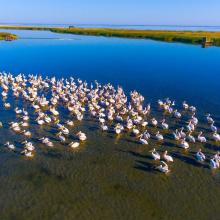
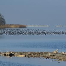
  2. Birds in the estuaries
    Birds in the estuaries
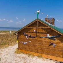
    Burnas
    Eco-educational center
    Birds in the estuaries
    Birds in the estuaries
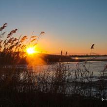
    Tuzly Limans. Autumn
    Birds in the estuaries
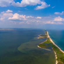
    A sand spit of Tuzlivski Limans

    Shagany-Alibei-Burnas Lakes System

    • Country: 
      Ukraine
    • Designation date: 
      28-02-1997
    • Site number: 
      763
    • Published since: 
      1 year(s)
    27,600 ha
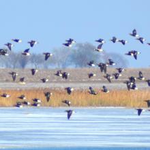
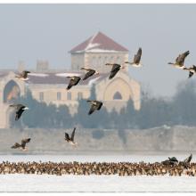
  3. Tens of thousands of geese and thousands of ducks roost on Lake Öreg, in front of the baroque style Castle of Tata during the migration period

    Lakes by Tata

    • Country: 
      Hungary
    • Designation date: 
      17-03-1989
    • Site number: 
      419
    • Published since: 
      7 year(s)
    1,897 ha
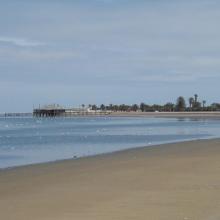
  4. The new sewage settling ponds in the dunes to the east of Walvis Bay (not part of the Ramsar site).
    Counting birds at the new sewage settling ponds.
    Flamingos and other waders at the new sewage settling ponds with the town of Walvis Bay in the background.
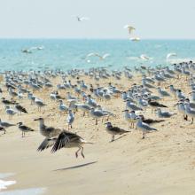
    Flamingos and waders in the Walvis Bay lagoon.
    The Walvis Bay salt works are within the Ramsar site.
     "Bird Paradise" sewage settling ponds (not part of the Ramsar site).  These have since been drained because of an alleged mosquito problem.
    View across the Walvis Bay lagoon, looking west.

    Walvis Bay

    • Country: 
      Namibia
    • Designation date: 
      23-08-1995
    • Site number: 
      742
    • Published since: 
      28 year(s)
    12,600 ha
  5. Marshes in Asköviken-Tidö nature reserve
    View from Söderfjärden nature reserve

    Asköviken-Sörfjärden

    • Country: 
      Sweden
    • Designation date: 
      19-11-2001
    • Site number: 
      1114
    • Published since: 
      7 year(s)
    12,251 ha
  6. Hornborgasjön
    Visitor centre naturum Hornborgasjön
    Bidens radiata
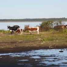
    Grazing cattle

    Hornborgasjön

    • Country: 
      Sweden
    • Designation date: 
      05-12-1974
    • Site number: 
      22
    • Published since: 
      7 year(s)
    6,197 ha
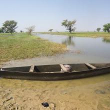
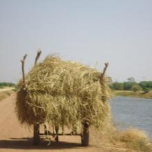
  7. Photo 1 : Plan d'eau de la vallée du Sourou
    Photo 2 : Engin de pêche aux abords du plan d'eau
    Photo 3 : Station de pompage d'eau pour le périmètre irrigué (2245 ha) aménagé dans le cadre du Millenium Challenge Account (MCA)
    Photo 4 : Un pêcheur en pleine prise de poisson
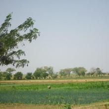
    Photo 7 : Étendue de spéculations maraîchères  dans le périmètre aménagé   dans le cadre du MCA
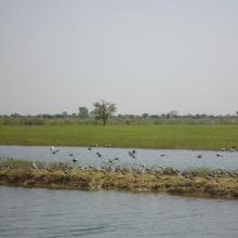
    Photo 6 : Richesse ornithologique du site de la vallée du Sourou
    Photo 5 : Récolte de la paille sur le site de la vallée du Sourou
    Photo 8 : Pêcheur solitaire sur  la rive droite de la vallée du Sourou
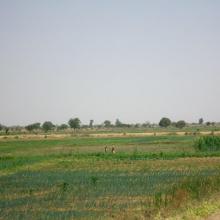
    Photo 9 : Étendue du périmètre aménagé

    La Vallée du Sourou

    • Country: 
      Burkina Faso
    • Designation date: 
      07-10-2009
    • Site number: 
      1885
    • Published since: 
      6 year(s)
    21,157 ha
  8. Banc de sable
    Morillions
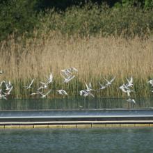
    Radeau avec sternes
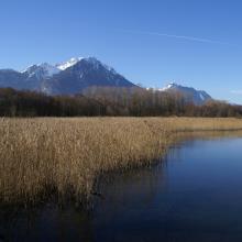
    Roselière et lac Savies

    Les Grangettes

    • Country: 
      Switzerland
    • Designation date: 
      09-11-1990
    • Site number: 
      504
    • Published since: 
      5 year(s)
    6,342 ha
  9. Kugurlui Lake
    Larus ridibundus on the nest
    Lake Kugurlui in the point of its connection with Lake Kartal
    Lake Kugurlui in the point of its connection with Lake Kartal
    Ardeola ralloides
    Cygnus olor

    Kugurlui Lake

    • Country: 
      Ukraine
    • Designation date: 
      28-02-1997
    • Site number: 
      760
    • Published since: 
      1 year(s)
    13,493 ha
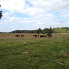
  10. Hammarmaden in the nature reserve Kvismaren.
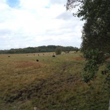
    Sörby pasture nearby east Kvismarern.
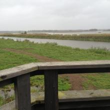
    View from Öby hill towards Kvismare channel.
    East part of Kvismaren.
    Platform at the north side of Lake Fågelsjön.
    Fiskinge, Kvismaren.
    Fiskingemaden, Kvismaren.
    Rysjön, west part of Kvismaren.

    Kvismaren

    • Country: 
      Sweden
    • Designation date: 
      05-12-1974
    • Site number: 
      24
    • Published since: 
      7 year(s)
    837 ha

Pages

Stats


Exports

Export Sites information

For a summary list of all the Ramsar Sites in pdf format, click here.

Generate reports of selected Sites

You can generate a report based on the filters you have applied, in either pdf or xls format. The report will sort the results by the Site name, unless you have sorted them by another variable.

For the pdfs, you can choose whether to include the introductory text on each Site, or just show the key data in a shorter report.

To receive a report, please provide your email address and enter the text in the verification picture into the textbox.

As soon as the list has been generated an e-mail will be sent to you with the link to access the file.