Search results

Map

Choose map: | | Download Centroids / Boundaries / Map (pdf)
Materials presented on this website, particularly maps and territorial information, are as-is and as-available based on available data and do not imply the expression of any opinion whatsoever on the part of the Secretariat of the Ramsar Convention concerning the legal status of any country, territory, city or area, or of its authorities, or concerning the delimitation of its frontiers or boundaries.

List

  1. Instituto Chico Mendes de Conservação da Biodiversidade

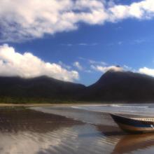
    Environmental Protection Area of Cananéia-Iguape-Peruíbe

    • Country: 
      Brazil
    • Designation date: 
      04-09-2017
    • Site number: 
      2310
    • Published since: 
      6 year(s)
    202,307 ha
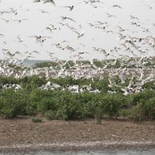
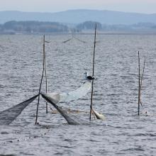
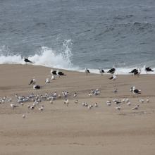
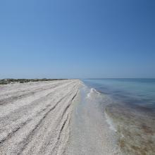
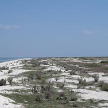
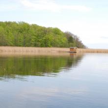
  2. Colony of Ichthyaetus melanocephalus
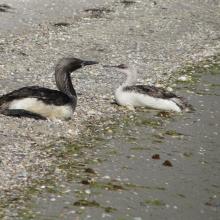
    Gavia
    Tendrivska split
    Tendrivska split

    Tendrivska Bay

    • Country: 
      Ukraine
    • Designation date: 
      28-02-1997
    • Site number: 
      768
    • Published since: 
      1 year(s)
    55,022 ha
  3. American Flamingos (Phoenicopterus ruber) congregating in shallow areas of the lagoon in Ría Celestún, one of their main resting and feeding habitats in the Yucatan Peninsula. Boats approach the flamingos to a certain extent in order not to scare them away.
    A colony of Magnificent frigatebirds Fregata magnificens on the red mangrove forests (Rhizophora mangle).
    Inside the Red Mangrove Forests. The lagoon itself acquires the red colors given by the mangrove tannins.
    An island of high rise forests (Peten) amidst the mangrove, due to the presence of a freshwater spring typically called "ojo de agua".
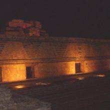
    The light show in the ruins of Uxmal, where Mayan legends were narrated praying for rain.

    Reserva de la Biosfera Ría Celestún

    • Country: 
      Mexico
    • Designation date: 
      02-02-2004
    • Site number: 
      1333
    • Published since: 
      20 year(s)
    81,482 ha
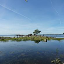
  4. Torhamns udde nature reserve, in the eastern part of the site (Torhamns skärgård).
    Bräkne Hoby skärgård, in the western part of the site.
    Tromtö nature reserve, in the middle part of the site (Listerby skärgård).

    Blekinge skärgård

    • Country: 
      Sweden
    • Designation date: 
      14-11-2001
    • Site number: 
      1115
    • Published since: 
      7 year(s)
    12,958 ha
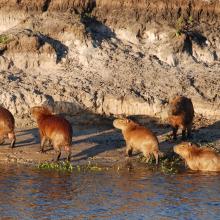
  5. Capybaras
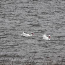
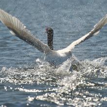
    Swan
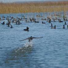
    American coot

    Taim Ecological Station

    • Country: 
      Brazil
    • Designation date: 
      22-03-2017
    • Site number: 
      2298
    • Published since: 
      6 year(s)
    10,939 ha
  6. Aerial view of the Parado Lagoon, Guaratuba Environmental Protection Area, Paraná state, Brazil. Photo: Roberto Bóçon.

    Guaratuba

    • Country: 
      Brazil
    • Designation date: 
      21-09-2017
    • Site number: 
      2317
    • Published since: 
      6 year(s)
    38,329 ha
  7. Laguna de Rocha (Stefano Barchiesi)
    Laguna de Rocha (Stefano Barchiesi)
    Laguna de Rocha (Stefano Barchiesi)
    Laguna de Rocha (Stefano Barchiesi)
    Laguna de Rocha (Stefano Barchiesi)
    Laguna de Rocha (Stefano Barchiesi)
    Laguna de Rocha (Stefano Barchiesi)

    Laguna de Rocha

    • Country: 
      Uruguay
    • Designation date: 
      05-06-2015
    • Site number: 
      2236
    • Published since: 
      8 year(s)
    10,933 ha
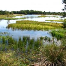
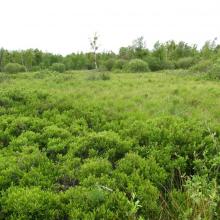
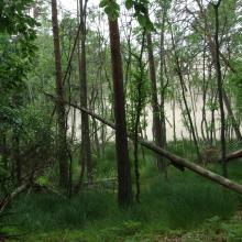
  8. Peatbog buried by dune
    Bulrush in Gardno Lake
    Alder forest
    Sea coastal waters
    Peatbog
    Gardno Lake
    Gardno Lake
    Sea coastal waters
    Peatbog buried by dune
    Peatbog
    Peatbog
    Wet forest
    bog woodland
    Vaccinio uliginosi-Betuletum pubescentis
    Peatland regenerating after peat extraction
    Peatland regenerating after peat extraction
    Salt marshes
    Sea coastal waters
    Peatbog Krakulice
    Peatbog Krakulice
    Shrubs with bog-myrtle
    Alder forest buried by dune

    Słowiński National Park

    • Country: 
      Poland
    • Designation date: 
      24-10-1995
    • Site number: 
      757
    • Published since: 
      5 year(s)
    32,744 ha
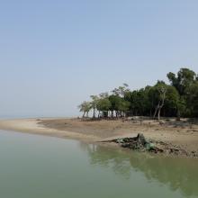
  9. Mangrove Forest
    Sundarban Wetland

    Sundarban Wetland

    • Country: 
      India
    • Designation date: 
      30-01-2019
    • Site number: 
      2370
    • Published since: 
      5 year(s)
    423,000 ha
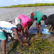
  10. Tri des propagules de Rhizophara mangle
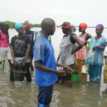
    Séance de formation et de sensibilisation sur la technique de reboisement
    Sortie pédagogique des élèves du Lycée de Palmarin Facao et les amas coquilliers dans la RNCP
    Lutte contre l'érosion côtière avec la participation des communautés
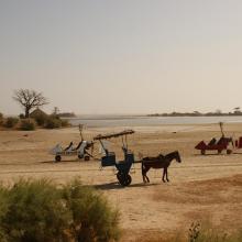
    Potentialités et opportunités ecotouristiques de la RNCP
    Biens tirés de la RNCP
    Biens fournis par la RNCP
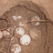
    Suivi des nids de tortues marines dans la RNCP
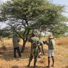
    Inventaire de la flore de la RNCP effectué par les agents et les écoguides écogardes
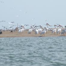
    Diversité aviaire de la RNCP
    L'exploitation du sel, une activité bien féminine
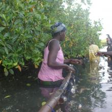
    L'ostréiculture une activité génératrice de revenus et conservatrice de la mangrove
    La pose des guirlandes ostréicoles, l'apanage des femmes.
    Palmarin, un paysage bien humide

    Réserve Naturelle Communautaire de Palmarin

    • Country: 
      Senegal
    • Designation date: 
      01-09-2017
    • Site number: 
      2328
    • Published since: 
      6 year(s)
    10,430 ha

Pages

Stats


Exports

Export Sites information

For a summary list of all the Ramsar Sites in pdf format, click here.

Generate reports of selected Sites

You can generate a report based on the filters you have applied, in either pdf or xls format. The report will sort the results by the Site name, unless you have sorted them by another variable.

For the pdfs, you can choose whether to include the introductory text on each Site, or just show the key data in a shorter report.

To receive a report, please provide your email address and enter the text in the verification picture into the textbox.

As soon as the list has been generated an e-mail will be sent to you with the link to access the file.