Search results

Map

Choose map: | | Download Centroids / Boundaries / Map (pdf)
Materials presented on this website, particularly maps and territorial information, are as-is and as-available based on available data and do not imply the expression of any opinion whatsoever on the part of the Secretariat of the Ramsar Convention concerning the legal status of any country, territory, city or area, or of its authorities, or concerning the delimitation of its frontiers or boundaries.

List

  1. Zones humides, forêts, Rivières et ressources du site

    Ngiri-Tumba-Maindombe

    • Country: 
      Democratic Republic of the Congo
    • Designation date: 
      24-07-2008
    • Site number: 
      1784
    • Published since: 
      6 year(s)
    6,569,624 ha
  2. Ramsar logo

    The Coorong, Lake Alexandrina & Albert Wetland

    • Country: 
      Australia
    • Designation date: 
      11-01-1985
    • Site number: 
      321
    • Published since: 
      11 year(s)
    142,530 ha
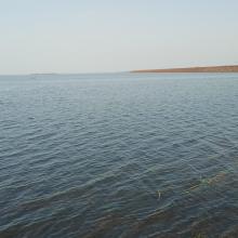
  3. Vue du plan d’eau du barrage
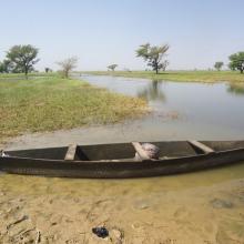
    Piroguiers dans le lac du barrage
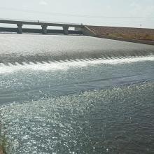
    Digue du barrage
    Zone inondée
    Vue de la zone humide
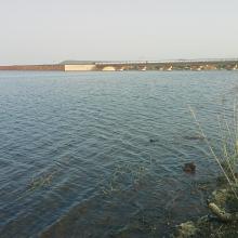
    Vue de la cuvette du barrage

    Barrage de Samandéni

    • Country: 
      Burkina Faso
    • Designation date: 
      27-10-2020
    • Site number: 
      2439
    • Published since: 
      3 year(s)
    68,202 ha
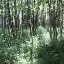
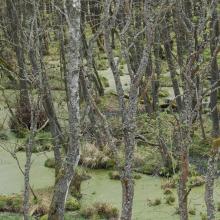
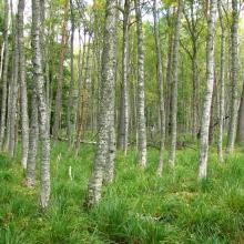
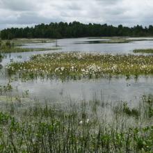
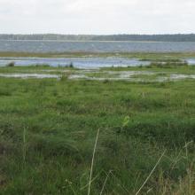
  4. Ławki Marsh
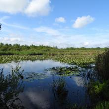
    oxbow
    Łoje-Awissa
    Ławki Marsh
    Ławki Marsh
    alder forest
    Biebrza River Valley
    Ławki Marsh

    Biebrzański National Park

    • Country: 
      Poland
    • Designation date: 
      24-10-1995
    • Site number: 
      756
    • Published since: 
      5 year(s)
    59,233 ha
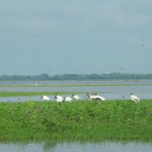
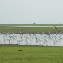
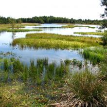
  5. Ciénaga de Ayapel
    Ciénaga de Ayapel El Roble
    Aves acuáticas Ciénaga de Ayapel
    Aves en charca Ciénaga de Ayapel
    Ciénaga de Ayapel
    Pato yuyo Ciénaga de Ayapel

    Complejo Cenagoso de Ayapel

    • Country: 
      Colombia
    • Designation date: 
      23-06-2020
    • Site number: 
      2499
    • Published since: 
      1 year(s)
    54,377 ha
  6. Peatbog buried by dune
    Bulrush in Gardno Lake
    Alder forest
    Sea coastal waters
    Peatbog
    Gardno Lake
    Gardno Lake
    Sea coastal waters
    Peatbog buried by dune
    Peatbog
    Peatbog
    Wet forest
    bog woodland
    Vaccinio uliginosi-Betuletum pubescentis
    Peatland regenerating after peat extraction
    Peatland regenerating after peat extraction
    Salt marshes
    Sea coastal waters
    Peatbog Krakulice
    Peatbog Krakulice
    Shrubs with bog-myrtle
    Alder forest buried by dune

    Słowiński National Park

    • Country: 
      Poland
    • Designation date: 
      24-10-1995
    • Site number: 
      757
    • Published since: 
      5 year(s)
    32,744 ha
  7. Grus nigricollis
    Permanent freshwater marshes
    Permanent rivers
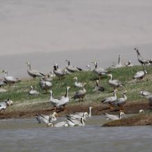
    Anser indicus

    Gansu Yanchiwan Wetlands

    • Country: 
      China
    • Designation date: 
      08-01-2018
    • Site number: 
      2347
    • Published since: 
      5 year(s)
    29,876 ha
  8. Vue aérienne de la Scarpe et de la tourbière de Vred
    Tourbière de Marchiennes
    Mare à Goriaux
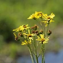
    Sénecio paludosus
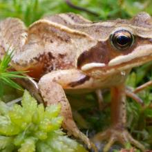
    Grenouille des champs, Rana arvalis

    Vallées de la Scarpe et de l'Escaut

    • Country: 
      France
    • Designation date: 
      02-02-2020
    • Site number: 
      2405
    • Published since: 
      4 year(s)
    27,622 ha
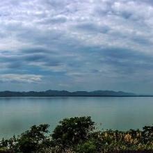
  9. Photo 1 : Plan d'eau de la vallée du Sourou
    Photo 2 : Engin de pêche aux abords du plan d'eau
    Photo 3 : Station de pompage d'eau pour le périmètre irrigué (2245 ha) aménagé dans le cadre du Millenium Challenge Account (MCA)
    Photo 4 : Un pêcheur en pleine prise de poisson
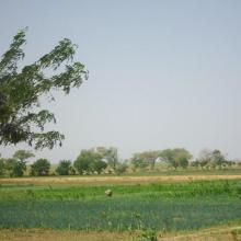
    Photo 7 : Étendue de spéculations maraîchères  dans le périmètre aménagé   dans le cadre du MCA
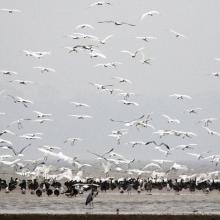
    Photo 6 : Richesse ornithologique du site de la vallée du Sourou
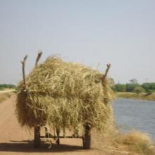
    Photo 5 : Récolte de la paille sur le site de la vallée du Sourou
    Photo 8 : Pêcheur solitaire sur  la rive droite de la vallée du Sourou
    Photo 9 : Étendue du périmètre aménagé

    La Vallée du Sourou

    • Country: 
      Burkina Faso
    • Designation date: 
      07-10-2009
    • Site number: 
      1885
    • Published since: 
      6 year(s)
    21,157 ha
  10. The evening scene of Wanghu
    Fuhe River eocosystem
    Summer scenery of Wanghu
    Habitat of  Wuzhuazui

    Hubei Wang Lake

    • Country: 
      China
    • Designation date: 
      08-01-2018
    • Site number: 
      2349
    • Published since: 
      5 year(s)
    20,495 ha

Pages

Stats


Exports

Export Sites information

For a summary list of all the Ramsar Sites in pdf format, click here.

Generate reports of selected Sites

You can generate a report based on the filters you have applied, in either pdf or xls format. The report will sort the results by the Site name, unless you have sorted them by another variable.

For the pdfs, you can choose whether to include the introductory text on each Site, or just show the key data in a shorter report.

To receive a report, please provide your email address and enter the text in the verification picture into the textbox.

As soon as the list has been generated an e-mail will be sent to you with the link to access the file.