Search results

Map

Choose map: | | Download Centroids / Boundaries / Map (pdf)
Materials presented on this website, particularly maps and territorial information, are as-is and as-available based on available data and do not imply the expression of any opinion whatsoever on the part of the Secretariat of the Ramsar Convention concerning the legal status of any country, territory, city or area, or of its authorities, or concerning the delimitation of its frontiers or boundaries.

List

  1. Entrée du petit lagon.
    îlot karstique du grand lagon.
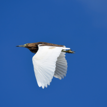
    Crabier blanc (ardeola idae).
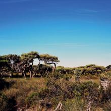
    Euphorbaie.
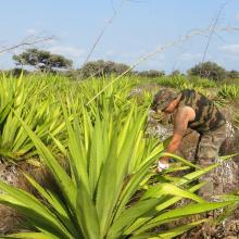
    Lutte contre le choca (Furcraea foetida), une espèce végétale exotique envahissante.
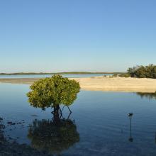
    Lutjanus fulvus et Lutjanus ehrenbergii dans un bras de mangrove
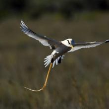
    Phaéton à bec jaune (Phaethon lepturus).
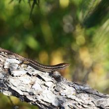
    Scinque aux labiales tachetées (Trachylepis maculilabris).

    Île Europa

    • Country: 
      France (outre-mer)
    • Designation date: 
      27-10-2011
    • Site number: 
      2073
    • Published since: 
      1 year(s)
    214,872 ha
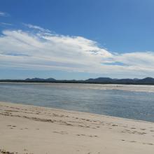
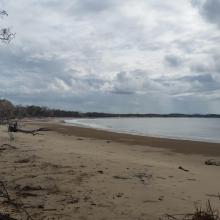
  2. Corio Bay
    Shoalwater

    Shoalwater and Corio Bays Area

    • Country: 
      Australia
    • Designation date: 
      01-03-1996
    • Site number: 
      792
    • Published since: 
      5 year(s)
    202,023 ha
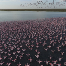
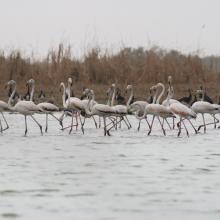
  3. American Flamingos (Phoenicopterus ruber) congregating in shallow areas of the lagoon in Ría Celestún, one of their main resting and feeding habitats in the Yucatan Peninsula. Boats approach the flamingos to a certain extent in order not to scare them away.
    A colony of Magnificent frigatebirds Fregata magnificens on the red mangrove forests (Rhizophora mangle).
    Inside the Red Mangrove Forests. The lagoon itself acquires the red colors given by the mangrove tannins.
    An island of high rise forests (Peten) amidst the mangrove, due to the presence of a freshwater spring typically called "ojo de agua".
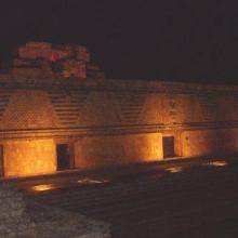
    The light show in the ruins of Uxmal, where Mayan legends were narrated praying for rain.

    Reserva de la Biosfera Ría Celestún

    • Country: 
      Mexico
    • Designation date: 
      02-02-2004
    • Site number: 
      1333
    • Published since: 
      20 year(s)
    81,482 ha
  4. lac khar
    grand lac (envol de flamants nains)
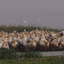
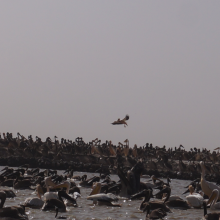
    pélicans en reproduction au djoudj
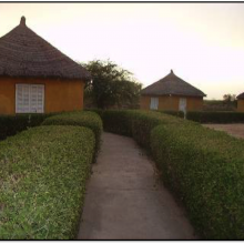
    campement écotouristique des communautés riveraines du parc
    crocodile du nil au bord du marigot du djoudj
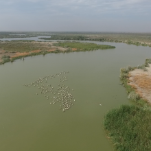
    flamants roses en vol au dessus de la rivière Gorom
    activité d'aménagement par les agents du parc (signalétique)
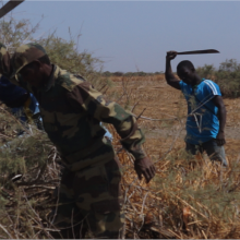
    activité d'amenagement d'un lac par les volontaires écogardes du parc
    héronnière de la zone du crocodile (zone nord du parc)
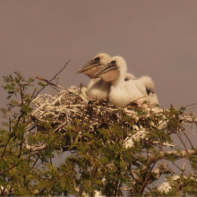
    poussins de pelicans gris (canal du crocodile)
    image du canal du crocodile
    nichoir des pélicans
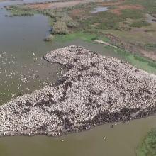
    vue aérienne du nichoir des pélicans
    python de Seba
    vue aérienne du marigot du djoudj

    Parc National des Oiseaux du Djoudj

    • Country: 
      Senegal
    • Designation date: 
      11-07-1977
    • Site number: 
      138
    • Published since: 
      7 year(s)
    16,000 ha
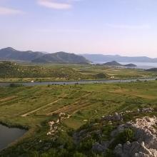
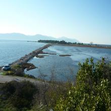
  5. Blace Bay - Salicornia europea
    Kuti Lake
    Delta Neretva
    Baćinska Lakes
    Desne Lake
    Modro oko Lake
    Delta Neretva, Sea
    Delta Neretva
    Parila Lagoon
    Delta Neretva
    Delta Neretva
    Laeflet -  preserve wetland habitats from fire in the Neretva River Delta
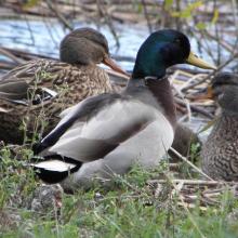
    Anas platyrhynchos
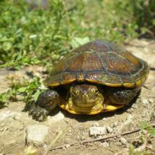
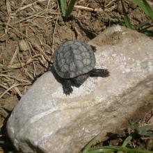
    Emys orbicularis
    Mauremys rivulata
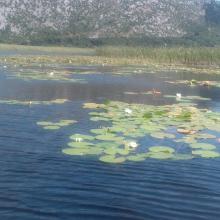
    Nymphaea alba L.
    Egretta garzetta
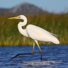
    Egretta alba
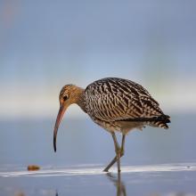
    Numenius arquata
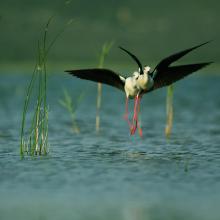
    Himantopus himantopus
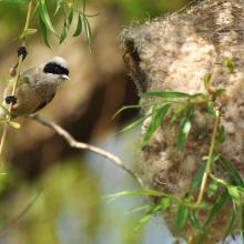
    Panurus biarmicus

    Neretva River Delta

    • Country: 
      Croatia
    • Designation date: 
      02-11-1992
    • Site number: 
      585
    • Published since: 
      4 year(s)
    12,742 ha
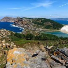
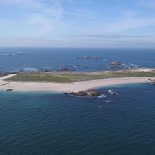
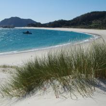
  6. Isla de Cíes. Playa con Amophila arenaria
    Isla de Cíes. Laguna costera
    Isla de Cíes. Percebes
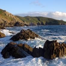
    Isla de Ons. Acantilados costeros
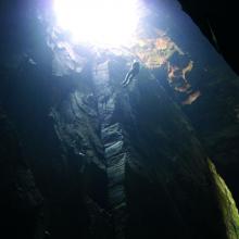
    Isla de Ons. Cuevas de Gavotos
    Isla de Ons. Cueva Burato do Inferno
    Isla de Ons. Camino con sauces
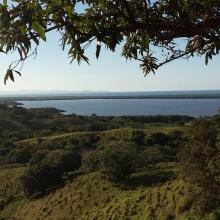
    Isla de Sálvora. Panorámica
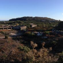
    Isla de Sálvora. Aldea
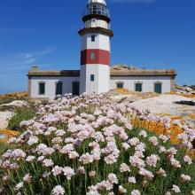
    Isla de Sálvora. Faro y Armeria en flor
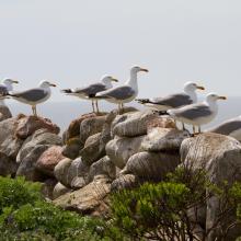
    Isla de Sálvora. Gaviotas patiamarillas
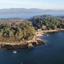
    Isla de Cortegada. Panorámica
    Isla de Cortegada. Bosque
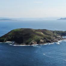
    Isla de Onza. Panorámica
    Isla de Vionta. Panorámica
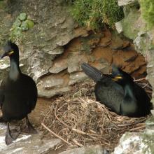
    Pareja de cormorán moñudo (PN Marítimo-Terrestre de las Islas Atlánticas de Galicia)
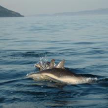
    Delphinus delphis (PN Marítimo-Terrestre de las Islas Atlánticas de Galicia)

    Parque Nacional Marítimo-Terrestre de las Islas Atlánticas de Galicia

    • Country: 
      Spain
    • Designation date: 
      22-05-2021
    • Site number: 
      2453
    • Published since: 
      2 year(s)
    8,543 ha
  7. Esta imagen es de Laguna Redonda, es una Laguna Costera
    Esta imagen muestra la Laguna Limón, es un humedal de agua dulce, que tiene conectividad con el Caño Celedonio
    Imagen de la laguna Limón
    La imagen es del Caño Celedonio.
    Imagen de la laguna Limón
    Esta imagen es de Laguna Redonda, es una Laguna Costera

    Refugio de Vida Silvestre Laguna Redonda y Limón (Los Humedales del Refugio de Vida Silvestre Laguna Redonda y Limón, Miches y Ria Maimón)

    • Country: 
      Dominican Republic
    • Designation date: 
      13-10-2022
    • Site number: 
      2498
    • Published since: 
      1 year(s)
    5,754 ha
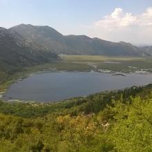
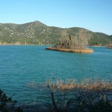
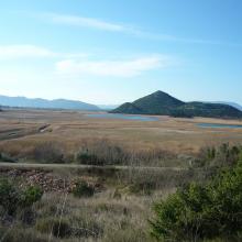
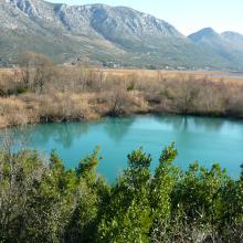
  8. Vransko Lake
    Vransko Lake
    Vransko Lake
    Vransko Lake
    Vransko Lake
    Vransko Lake
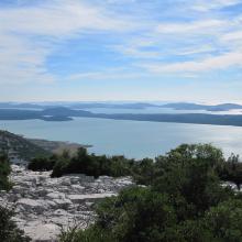
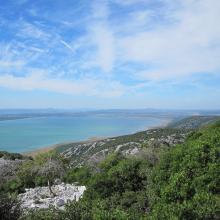
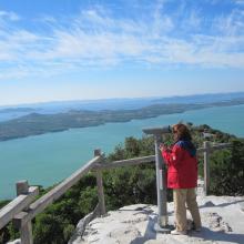
    Vransko Lake, viewpoint Kamenjak
    Vransko Lake, Ornithological reserve, educational trail
    Vransko Lake, Ornithological Reserve

    Vransko Lake

    • Country: 
      Croatia
    • Designation date: 
      02-02-2013
    • Site number: 
      2109
    • Published since: 
      4 year(s)
    5,748 ha
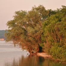
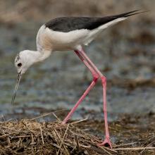
  9. Sim Maiakiv - Black-winged stilt
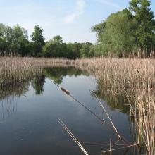
    Sim Maiakiv
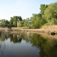
    Sim Maiakiv
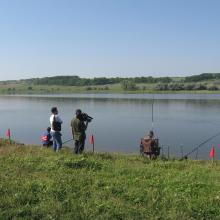
    Sim Maiakiv
    Sim Maiakiv
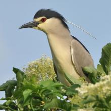
    Sim Maiakiv - Black-crowned Night Heron
    Sim Maiakiv
    Sim Maiakiv
    Sim Maiakiv
    Sim Maiakiv
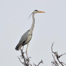
    Sim Maiakiv - Grey Heron
    Sim Maiakiv

    Sim Maiakiv Floodplain

    • Country: 
      Ukraine
    • Designation date: 
      24-12-2013
    • Site number: 
      2273
    • Published since: 
      7 year(s)
    2,140 ha
  10. Selva Baja Inundable
    Vista aérea de islas de Selva Baja inundable en temporada de secas, indispensables para los ciclos reproductivos de diferentes especies de fauna silvestre
    Arroyo hediondo es la única conexión por donde ingresa la marea y ingresan los manatís al complejo de pantanos
    Arroyo hediondo es la única conexión por donde ingresa la marea y ingresan los manatís al complejo de pantanos
    Visión parcial de una parvada de más de 11,000 pichichis (Dendrocygna autumnalis) observada en enero de 2005 descansando en los humedales de la Popotera durante su migración.
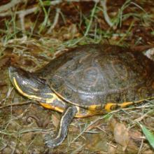
    La Tortuga Pinta (Trachemys venusta) es la especie que permanece mayor tiempo asoleándose sobre los pantanos y puede observarse fácilmente.
    La Tortuga Blanca (Dermatemys mawi) es la especie de tortuga dulceacuícola en mayor peligro de extinción en México, y estos humedales representan uno de sus últimos refugios en el estado de Veracruz.

    Humedales de la Laguna La Popotera

    • Country: 
      Mexico
    • Designation date: 
      05-06-2005
    • Site number: 
      1462
    • Published since: 
      18 year(s)
    1,975 ha

Stats


Exports

Export Sites information

For a summary list of all the Ramsar Sites in pdf format, click here.

Generate reports of selected Sites

You can generate a report based on the filters you have applied, in either pdf or xls format. The report will sort the results by the Site name, unless you have sorted them by another variable.

For the pdfs, you can choose whether to include the introductory text on each Site, or just show the key data in a shorter report.

To receive a report, please provide your email address and enter the text in the verification picture into the textbox.

As soon as the list has been generated an e-mail will be sent to you with the link to access the file.