Search results

Map

Choose map: | | Download Centroids / Boundaries / Map (pdf)
Materials presented on this website, particularly maps and territorial information, are as-is and as-available based on available data and do not imply the expression of any opinion whatsoever on the part of the Secretariat of the Ramsar Convention concerning the legal status of any country, territory, city or area, or of its authorities, or concerning the delimitation of its frontiers or boundaries.

List

  1. ICMBio
    ICMBio
    ICMBio
    Helder Lana
    ICMBio

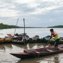
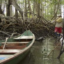
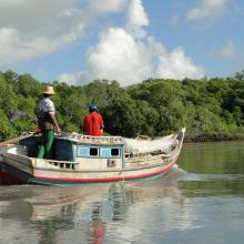
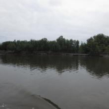
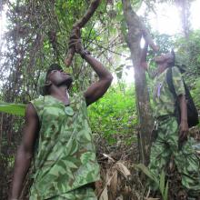
    Amazon Estuary and its Mangroves

    • Country: 
      Brazil
    • Designation date: 
      19-03-2018
    • Site number: 
      2337
    • Published since: 
      5 year(s)
    3,850,253 ha
  2. Anse du Gros Ventre - Péninsule Rallier du Batty - Kerguelen
    Est de la Péninsule Courbet - Kerguelen
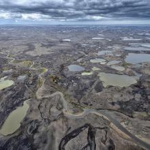
    Plateau des Tourbières - île Amsterdam
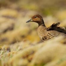
    Canard d'Eaton
    Albatros d'Amsterdam
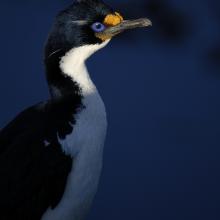
    Cormoran de Kerguelen
    Val Studer - îles Kerguelen

    Réserve naturelle nationale des Terres australes francaises

    • Country: 
      France (outre-mer)
    • Designation date: 
      15-09-2008
    • Site number: 
      1837
    • Published since: 
      5 year(s)
    2,337,100 ha
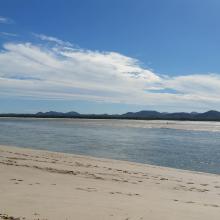
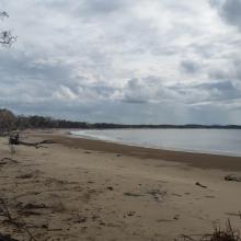
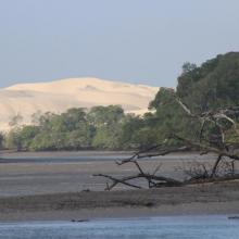
  3. Corio Bay
    Shoalwater

    Shoalwater and Corio Bays Area

    • Country: 
      Australia
    • Designation date: 
      01-03-1996
    • Site number: 
      792
    • Published since: 
      5 year(s)
    202,023 ha
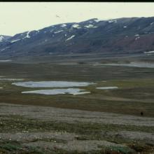
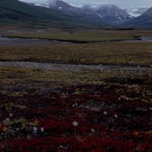
  4. Upper reaches of Ørsted Dal.
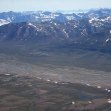
    Central part of Ørsted Dal, seen from south.
    Central part of Ørsted Dal
    Upper part of Ørsted Dal - Coloradodal

    Ørsted Dal, Pingel Dal and Enhjørningen Dal

    • Country: 
      Denmark (Greenland)
    • Designation date: 
      08-06-2011
    • Site number: 
      2021
    • Published since: 
      4 year(s)
    196,000 ha
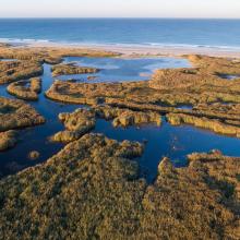
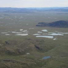
  5. Meandering rivers,ponds, lakes and marshes are typical for this site.
    Many lakes have silted water.
    Rocky hills on the raised seabed, where numerous ponds and lakes are found.
    The large central plain of the site.

    Naternaq

    • Country: 
      Denmark (Greenland)
    • Designation date: 
      27-01-1988
    • Site number: 
      385
    • Published since: 
      4 year(s)
    191,000 ha
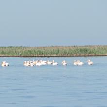
  6. Wite Pelicans near the island Dzharylgach
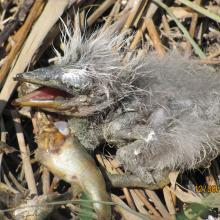
    Breakfast of the chicken of Gray Herons on the Cakinitsky islands
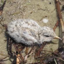
    The wet chicken of Sandwich Tern on the island  Dzharylgach
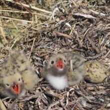
    Chicks of the Common Tern on the island Dzharylgach
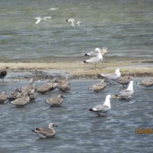
    Young Yellow-legged Gull on the Cakinitsky islands

    Karkinitska and Dzharylgatska Bays

    • Country: 
      Ukraine
    • Designation date: 
      11-10-1976
    • Site number: 
      114
    • Published since: 
      1 year(s)
    147,557 ha
  7. inséré le 27 juin 2016
    inséré le 27 juin 2016
    inséré le 27 juin 2016
    inséré le 27 juin 2016

    Parc National Akanda

    • Country: 
      Gabon
    • Designation date: 
      02-02-2007
    • Site number: 
      1652
    • Published since: 
      7 year(s)
    54,000 ha
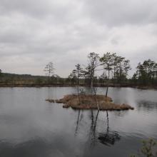
  8. Tolkuse Bog

    Luitemaa

    • Country: 
      Estonia
    • Designation date: 
      27-01-2010
    • Site number: 
      1962
    • Published since: 
      3 year(s)
    11,240 ha
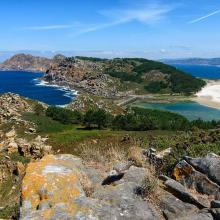
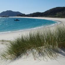
  9. Isla de Cíes. Playa con Amophila arenaria
    Isla de Cíes. Laguna costera
    Isla de Cíes. Percebes
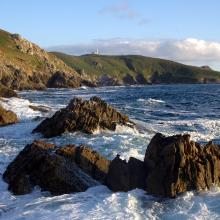
    Isla de Ons. Acantilados costeros
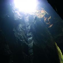
    Isla de Ons. Cuevas de Gavotos
    Isla de Ons. Cueva Burato do Inferno
    Isla de Ons. Camino con sauces
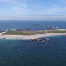
    Isla de Sálvora. Panorámica
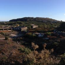
    Isla de Sálvora. Aldea
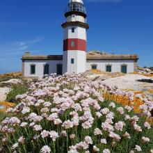
    Isla de Sálvora. Faro y Armeria en flor
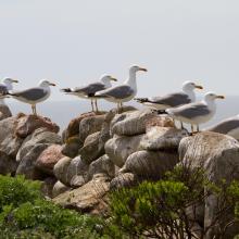
    Isla de Sálvora. Gaviotas patiamarillas
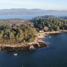
    Isla de Cortegada. Panorámica
    Isla de Cortegada. Bosque
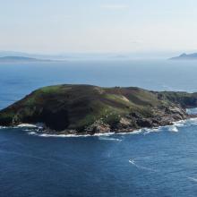
    Isla de Onza. Panorámica
    Isla de Vionta. Panorámica
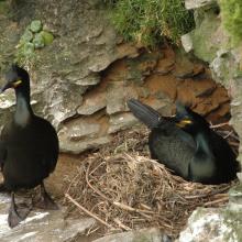
    Pareja de cormorán moñudo (PN Marítimo-Terrestre de las Islas Atlánticas de Galicia)
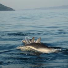
    Delphinus delphis (PN Marítimo-Terrestre de las Islas Atlánticas de Galicia)

    Parque Nacional Marítimo-Terrestre de las Islas Atlánticas de Galicia

    • Country: 
      Spain
    • Designation date: 
      22-05-2021
    • Site number: 
      2453
    • Published since: 
      2 year(s)
    8,543 ha
  10. Roselière de Trunvel
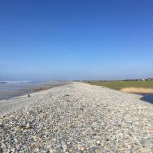
    Cordon de galets à Plovan "Ero vili"
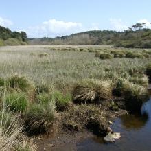
    Queue d'étang de Trunvel
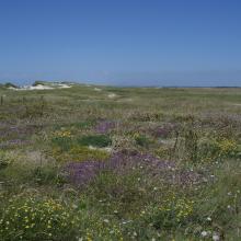
    Dune grise

    Baie d'Audierne

    • Country: 
      France
    • Designation date: 
      04-09-2021
    • Site number: 
      2460
    • Published since: 
      2 year(s)
    2,396 ha

Stats


Exports

Export Sites information

For a summary list of all the Ramsar Sites in pdf format, click here.

Generate reports of selected Sites

You can generate a report based on the filters you have applied, in either pdf or xls format. The report will sort the results by the Site name, unless you have sorted them by another variable.

For the pdfs, you can choose whether to include the introductory text on each Site, or just show the key data in a shorter report.

To receive a report, please provide your email address and enter the text in the verification picture into the textbox.

As soon as the list has been generated an e-mail will be sent to you with the link to access the file.