Search results

Map

Choose map: | | Download Centroids / Boundaries / Map (pdf)
Materials presented on this website, particularly maps and territorial information, are as-is and as-available based on available data and do not imply the expression of any opinion whatsoever on the part of the Secretariat of the Ramsar Convention concerning the legal status of any country, territory, city or area, or of its authorities, or concerning the delimitation of its frontiers or boundaries.

List

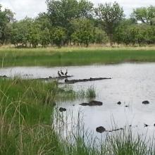
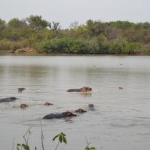
  1. Mare Sapiengou dans le Parc W : un des points d'abreuvement de la faune sauvage
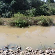
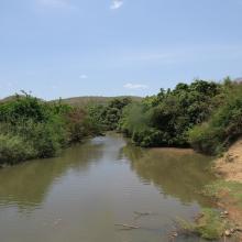
    Rivière Mékrou dans le triangle du Parc W

    Site Ramsar du Complexe W

    • Country: 
      Benin
    • Designation date: 
      02-02-2007
    • Site number: 
      1668
    • Published since: 
      5 year(s)
    926,927 ha
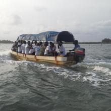
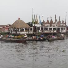
  2. Hotel Chez Raphael dans le village lacustre de Ganvie. Zone touristique dans le site Ramsar 1018
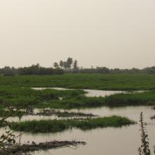
    Plaine inondable de la riviere So dans la Commune de So-Ava. Site d'accueil des oiseaux d'eau migrateurs
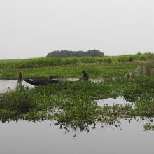
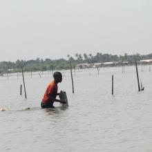
    Zone du Lac Nokoue investie par la Jacinthe d'eau. On peut noter aussi sur la photo l'installation des filets pour la capture des poissons

    Basse Vallée de l'Ouémé, Lagune de Porto-Novo, Lac Nokoué

    • Country: 
      Benin
    • Designation date: 
      24-01-2000
    • Site number: 
      1018
    • Published since: 
      4 year(s)
    652,760 ha
  3. Le lac Toho
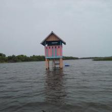
    Mirador sur la portion sacrée de la lagune côtière à Ahloboe dans la commune de Ouidah
    Cormoran sur les piquets d'Acadja sur le Lac Ahémé
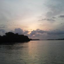
    Coucher du soleil sur la lagune côtière à Grand-Popo
    Lâcher de jeunes tortues marines à Grand-Popo
    Pêcheur sur le Lac Ahémé
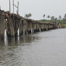
    Pont de fortune sur la lagune côtière dans la commune de Ouidah
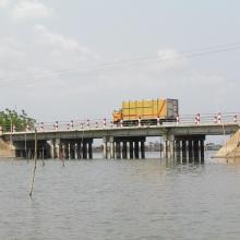
    Pont entre le Lac Ahémé et le Chenal Aho sur la Route Nationale Inter Etat Cotonou-Lomé
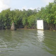
    Portion de mangrove sacralisée sur la lagune côtière à Grand-Popo
    En route pour la visite de l'Aire Communautaire de Conservation de la Biodiversité de la Bouche du Roy à Grand-Popo

    Basse Vallée du Couffo, Lagune Côtiere, Chenal Aho, Lac Ahémé

    • Country: 
      Benin
    • Designation date: 
      24-01-2000
    • Site number: 
      1017
    • Published since: 
      4 year(s)
    524,289 ha
  4. Mare Yanguali dans la plaine d’inondation de la Rivière Pendjari
    Mares au Hippo dans la plaine d’inondation de la rivière Pendjari
    Mare Yanguali dans la plaine d’inondation de la Rivière Pendjari

    Zone Humide de la Rivière Pendjari

    • Country: 
      Benin
    • Designation date: 
      02-02-2007
    • Site number: 
      1669
    • Published since: 
      5 year(s)
    483,366 ha
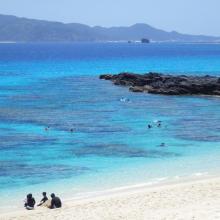
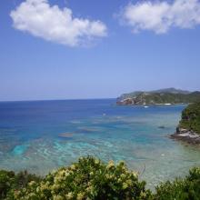
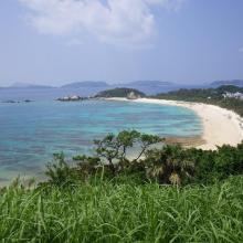
  5. 1. Overview of Furuzamami beach in Zamami Island
    2. Overview west coast of Aka Island
    3. Overview north coast of Geruma Island
    4. Overview of Aharen beach in Tokashiki Island
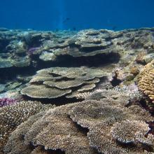
    5. Coral reef in Zamami Island
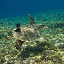
    6. Green turtle in Zamami Island
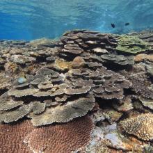
    7. Coral reef in Tokashiki islad
    8. Threadfin red bass in Zamami Island

    Keramashoto Coral Reef

    • Country: 
      Japan
    • Designation date: 
      08-11-2005
    • Site number: 
      1546
    • Published since: 
      8 year(s)
    8,290 ha
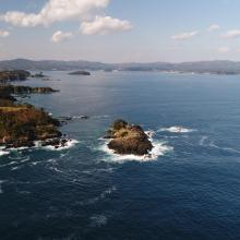
  6. Viewing the gulf from Kamiwarizaki, the south side of the bay’s entrance. The island of Matsushima is upfront, while the island of Tsubakishima is located further into the gulf.
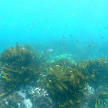
    Ditrema temminckii temminckii in the Eisenia bicyclis bed.

    Shizugawa-wan

    • Country: 
      Japan
    • Designation date: 
      18-10-2018
    • Site number: 
      2358
    • Published since: 
      5 year(s)
    5,793 ha
  7. A landscape of Lower Maruyama River taken from Toyooka Bridge located in the site "Lower Maruyama River and the surrounding rice paddies"

    Lower Maruyama River and the Surrounding Rice Paddies

    • Country: 
      Japan
    • Designation date: 
      03-07-2012
    • Site number: 
      2055
    • Published since: 
      5 year(s)
    1,094 ha
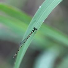
  8. 2_damselfly_male
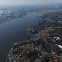
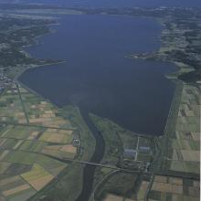
    10_Hinuma_overview2
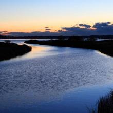
    8_Hinuma_dawn
    5_scaup2
    4_scaup1
    3_damselfly_female
    7_Hinuma_surface
    9_Hinuma_overview1
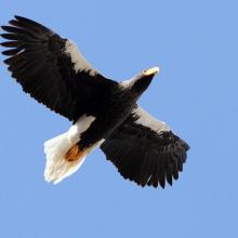
    1_stellers_seaeagle.jpg

    Hinuma

    • Country: 
      Japan
    • Designation date: 
      28-05-2015
    • Site number: 
      2232
    • Published since: 
      8 year(s)
    935 ha
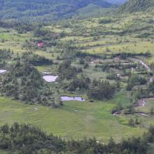
  9. Overview of Yoshigadaira moor
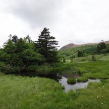
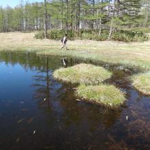
    Yoshigadaira moor ponds
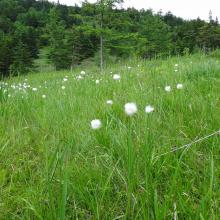
    Eriopqhorum vaginatum in Yoshigadaira
    Odaira moor pond
    Odaira moor pond
    Asian skunk cabbage (Lysichiton camtschatcense)
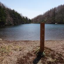
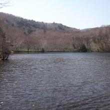
    Heibeeike pond
    Oike pond
    Mizu-ike pond
    Mt. Kusatsu-Shirane
    Yugama crator lake
    Solfatara plants
    Anajigoku Overview
    Anajigoku (Jungermannia volcanicola communities)
    Anajigoku (Jungermannia volcanicola communities)
    Forest Green Tree Frogs at Heibee pond

    Yoshigadaira Wetlands

    • Country: 
      Japan
    • Designation date: 
      28-05-2015
    • Site number: 
      2233
    • Published since: 
      8 year(s)
    887 ha
  10. The Takaono River estuary:
Tidal flats with sand and mud deposits are inhabited by many organisms, including birds.
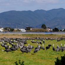
    Hooded Cranes foraging in front of Mt. Yahazu, located in the northeastern part of Izumi Plain.
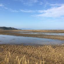
    Paddy fields in winter across the Izumi Plain:
Many cranes forage during the day, and at night, they roost in groups in paddy fields filled with water for their roosting ground.

    Izumi Wintering Habitat of Cranes

    • Country: 
      Japan
    • Designation date: 
      18-11-2021
    • Site number: 
      2462
    • Published since: 
      2 year(s)
    478 ha

Pages

Stats


Exports

Export Sites information

For a summary list of all the Ramsar Sites in pdf format, click here.

Generate reports of selected Sites

You can generate a report based on the filters you have applied, in either pdf or xls format. The report will sort the results by the Site name, unless you have sorted them by another variable.

For the pdfs, you can choose whether to include the introductory text on each Site, or just show the key data in a shorter report.

To receive a report, please provide your email address and enter the text in the verification picture into the textbox.

As soon as the list has been generated an e-mail will be sent to you with the link to access the file.