Search results
Search found 39 Ramsar Sites covering 3,141,988 ha
- (-) Remove Region/country: Oceania filter Region/country: Oceania
- (-) Remove Ramsar criteria: 1 filter Ramsar criteria: 1
- (-) Remove Ecosystem services: Provisioning Services filter Ecosystem services: Provisioning Services
- (-) Remove Region/country: Europe filter Region/country: Europe
- (-) Remove Region/country: Republic of Moldova filter Region/country: Republic of Moldova
- (-) Remove Region/country: Hungary filter Region/country: Hungary
- (-) Remove Region/country: Serbia filter Region/country: Serbia
- (-) Remove Region/country: France filter Region/country: France
- (-) Remove Region/country: Fiji filter Region/country: Fiji
- (-) Remove Picture available?: Yes filter Picture available?: Yes
Map
Materials presented on this website, particularly maps and territorial information, are as-is and as-available based on available data and do not imply the expression of any opinion whatsoever on the part of the Secretariat of the Ramsar Convention concerning the legal status of any country, territory, city or area, or of its authorities, or concerning the delimitation of its frontiers or boundaries.
List
-


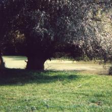
Réserve naturelle nationale des Terres australes francaises
-
Country:France (outre-mer)
-
Designation date:15-09-2008
-
Site number:1837
-
Published since:5 year(s)
2,337,100 ha -
-


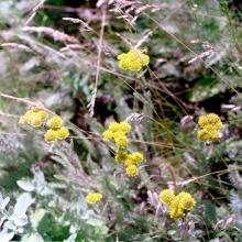
La Brenne
-
Country:France
-
Designation date:05-04-1991
-
Site number:518
-
Published since:4 year(s)
140,000 ha -
-


 were once turtle hunters who are now using their skills to advocate for the protection of this iconic species")

Qoliqoli Cokovata
-
Country:Fiji
-
Designation date:16-01-2018
-
Site number:2331
-
Published since:6 year(s)
134,900 ha -
-


Djerdap
-
Country:Serbia
-
Designation date:08-06-2020
-
Site number:2442
-
Published since:3 year(s)
66,525 ha -
-


Lower Dniester
-
Country:Republic of Moldova
-
Designation date:20-08-2003
-
Site number:1316
-
Published since:20 year(s)
60,000 ha -
-

Lake Balaton
-
Country:Hungary
-
Designation date:17-03-1989
-
Site number:421
-
Published since:7 year(s)
59,800 ha -
-


Marais Breton, Baie de Bourgneuf, Ile de Noirmoutier et Forêt de Monts
-
Country:France
-
Designation date:02-02-2017
-
Site number:2283
-
Published since:7 year(s)
55,826 ha -
-

Hortobágy
-
Country:Hungary
-
Designation date:11-04-1979
-
Site number:189
-
Published since:7 year(s)
32,037 ha -
-


Vallées de la Scarpe et de l'Escaut
-
Country:France
-
Designation date:02-02-2020
-
Site number:2405
-
Published since:4 year(s)
27,622 ha -
-

Upper Tisza (Felsö-Tisza)
-
Country:Hungary
-
Designation date:10-01-2004
-
Site number:1410
-
Published since:7 year(s)
26,871 ha -