Search results
Search found 63 Ramsar Sites covering 3,728,972 ha
- (-) Remove Region/country: Oceania filter Region/country: Oceania
- (-) Remove Picture available?: Yes filter Picture available?: Yes
- (-) Remove Ramsar criteria: 2 filter Ramsar criteria: 2
- (-) Remove Region/country: New Zealand filter Region/country: New Zealand
- (-) Remove Ramsar criteria: 6 filter Ramsar criteria: 6
- (-) Remove Threats: Invasive and other problematic species and genes filter Threats: Invasive and other problematic species and genes
- (-) Remove Wetland type: Inland wetlands filter Wetland type: Inland wetlands
- (-) Remove Ecosystem services: Cultural Services filter Ecosystem services: Cultural Services
- (-) Remove Ecosystem services: Spiritual and inspirational filter Ecosystem services: Spiritual and inspirational
- (-) Remove Region/country: Latin America and the Caribbean filter Region/country: Latin America and the Caribbean
- (-) Remove Region/country: Europe filter Region/country: Europe
Map
Materials presented on this website, particularly maps and territorial information, are as-is and as-available based on available data and do not imply the expression of any opinion whatsoever on the part of the Secretariat of the Ramsar Convention concerning the legal status of any country, territory, city or area, or of its authorities, or concerning the delimitation of its frontiers or boundaries.
List
-

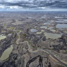

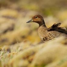
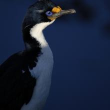
Réserve naturelle nationale des Terres australes francaises
-
Country:France (outre-mer)
-
Designation date:15-09-2008
-
Site number:1837
-
Published since:5 year(s)
2,337,100 ha -
-
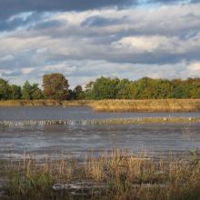

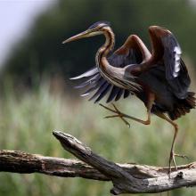
La Brenne
-
Country:France
-
Designation date:05-04-1991
-
Site number:518
-
Published since:4 year(s)
140,000 ha -
-


Doñana
-
Country:Spain
-
Designation date:04-05-1982
-
Site number:234
-
Published since:17 year(s)
111,646 ha -
-
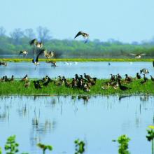
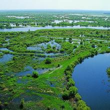
Mid-Pripyat State Landscape Zakaznik
-
Country:Belarus
-
Designation date:10-08-2001
-
Site number:1090
-
Published since:7 year(s)
93,062 ha -
-
Laguna de Llancanelo
-
Country:Argentina
-
Designation date:08-11-1995
-
Site number:759
-
Published since:4 year(s)
91,365 ha -
-
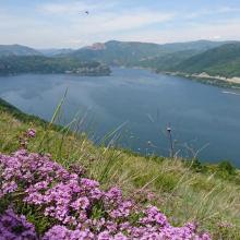
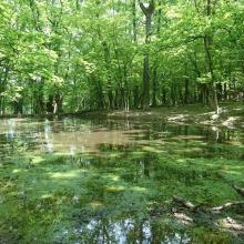
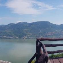
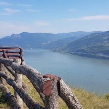
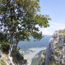
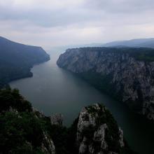
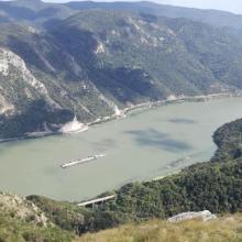

Djerdap
-
Country:Serbia
-
Designation date:08-06-2020
-
Site number:2442
-
Published since:3 year(s)
66,525 ha -
-


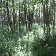

Biebrzański National Park
-
Country:Poland
-
Designation date:24-10-1995
-
Site number:756
-
Published since:5 year(s)
59,233 ha -
-


North, Middle & East Caicos Islands
-
Country:United Kingdom of Great Britain and Northern Ireland (Overseas territories)
-
Designation date:27-06-1990
-
Site number:493
-
Published since:22 year(s)
58,617 ha -
-
Marais Breton, Baie de Bourgneuf, Ile de Noirmoutier et Forêt de Monts
-
Country:France
-
Designation date:02-02-2017
-
Site number:2283
-
Published since:7 year(s)
55,826 ha -
-
Lonjsko Polje Nature Park
-
Country:Croatia
-
Designation date:02-11-1992
-
Site number:584
-
Published since:4 year(s)
51,218 ha -


