Search results

Map

Choose map: | | Download Centroids / Boundaries / Map (pdf)
Materials presented on this website, particularly maps and territorial information, are as-is and as-available based on available data and do not imply the expression of any opinion whatsoever on the part of the Secretariat of the Ramsar Convention concerning the legal status of any country, territory, city or area, or of its authorities, or concerning the delimitation of its frontiers or boundaries.

List

  1. Ramsar logo

    Laguna de los Pozuelos

    • Country: 
      Argentina
    • Designation date: 
      04-05-1992
    • Site number: 
      555
    • Published since: 
      28 year(s)
    16,224 ha
  2. Ramsar logo

    Lower Inn Reservoirs

    • Country: 
      Austria
    • Designation date: 
      16-12-1982
    • Site number: 
      274
    • Published since: 
      12 year(s)
    870 ha
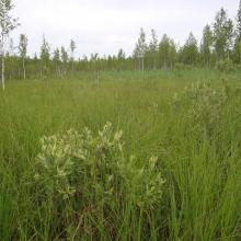
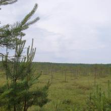
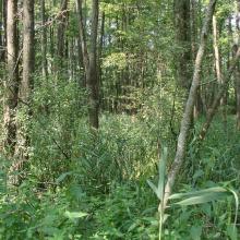
  3. Transition mires dominate within the site.
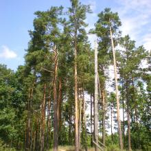
    Old-aged pine forest preserved on sand dunes.
    Raised bogs are located in the centre of tyhe mire massif.

    Stary Zhaden

    • Country: 
      Belarus
    • Designation date: 
      07-09-2012
    • Site number: 
      2140
    • Published since: 
      3 year(s)
    17,048 ha
  4. Drozbitka-Svina site
    Drozbitka-Svina site
    Drozbitka-Svina site

    Drozbitka-Svina

    • Country: 
      Belarus
    • Designation date: 
      29-05-2014
    • Site number: 
      2261
    • Published since: 
      8 year(s)
    6,727 ha
  5. Forest in the floodplain of the Iput River
    The floodplain of the Iput River
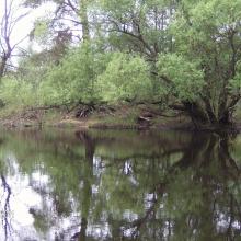
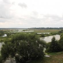
    Fen mires overgown with shrubs and combined with oxbow lakes in the floodplain of the Iput River

    Iput River Floodplain

    • Country: 
      Belarus
    • Designation date: 
      30-03-2015
    • Site number: 
      2262
    • Published since: 
      8 year(s)
    3,502 ha
  6. Ramsar site Vydritsa is situated in the Berezina River floodplain
    The floodplain contains numerous oxbows
    Floodplain oak wood is one of the most valuable biotops of the site
    Vydritsa River flows into the Berezina River within the site's territory

    Vydritsa

    • Country: 
      Belarus
    • Designation date: 
      29-03-2013
    • Site number: 
      2195
    • Published since: 
      3 year(s)
    17,403 ha
  7. Ramsar logo

    Río Blanco

    • Country: 
      Bolivia (Plurinational State of)
    • Designation date: 
      02-02-2013
    • Site number: 
      2092
    • Published since: 
      11 year(s)
    2,404,916 ha
  8. Western part of the wetland with Chepan Mountain in the background.
    Dragoman marsh - Aldrovanda versiculosa monitoring - The Turtle, Birds and Plants in Western Bulgaria Project BG03.SGS-18, funded under the BG03 Program of the European Economic Area Financial Mechanism 2009-2014
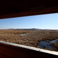
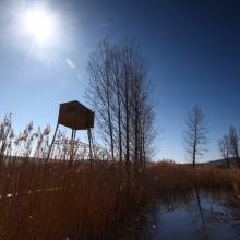
    From the bird watcherover.
    A bird watchover in Dragoman marsh.
    Dragoman marsh.
    Dragoman marsh.
    Dragoman marsh
    Dragoman marsh, View from Chepan Mountain

    Dragoman Marsh Karst Complex

    • Country: 
      Bulgaria
    • Designation date: 
      11-02-2011
    • Site number: 
      1970
    • Published since: 
      4 year(s)
    14,941 ha
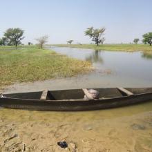
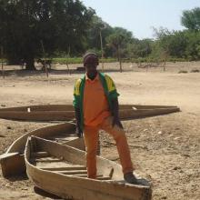
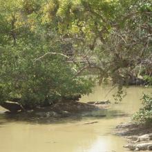
  9. Photo 1 : Plan d'eau de la vallée du Sourou
    Photo 2 : Engin de pêche aux abords du plan d'eau
    Photo 3 : Station de pompage d'eau pour le périmètre irrigué (2245 ha) aménagé dans le cadre du Millenium Challenge Account (MCA)
    Photo 4 : Un pêcheur en pleine prise de poisson
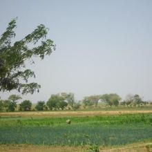
    Photo 7 : Étendue de spéculations maraîchères  dans le périmètre aménagé   dans le cadre du MCA
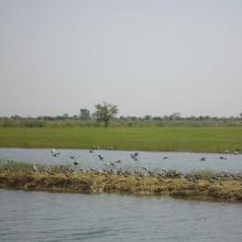
    Photo 6 : Richesse ornithologique du site de la vallée du Sourou
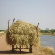
    Photo 5 : Récolte de la paille sur le site de la vallée du Sourou
    Photo 8 : Pêcheur solitaire sur  la rive droite de la vallée du Sourou
    Photo 9 : Étendue du périmètre aménagé

    La Vallée du Sourou

    • Country: 
      Burkina Faso
    • Designation date: 
      07-10-2009
    • Site number: 
      1885
    • Published since: 
      6 year(s)
    21,157 ha
  10. Photo 9 : Gros plan sur la richesse culturelle des communautés riveraines du site
    Photo 5 : Périmètre maraîcher aux abords de la mare aux crocodiles sacrés
    Photo 6 : îlots de végétation arborée dans le site Ramsar
    Photo 7 : Confection de briques pour la construction des habitations aux abords de la principale mare
    Photo 8 : Puits pastoral pérenne du fait de la recharge de la nappe phréatique par la zone humide dans le village de Nogodoum
    Photo 1 : Troupeau de boeufs venant s'abreuver dans une des mare satellite  du site
    Photo 2 : Monture des communautés riveraines du site et source attraction des touristes étrangers
    Photo 3 : îlot de végétation clairsemée dans le site Ramsar
    Photo 4 : Le gestionnaire du site présentant les moyens de locomotion des habitants du village de Nogodoum situé au coeur du site pendant l'hivernage
    Photo 8 : Groupe de crocodiles du Nil dans la mare du village de Nogodoum

    Cône d'épandage de Banh

    • Country: 
      Burkina Faso
    • Designation date: 
      07-10-2009
    • Site number: 
      1877
    • Published since: 
      7 year(s)
    10,003 ha

Pages

Stats


Exports

Export Sites information

For a summary list of all the Ramsar Sites in pdf format, click here.

Generate reports of selected Sites

You can generate a report based on the filters you have applied, in either pdf or xls format. The report will sort the results by the Site name, unless you have sorted them by another variable.

For the pdfs, you can choose whether to include the introductory text on each Site, or just show the key data in a shorter report.

To receive a report, please provide your email address and enter the text in the verification picture into the textbox.

As soon as the list has been generated an e-mail will be sent to you with the link to access the file.