Search results

Map

Choose map: | | Download Centroids / Boundaries / Map (pdf)
Materials presented on this website, particularly maps and territorial information, are as-is and as-available based on available data and do not imply the expression of any opinion whatsoever on the part of the Secretariat of the Ramsar Convention concerning the legal status of any country, territory, city or area, or of its authorities, or concerning the delimitation of its frontiers or boundaries.

List

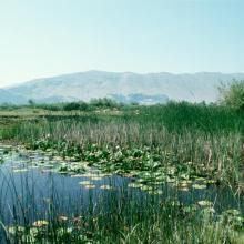
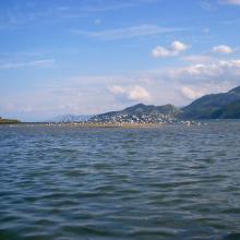
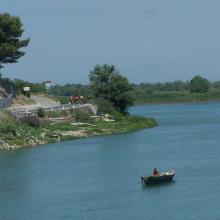
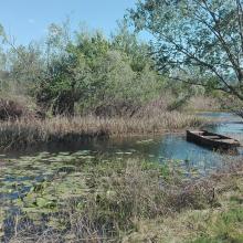
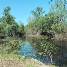
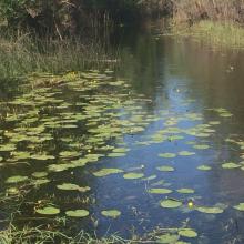
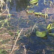
  1. Lake Shkodra and River Buna Ramsar Site
    Lake Shkodra and River Buna Ramsar Site
    Lake Shkodra and River Buna Ramsar Site

    Lake Shkodra and River Buna

    • Country: 
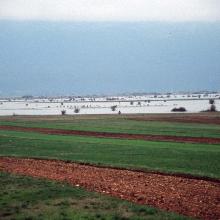
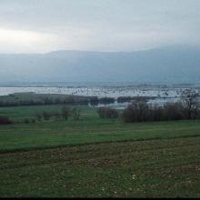
      Albania
    • Designation date: 
      02-02-2006
    • Site number: 
      1598
    • Published since: 
      18 year(s)
    49,562 ha
  2. Ramsar logo

    Lagunas de Guanacache, Desaguadero y del Bebedero

    • Country: 
      Argentina
    • Designation date: 
      14-12-1999
    • Site number: 
      1012
    • Published since: 
      17 year(s)
    962,370 ha
  3. Ramsar logo

    The Coorong, Lake Alexandrina & Albert Wetland

    • Country: 
      Australia
    • Designation date: 
      11-01-1985
    • Site number: 
      321
    • Published since: 
      11 year(s)
    142,530 ha
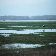
  4. Most of the site is sitiated in the Pripyat River floodplain
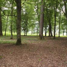
    Floodplain oak woods are very valuable biotopes.
    Large raised bogs are unique biotopes for Polesie region
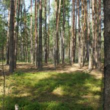
    Old-aged pine forests preserved on sand dunes among mires.
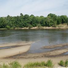
    Owbows in the Pripyat River floodplain.
    Owbows in the Pripyat River floodplain.
    Almost annually the Pripyat floodplain and adjacent villages get flooded.
    Almost annually the Pripyat floodplain and adjacent villages get flooded.

    Pripyatsky National Park

    • Country: 
      Belarus
    • Designation date: 
      29-03-2013
    • Site number: 
      2197
    • Published since: 
      3 year(s)
    88,553 ha
  5. Mare Sapiengou dans le Parc W : un des points d'abreuvement de la faune sauvage
    Rivière Mékrou dans le triangle du Parc W

    Site Ramsar du Complexe W

    • Country: 
      Benin
    • Designation date: 
      02-02-2007
    • Site number: 
      1668
    • Published since: 
      5 year(s)
    926,927 ha
  6. Le lac Toho
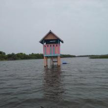
    Mirador sur la portion sacrée de la lagune côtière à Ahloboe dans la commune de Ouidah
    Cormoran sur les piquets d'Acadja sur le Lac Ahémé
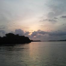
    Coucher du soleil sur la lagune côtière à Grand-Popo
    Lâcher de jeunes tortues marines à Grand-Popo
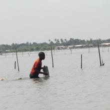
    Pêcheur sur le Lac Ahémé
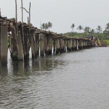
    Pont de fortune sur la lagune côtière dans la commune de Ouidah
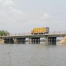
    Pont entre le Lac Ahémé et le Chenal Aho sur la Route Nationale Inter Etat Cotonou-Lomé
    Portion de mangrove sacralisée sur la lagune côtière à Grand-Popo
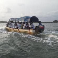
    En route pour la visite de l'Aire Communautaire de Conservation de la Biodiversité de la Bouche du Roy à Grand-Popo

    Basse Vallée du Couffo, Lagune Côtiere, Chenal Aho, Lac Ahémé

    • Country: 
      Benin
    • Designation date: 
      24-01-2000
    • Site number: 
      1017
    • Published since: 
      4 year(s)
    524,289 ha
  7. Ramsar logo

    Río Yata

    • Country: 
      Bolivia (Plurinational State of)
    • Designation date: 
      02-02-2013
    • Site number: 
      2094
    • Published since: 
      11 year(s)
    2,813,229 ha
  8. Ramsar logo

    Río Blanco

    • Country: 
      Bolivia (Plurinational State of)
    • Designation date: 
      02-02-2013
    • Site number: 
      2092
    • Published since: 
      11 year(s)
    2,404,916 ha
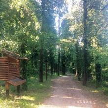
  9. Educational trail
    Karaotok
    Karaotok
    Karaotok
    Karaotok
    Educational trail
    Educational trail
    Lake Škrka
    Lake Svitava
    Nuphar lutea
    Natrix tesselata
    Vipera ammodytes

    Hutovo Blato

    • Country: 
      Bosnia and Herzegovina
    • Designation date: 
      24-09-2001
    • Site number: 
      1105
    • Published since: 
      4 year(s)
    7,824 ha
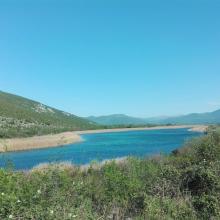
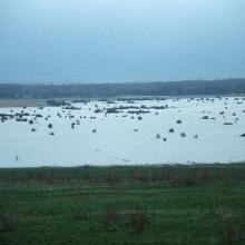
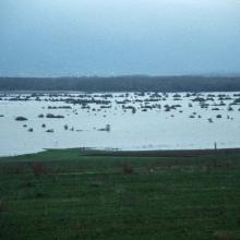
  10. The pastures and meadows flooded on April 17th, 2004, allow an estimate of water level of up to 1,5 m, and form a natural periodic karst lake (flooded area) of 230 km2

Figure 1
Route: Lusnic – Celebic – Donji Kazanci
    Figure 2
Route: Lusnic – Celebic – Donji Kazanci
    Figure 3
Route: Lusnic – Celebic – Donji Kazanci
    Figure 4
Route: Lusnic – Celebic – Donji Kazanci
    Figure 5
Route: Lusnic – Celebic – Donji Kazanci
    Figure 6
Route: Lusnic – Celebic – Donji Kazanci
    Figure 7
Route: Lusnic – Celebic – Donji Kazanci
    Figure 8
Route: Lusnic – Celebic – Donji Kazanci
    Figure 9
Route: Lusnic – Celebic – Donji Kazanci
    Figure 10
Route: Lusnic – Celebic – Donji Kazanci

    Livanjsko Polje

    • Country: 
      Bosnia and Herzegovina
    • Designation date: 
      11-04-2008
    • Site number: 
      1786
    • Published since: 
      16 year(s)
    45,868 ha

Pages

Stats


Exports

Export Sites information

For a summary list of all the Ramsar Sites in pdf format, click here.

Generate reports of selected Sites

You can generate a report based on the filters you have applied, in either pdf or xls format. The report will sort the results by the Site name, unless you have sorted them by another variable.

For the pdfs, you can choose whether to include the introductory text on each Site, or just show the key data in a shorter report.

To receive a report, please provide your email address and enter the text in the verification picture into the textbox.

As soon as the list has been generated an e-mail will be sent to you with the link to access the file.