Search results

Map

Choose map: | | Download Centroids / Boundaries / Map (pdf)
Materials presented on this website, particularly maps and territorial information, are as-is and as-available based on available data and do not imply the expression of any opinion whatsoever on the part of the Secretariat of the Ramsar Convention concerning the legal status of any country, territory, city or area, or of its authorities, or concerning the delimitation of its frontiers or boundaries.

List

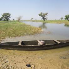
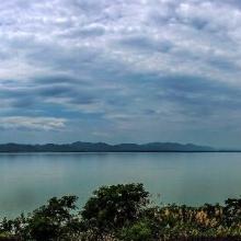
  1. Photo 1 : Plan d'eau de la vallée du Sourou
    Photo 2 : Engin de pêche aux abords du plan d'eau
    Photo 3 : Station de pompage d'eau pour le périmètre irrigué (2245 ha) aménagé dans le cadre du Millenium Challenge Account (MCA)
    Photo 4 : Un pêcheur en pleine prise de poisson
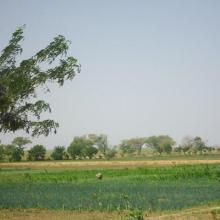
    Photo 7 : Étendue de spéculations maraîchères  dans le périmètre aménagé   dans le cadre du MCA
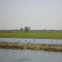
    Photo 6 : Richesse ornithologique du site de la vallée du Sourou
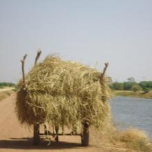
    Photo 5 : Récolte de la paille sur le site de la vallée du Sourou
    Photo 8 : Pêcheur solitaire sur  la rive droite de la vallée du Sourou
    Photo 9 : Étendue du périmètre aménagé

    La Vallée du Sourou

    • Country: 
      Burkina Faso
    • Designation date: 
      07-10-2009
    • Site number: 
      1885
    • Published since: 
      6 year(s)
    21,157 ha
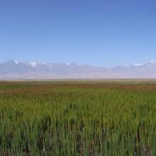
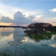
  2. The evening scene of Wanghu
    Fuhe River eocosystem
    Summer scenery of Wanghu
    Habitat of  Wuzhuazui

    Hubei Wang Lake

    • Country: 
      China
    • Designation date: 
      08-01-2018
    • Site number: 
      2349
    • Published since: 
      5 year(s)
    20,495 ha
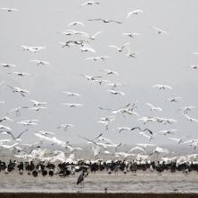
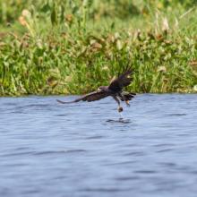
  3. Grus nigricollis
    Permanent freshwater marshes
    Permanent rivers
    Anser indicus

    Gansu Yanchiwan Wetlands

    • Country: 
      China
    • Designation date: 
      08-01-2018
    • Site number: 
      2347
    • Published since: 
      5 year(s)
    29,876 ha
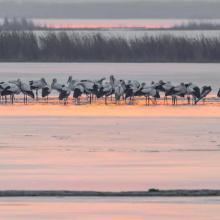
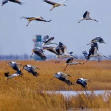
  4. Cygnus columbianus
    Ciconia boyciana
    Ciconia boyciana
    Grus grus

    Tianjin Beidagang Wetlands

    • Country: 
      China
    • Designation date: 
      03-02-2020
    • Site number: 
      2425
    • Published since: 
      3 year(s)
    1,130 ha
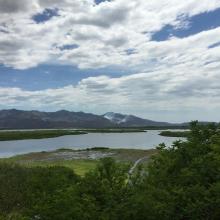
  5. Anguila_Synbranchus marmoratus
    Ptychohyla salvadorensis_El Jocotal
    Panorámica_Laguna El Jocotal
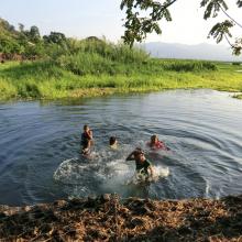
    Personas dentro de la laguna
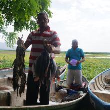
    Pescadores El Jocotal
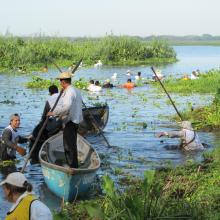
    Remoción de Jacinto de Agua_2
    Remoción de Jacinto de Agua_1
    Ardea alba, Egretta thula, E. caerulea, Nycticorax nycticorax
    Rostrhamus sociabilis

    Area Natural Protegida Laguna del Jocotal

    • Country: 
      El Salvador
    • Designation date: 
      22-01-1999
    • Site number: 
      970
    • Published since: 
      2 year(s)
    4,479 ha
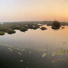
  6. Landscape of Thol
    landscape of Thol
    landscape of Thol

    Thol Lake Wildlife Sanctuary

    • Country: 
      India
    • Designation date: 
      05-04-2021
    • Site number: 
      2458
    • Published since: 
      2 year(s)
    699 ha
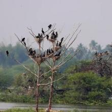
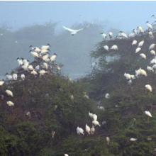
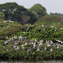
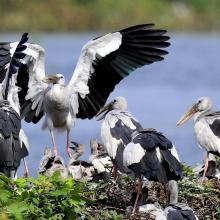
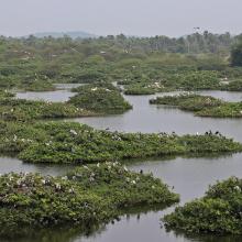
  7. Panoramic view of Vellode Bird Sanctuary
    Panoramic view of Vellode Bird Sanctuary
    Nesting grounds

    Vellode Bird Sanctuary

    • Country: 
      India
    • Designation date: 
      08-04-2022
    • Site number: 
      2475
    • Published since: 
      1 year(s)
    77 ha
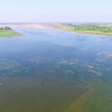
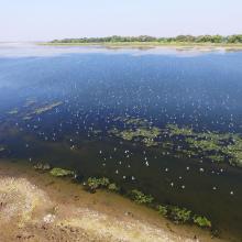
  8. NMWLS Wetland Aerial View
    Riverine Forest
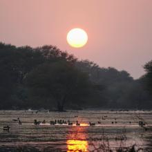
    Birds Flock
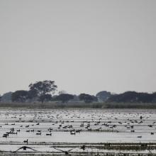
    Ducks Assemblage
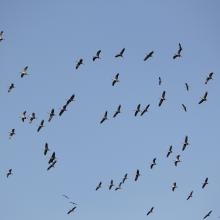
    Comman Crane Flock
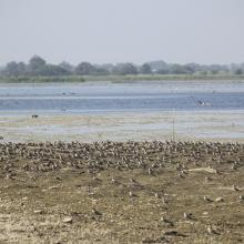
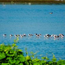
    Small Pratincole Flock
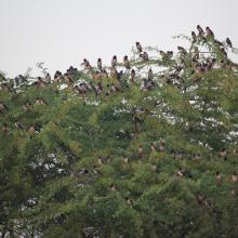
    Rosy Starling Flock

    Nandur Madhameshwar

    • Country: 
      India
    • Designation date: 
      21-06-2019
    • Site number: 
      2410
    • Published since: 
      4 year(s)
    1,437 ha
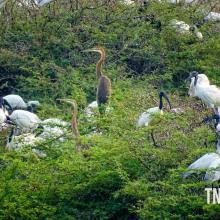
  9. Black headed Ibis nest
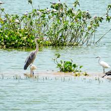
    Panoramic View of Vaduvur Bird Sanctuary
    Herons foraging
    Panoramic view of the sanctuary
    Nesting Site

    Vaduvur Bird Sanctuary

    • Country: 
      India
    • Designation date: 
      08-04-2022
    • Site number: 
      2493
    • Published since: 
      1 year(s)
    113 ha
  10. Panoramic view of the Vedanthangal
    Nesting grounds in Vedanthangal
    Foraging ground in Vedanthangal
    Panoramic view of the Vedanthangal

    Vedanthangal Bird Sanctuary

    • Country: 
      India
    • Designation date: 
      08-04-2022
    • Site number: 
      2477
    • Published since: 
      1 year(s)
    40 ha

Pages

Stats


Exports

Export Sites information

For a summary list of all the Ramsar Sites in pdf format, click here.

Generate reports of selected Sites

You can generate a report based on the filters you have applied, in either pdf or xls format. The report will sort the results by the Site name, unless you have sorted them by another variable.

For the pdfs, you can choose whether to include the introductory text on each Site, or just show the key data in a shorter report.

To receive a report, please provide your email address and enter the text in the verification picture into the textbox.

As soon as the list has been generated an e-mail will be sent to you with the link to access the file.