Search results

Map

Choose map: | | Download Centroids / Boundaries / Map (pdf)
Materials presented on this website, particularly maps and territorial information, are as-is and as-available based on available data and do not imply the expression of any opinion whatsoever on the part of the Secretariat of the Ramsar Convention concerning the legal status of any country, territory, city or area, or of its authorities, or concerning the delimitation of its frontiers or boundaries.

List

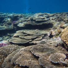
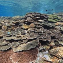
  1. Tubastrea coccinea
    Caretta caretta
    Nautilus pompilius
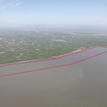
    Landscape of Nanpeng Island
    Sousa chinensis
    Chelonia mydas
    Landscape of Zhongpeng Island 20150602

    Guangdong Nanpeng Archipelago Wetlands

    • Country: 
      China
    • Designation date: 
      16-10-2015
    • Site number: 
      2249
    • Published since: 
      8 year(s)
    35,679 ha
  2. Olive ridley Turtle, corals
    Sea Grass over shallow water surface
    Dugong
    Panoramic view of Gulf of Mannar Marine Biosphere Reserve
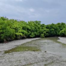
    Mangrove cover in Mannar Biosphere Reserve

    Gulf of Mannar Marine Biosphere Reserve

    • Country: 
      India
    • Designation date: 
      08-04-2022
    • Site number: 
      2472
    • Published since: 
      1 year(s)
    52,672 ha
  3. panoramic view of Pallikaranai Marsh
    Ariel View of Pallikaranai Marsh
    Pallikaranai Marsh
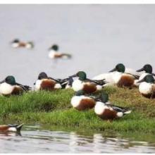
    Northern Shoveler

    Pallikaranai Marsh Reserve Forest

    • Country: 
      India
    • Designation date: 
      08-04-2022
    • Site number: 
      2481
    • Published since: 
      1 year(s)
    1,248 ha
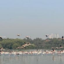
  4. Flamingoes in Thane creek
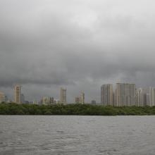
    Mangroves and City
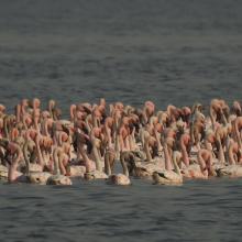
    congregation of Lesser flamingoes
    Mangroves of Thane creek
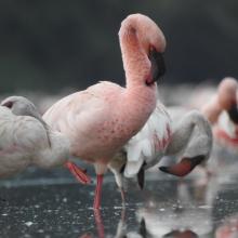
    Closeup view

    Thane Creek

    • Country: 
      India
    • Designation date: 
      13-04-2022
    • Site number: 
      2490
    • Published since: 
      1 year(s)
    6,521 ha
  5. View of Bujagh-Caspian sea
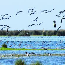
    Flock of Vanellus gregarius (Sociable Lapwing)
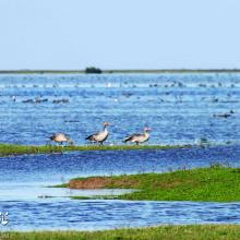
    Anser anser in Bujagh wetland

    Bujagh National Park

    • Country: 
      Iran (Islamic Republic of)
    • Designation date: 
      23-06-1975
    • Site number: 
      46
    • Published since: 
      1 year(s)
    3,433 ha
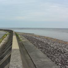
  6. A landscape of Lower Maruyama River taken from Toyooka Bridge located in the site "Lower Maruyama River and the surrounding rice paddies"

    Lower Maruyama River and the Surrounding Rice Paddies

    • Country: 
      Japan
    • Designation date: 
      03-07-2012
    • Site number: 
      2055
    • Published since: 
      5 year(s)
    1,094 ha
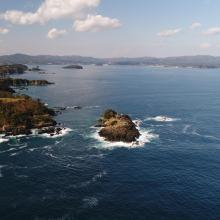
  7. Viewing the gulf from Kamiwarizaki, the south side of the bay’s entrance. The island of Matsushima is upfront, while the island of Tsubakishima is located further into the gulf.
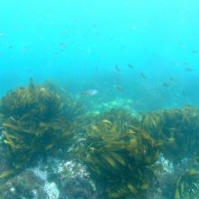
    Ditrema temminckii temminckii in the Eisenia bicyclis bed.

    Shizugawa-wan

    • Country: 
      Japan
    • Designation date: 
      18-10-2018
    • Site number: 
      2358
    • Published since: 
      5 year(s)
    5,793 ha
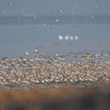
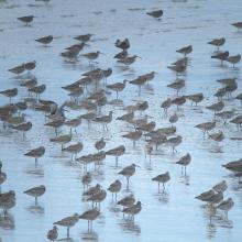
  8. A flock of shorebirds
    Overview
    Near view

    Higashiyoka-higata

    • Country: 
      Japan
    • Designation date: 
      28-05-2015
    • Site number: 
      2234
    • Published since: 
      8 year(s)
    218 ha
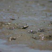
  9. Great Blue-spotted Mudskipper
    The south side of Hizen Kashima-higata
    The north side of Hizen Kashima-higata
    The east side of Hizen Kashima-higata
    Saunders's Gull
    Whinbrel
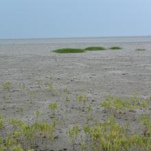
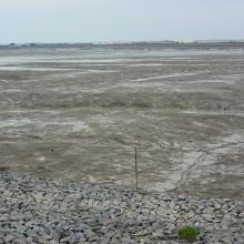
    Overview at low tide

    Hizen Kashima-higata

    • Country: 
      Japan
    • Designation date: 
      28-05-2015
    • Site number: 
      2235
    • Published since: 
      8 year(s)
    57 ha
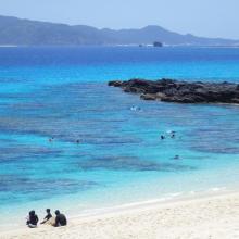
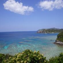
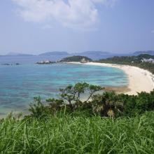
  10. 1. Overview of Furuzamami beach in Zamami Island
    2. Overview west coast of Aka Island
    3. Overview north coast of Geruma Island
    4. Overview of Aharen beach in Tokashiki Island
    5. Coral reef in Zamami Island
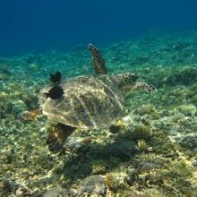
    6. Green turtle in Zamami Island
    7. Coral reef in Tokashiki islad
    8. Threadfin red bass in Zamami Island

    Keramashoto Coral Reef

    • Country: 
      Japan
    • Designation date: 
      08-11-2005
    • Site number: 
      1546
    • Published since: 
      8 year(s)
    8,290 ha

Pages

Stats


Exports

Export Sites information

For a summary list of all the Ramsar Sites in pdf format, click here.

Generate reports of selected Sites

You can generate a report based on the filters you have applied, in either pdf or xls format. The report will sort the results by the Site name, unless you have sorted them by another variable.

For the pdfs, you can choose whether to include the introductory text on each Site, or just show the key data in a shorter report.

To receive a report, please provide your email address and enter the text in the verification picture into the textbox.

As soon as the list has been generated an e-mail will be sent to you with the link to access the file.