Search results

Map

Choose map: | | Download Centroids / Boundaries / Map (pdf)
Materials presented on this website, particularly maps and territorial information, are as-is and as-available based on available data and do not imply the expression of any opinion whatsoever on the part of the Secretariat of the Ramsar Convention concerning the legal status of any country, territory, city or area, or of its authorities, or concerning the delimitation of its frontiers or boundaries.

List

  1. Parc National d'El Kala
    Parc National d'El Kala
    Parc National d'El Kala
    Parc National d'El Kala
    Parc National d'El Kala
    Parc National d'El Kala

    Réserve Intégrale du Lac El Mellah

    • Country: 
      Algeria
    • Designation date: 
      12-12-2004
    • Site number: 
      1424
    • Published since: 
      6 year(s)
    2,257 ha
  2. Le lac Toho
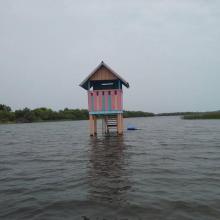
    Mirador sur la portion sacrée de la lagune côtière à Ahloboe dans la commune de Ouidah
    Cormoran sur les piquets d'Acadja sur le Lac Ahémé
    Coucher du soleil sur la lagune côtière à Grand-Popo
    Lâcher de jeunes tortues marines à Grand-Popo
    Pêcheur sur le Lac Ahémé
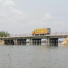
    Pont de fortune sur la lagune côtière dans la commune de Ouidah
    Pont entre le Lac Ahémé et le Chenal Aho sur la Route Nationale Inter Etat Cotonou-Lomé
    Portion de mangrove sacralisée sur la lagune côtière à Grand-Popo
    En route pour la visite de l'Aire Communautaire de Conservation de la Biodiversité de la Bouche du Roy à Grand-Popo

    Basse Vallée du Couffo, Lagune Côtiere, Chenal Aho, Lac Ahémé

    • Country: 
      Benin
    • Designation date: 
      24-01-2000
    • Site number: 
      1017
    • Published since: 
      4 year(s)
    524,289 ha
  3. shallow sea

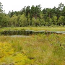
    Laidevahe

    • Country: 
      Estonia
    • Designation date: 
      24-03-2003
    • Site number: 
      1271
    • Published since: 
      3 year(s)
    2,424 ha
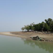
  4. Mangrove Forest
    Sundarban Wetland

    Sundarban Wetland

    • Country: 
      India
    • Designation date: 
      30-01-2019
    • Site number: 
      2370
    • Published since: 
      5 year(s)
    423,000 ha
  5. Lame di Fuori Natural Reserve – Massaciuccoli Ramsar Site
    Wintering ducks – Massaciuccoli Ramsar Site
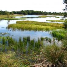
    Massaciuccoli lake and marshland – Massaciuccoli Ramsar Site
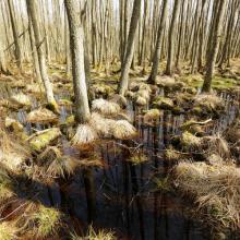
    Flooded forest – Massaciuccoli Ramsar Site

    Massaciuccoli lake and marsh

    • Country: 
      Italy
    • Designation date: 
      22-06-2017
    • Site number: 
      2311
    • Published since: 
      6 year(s)
    11,135 ha
  6. Stagno Longu -
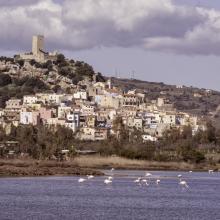
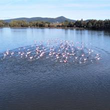
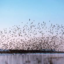
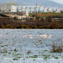
Posada - Volo di
fenicotteri
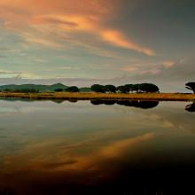
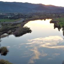
    Riflessi sul Rio
Posada
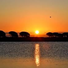
    Tramonto su
Posada dallo
stagno Longu
    Skyline di Posada
dal Rio Posada
    Riflessi sul Rio
Posada
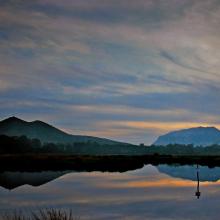
    Riflesso del
Montalbo sul Rio
Posada da San
Giovanni
    Pescatore alla
foce di Orvile
    Alba sul Rio
Posada - Stagno
Tundu
I
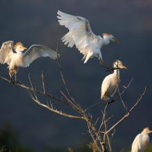
    Stagni di Posada – Volo di aironi guarda buoi (Bubulcus ibis)
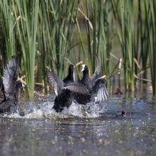
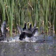
    Stagni di Posada – Combattimento di folaghe (Fulica atra)
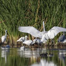
    Stagni di Posada - Aironi
    Stagni di Posada – Posatoio di Aironi guardabuoi (Bubulcus ibis)
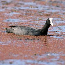
    Stagni di Posada – Folaga (Fulica atra)
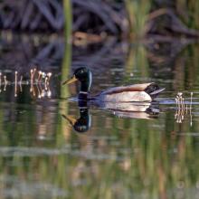
    Stagni di Posada – Germano reale
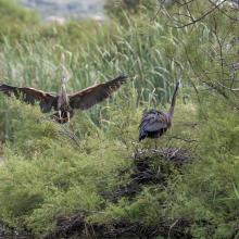
    Stagni di Posada – Nidificazione di Airone rosso (Arsea purpurea)
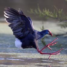
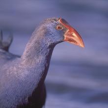
    Stagni di Posada – Pollo sulatno (Porphyrio porphyrio)
    Stagni di Posada – Pollo sultano (Porphyrio porphyrio)
    -Stagni di Posada
    Fenicotteri foce – stagno Posada
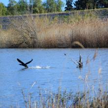
    Cormorano si alza in volo (Torpè)
    La peschiera Posada foce
    Vista aerea Ramsar a Torpè (direzione Ovest)
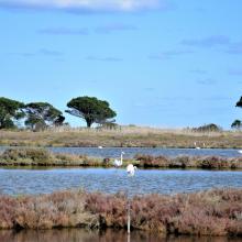
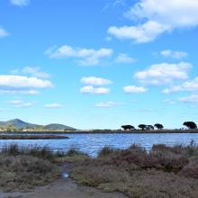
    Stagno – foce
    Dal guado di Torpè sguardo a Ovest
    Canneto e avifauna a Torpè

    Posada River Mouth

    • Country: 
      Italy
    • Designation date: 
      25-02-2021
    • Site number: 
      2452
    • Published since: 
      2 year(s)
    736 ha
  7. American Flamingos (Phoenicopterus ruber) congregating in shallow areas of the lagoon in Ría Celestún, one of their main resting and feeding habitats in the Yucatan Peninsula. Boats approach the flamingos to a certain extent in order not to scare them away.
    A colony of Magnificent frigatebirds Fregata magnificens on the red mangrove forests (Rhizophora mangle).
    Inside the Red Mangrove Forests. The lagoon itself acquires the red colors given by the mangrove tannins.
    An island of high rise forests (Peten) amidst the mangrove, due to the presence of a freshwater spring typically called "ojo de agua".
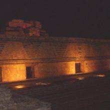
    The light show in the ruins of Uxmal, where Mayan legends were narrated praying for rain.

    Reserva de la Biosfera Ría Celestún

    • Country: 
      Mexico
    • Designation date: 
      02-02-2004
    • Site number: 
      1333
    • Published since: 
      20 year(s)
    81,482 ha
  8. Marais de Smir
    Rive du barrage de Smir - Reposoir d'oies

    Lagune et barrage de Smir

    • Country: 
      Morocco
    • Designation date: 
      22-05-2019
    • Site number: 
      2380
    • Published since: 
      4 year(s)
    837 ha
  9. Peatbog buried by dune
    Bulrush in Gardno Lake
    Alder forest
    Sea coastal waters
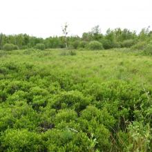
    Peatbog
    Gardno Lake
    Gardno Lake
    Sea coastal waters
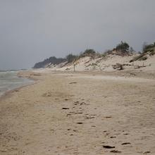
    Peatbog buried by dune
    Peatbog
    Peatbog
    Wet forest
    bog woodland
    Vaccinio uliginosi-Betuletum pubescentis
    Peatland regenerating after peat extraction
    Peatland regenerating after peat extraction
    Salt marshes
    Sea coastal waters
    Peatbog Krakulice
    Peatbog Krakulice
    Shrubs with bog-myrtle
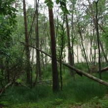
    Alder forest buried by dune

    Słowiński National Park

    • Country: 
      Poland
    • Designation date: 
      24-10-1995
    • Site number: 
      757
    • Published since: 
      5 year(s)
    32,744 ha
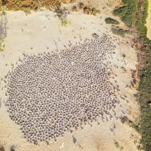
  10. Site de nidification et de gagnage des sternes caspiennes
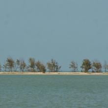
    Vu d'ensemble de la langue de Barbarie
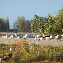
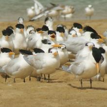
    Colonie des Sternes royales
    Colonie de Sterne Caspienne en vol
    Un des écosystèmes remarquables du parc
    Un des écosystèmes remarquables du parc
    Singe vert un des mammifères du Parc
    Un des écosystèmes remarquables du parc
    Un des écosystèmes remarquables du parc
    Embarcadère du parc
    Vu aérienne du parc
    Vu aérienne des colonies nicheuses
    Hydrologie du parc

    Parc National de la Langue de Barbarie

    • Country: 
      Senegal
    • Designation date: 
      07-04-2021
    • Site number: 
      2467
    • Published since: 
      2 year(s)
    2,000 ha

Pages

Stats


Exports

Export Sites information

For a summary list of all the Ramsar Sites in pdf format, click here.

Generate reports of selected Sites

You can generate a report based on the filters you have applied, in either pdf or xls format. The report will sort the results by the Site name, unless you have sorted them by another variable.

For the pdfs, you can choose whether to include the introductory text on each Site, or just show the key data in a shorter report.

To receive a report, please provide your email address and enter the text in the verification picture into the textbox.

As soon as the list has been generated an e-mail will be sent to you with the link to access the file.