Search results

Map

Choose map: | | Download Centroids / Boundaries / Map (pdf)
Materials presented on this website, particularly maps and territorial information, are as-is and as-available based on available data and do not imply the expression of any opinion whatsoever on the part of the Secretariat of the Ramsar Convention concerning the legal status of any country, territory, city or area, or of its authorities, or concerning the delimitation of its frontiers or boundaries.

List

  1. Bahía Lomas

    • Country: 
      Chile
    • Designation date: 
      06-12-2004
    • Site number: 
      1430
    • Published since: 
      19 year(s)
    58,946 ha
  2. Vista panorámica del Humedal Huentelauquén, desde ribera norte

    Las Salinas de Huentelauquén (LSH)

    • Country: 
      Chile
    • Designation date: 
      02-02-2015
    • Site number: 
      2237
    • Published since: 
      8 year(s)
    2,772 ha
  3. Humedal Salinas Chica
    Humedal Salinas Chica
    Humedal Pachingo
    Humedal Salinas Chica
    Humedales de Tongoy
    Humedal Salinas Grande
    Humedal Salinas Chica
    Humedal Salinas Chica

    Humedales Costeros de la Bahía Tongoy

    • Country: 
      Chile
    • Designation date: 
      21-11-2018
    • Site number: 
      2361
    • Published since: 
      5 year(s)
    259 ha
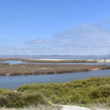
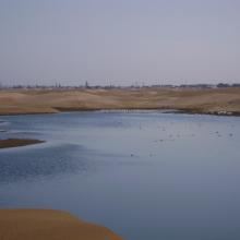
  4. Sitio Ramsar Limarí: Desembocadura Rio Limarí, desde Salala hasta su desembocadura, Región de Coquimbo, Chile. Vista de la amplitud del humedal, sus usos tradicionales y el contraste con su entorno semidesertico

    Humedal del río Limarí, desde Salala hasta su desembocadura

    • Country: 
      Chile
    • Designation date: 
      21-07-2020
    • Site number: 
      2424
    • Published since: 
      3 year(s)
    527 ha
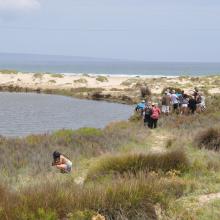
  5. Canal de marisma de pastos altos, sector occidental del Area Monkul.
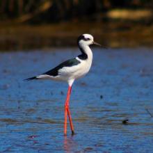
    “Perrito”, Himantopus mexicanus, habitante numeroso en los ambientes de marismas en el sector occidental del Área Monkul.
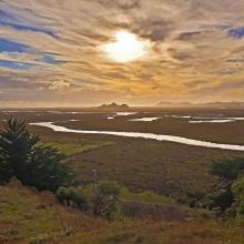
    Visión panorámica del sector occidental del sitio que colinda con las dunas de Playa Monkul; foto desde el Cerro Tren-Tren Monkul
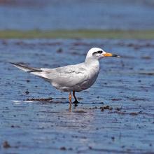
    “Gaviotín Piquerito”, Sterna trudeaui, especie poco numerosa que ocupa los fondos limosos de marismas. Sector Chomío, Area Monkul.
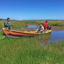
    Registrando fauna en el sector Mawida del Area Monkul.
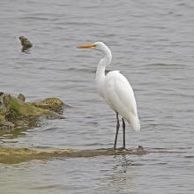
    “Garza Blanca Grande”, Ardea alba, en uno de sus posaderos habituales en el sector la Balsa del Area Monkul.
    Vegetación característica en la ribera de los canales de marismas, Area Monkul.
    “Coipo”, Myocastor coipus, roedor acuático y habitante numeroso de los ambientes de marismas y pajonales en el Area Monkul.
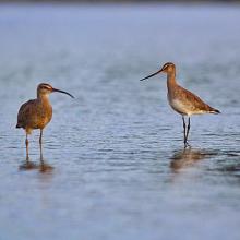
    “Zarapito Pico Curvo”, Numenius phaepus, y “Zarapito Pico Recto”, Limosa haemastica, dos especies migratorias neárticas que llegan cada primavera a los humedales de Monkul.
    “Playero Blanco”, Calidris alba, otra de las especies migratorias neárticas que llegan a Monkul cada primavera; ocupan playas marinas y sectores de marismas.
    “Gaviotín Elegante”, Thalasseus elegans, de hábitos gregarios, se le encuentra reposando o alimentándose en playas, estuarios y fondos intermareales del Area Monkul.
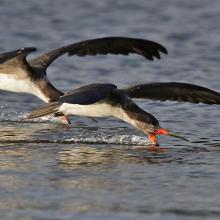
    “Rayador”, Rhynchops niger, alimentándosoe con su modo inconfunfible en aguas someras del estuario del Monkul en el sector la Balsa
    “Cisne de Cuello Negro”, Cygnus melancorhyphus, especie emblemática de los humedales costeros del sur de Chile por su gran belleza, tamaño y problematicas de conservación.. Sector Puyanque, Area Monkul.
    Gaviota Cáguil”, Larus maculipennis, una de las especies más abundantes en playas, estuarios y sectores intermareales de Monkul.
    “Pato Real”, Anas sibilatrix, una de las anátidas más numerosas que se reproduce en los diversos humedales de Monkul.
    “Chorlo Chileno”, Charadrius modestus, especie numerosa en playas y fondos limosos de los estuario y marismas del Area Monkul
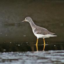
    “Pitotoi Grande”, Tringa melanoleuca”, especie migratoria neártica y una de las aves más numerosas en los ambientes limosos y fangosos de las marismas del Area Monkul.
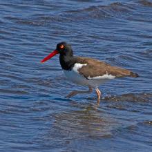
    “Pilpilén”, Haematopus palliatus, presente en playas marinas, estuarios y ambientes intermareales del Area Monkul.
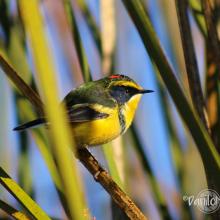
    “Siete Colores”, Tachuris rubrigastra, pequeño y hermoso habitante característico de los ambientes con pajonales en todas las áreas de los Humedales de Monkul.
    Run-Run” (hembra), Hymenops perspicillatus”, otro de los pequeños habitantes típicos de los ambientes con pajonales en todas las áreas de los Humedales de Monkul.

    Humedales de Monkul

    • Country: 
      Chile
    • Designation date: 
      22-05-2020
    • Site number: 
      2423
    • Published since: 
      3 year(s)
    1,380 ha
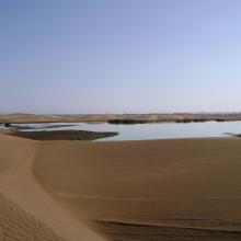
  6. The new sewage settling ponds in the dunes to the east of Walvis Bay (not part of the Ramsar site).
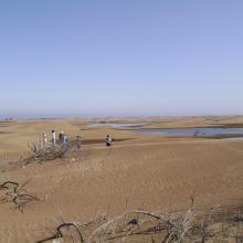
    Counting birds at the new sewage settling ponds.
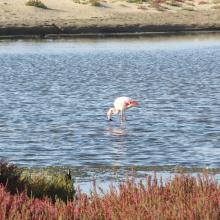
    Flamingos and other waders at the new sewage settling ponds with the town of Walvis Bay in the background.
    Flamingos and waders in the Walvis Bay lagoon.
    The Walvis Bay salt works are within the Ramsar site.
     "Bird Paradise" sewage settling ponds (not part of the Ramsar site).  These have since been drained because of an alleged mosquito problem.
    View across the Walvis Bay lagoon, looking west.

    Walvis Bay

    • Country: 
      Namibia
    • Designation date: 
      23-08-1995
    • Site number: 
      742
    • Published since: 
      28 year(s)
    12,600 ha
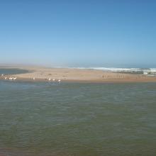
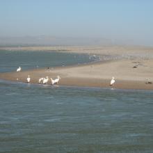
  7. The Orange River Mouth from the Namibian side looking south.  Pelicans, cormorants and large flocks of terns are using the sandspit as a roost.
    Great White Pelicans (Pelecanus onocrotalus) and large flocks of terns (Sterna sp.) at the Orange River Mouth.
    View of the Orange River Mouth from Swartkop looking west.  The river mouth is in the centre of the picture.
    View of the Oppenheimer bridge from Swartkop.

    Orange River Mouth

    • Country: 
      Namibia
    • Designation date: 
      23-08-1995
    • Site number: 
      744
    • Published since: 
      28 year(s)
    500 ha
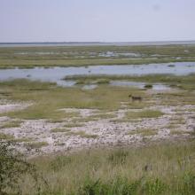
  8. Lioness on the eastern edge of Etosha Pan near Namutoni.  Exceptionally high rainfall in Angola and northern Namibia resulted in the pan filling up.
    The old fort at Namutoni with Fischer's Pan in the foreground, eastern Etosha.
    Giraffe on the edge of Fischer's Pan, eastern Etosha.
    Causeway across Fischer's Pan flooded by exceptionally high water levels.
    Ephemeral waterhole formed during the rainy season.
    View of the eastern edge of Etosha Pan near Namutoni.
    View of the eastern edge of Etosha Pan near Namutoni.
    Blue Cranes on the edge of Etosha Pan near Doringdraai, eastern Etosha.

    Etosha Pan

    • Country: 
      Namibia
    • Designation date: 
      23-08-1995
    • Site number: 
      745
    • Published since: 
      28 year(s)
    600,000 ha
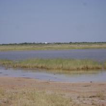
  9. View across the lagoon at low tide, looking north-west.
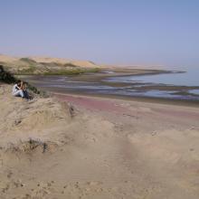
    Looking south along the edge of the lagoon.
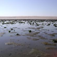
    Musselbeds on the mudflats, looking east.
    Musselbeds on the mudflats, looking east.
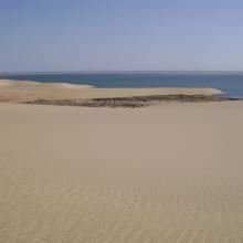
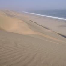
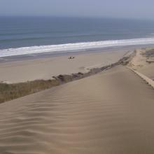
    View across the lagoon from the adjacent dunes, looking south-west.
    Remains of the northern, freshwater wetland, looking south.
    Remains of the northern, freshwater wetland, looking south.

    Sandwich Harbour

    • Country: 
      Namibia
    • Designation date: 
      23-08-1995
    • Site number: 
      743
    • Published since: 
      28 year(s)
    16,500 ha

Stats


Exports

Export Sites information

For a summary list of all the Ramsar Sites in pdf format, click here.

Generate reports of selected Sites

You can generate a report based on the filters you have applied, in either pdf or xls format. The report will sort the results by the Site name, unless you have sorted them by another variable.

For the pdfs, you can choose whether to include the introductory text on each Site, or just show the key data in a shorter report.

To receive a report, please provide your email address and enter the text in the verification picture into the textbox.

As soon as the list has been generated an e-mail will be sent to you with the link to access the file.