Search results

Map

Choose map: | | Download Centroids / Boundaries / Map (pdf)
Materials presented on this website, particularly maps and territorial information, are as-is and as-available based on available data and do not imply the expression of any opinion whatsoever on the part of the Secretariat of the Ramsar Convention concerning the legal status of any country, territory, city or area, or of its authorities, or concerning the delimitation of its frontiers or boundaries.

List

  1. West Ginini
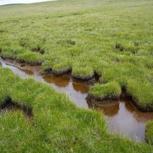
    Peat flow

    Ginini Flats Subalpine Bog Complex

    • Country: 
      Australia
    • Designation date: 
      01-03-1996
    • Site number: 
      793
    • Published since: 
      5 year(s)
    350 ha
  2. Paroo Mound Spring
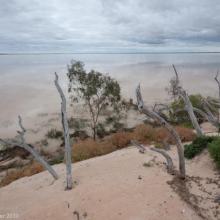
    Paroo Mound Spring
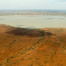
    Aerial view of Peery Lake from north to south down western side
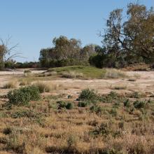
    King Charlie Waterhole, Nocoleche Nature Reserve
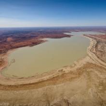
    Aerial view of Peery Lake
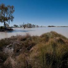
    Peery Lake shoreline

    Paroo River Wetlands

    • Country: 
      Australia
    • Designation date: 
      13-09-2007
    • Site number: 
      1716
    • Published since: 
      1 year(s)
    138,304 ha
  3. Wetland landscape of permanent freshwater marshes
    Wetland landscape of permanent freshwater marshes
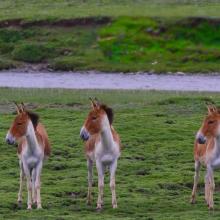
    Equus kiang
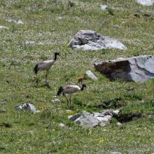
     Grus nigricollis
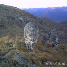
    Uncia uncia
      Lake wetland landscape

    Sichuan Changshagongma Wetlands

    • Country: 
      China
    • Designation date: 
      08-01-2018
    • Site number: 
      2348
    • Published since: 
      5 year(s)
    669,800 ha
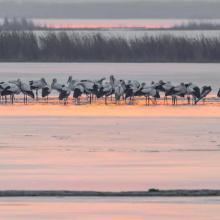
  4. Cygnus columbianus
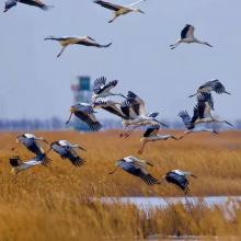
    Ciconia boyciana
    Ciconia boyciana
    Grus grus

    Tianjin Beidagang Wetlands

    • Country: 
      China
    • Designation date: 
      03-02-2020
    • Site number: 
      2425
    • Published since: 
      3 year(s)
    1,130 ha
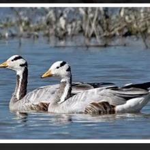
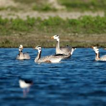
  5. A pair of bar-headed goose at Bakhira
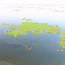
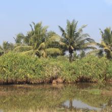
    Bird's eye view of Bakhira Wetland
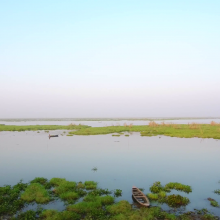
    Panoramic view of Bakhira wetland
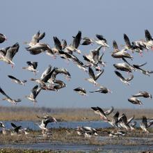
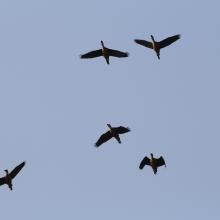
    Flock of birds at Bakhira wildlife sanctuary
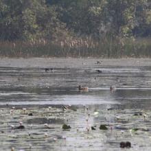
    Ferruginous ducks at Bakhira Wildlife Sanctuary
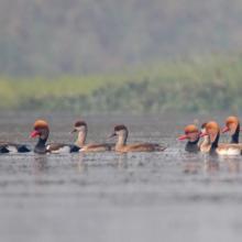
    Raft of Red-crested Pochards at Bakhira Wildlife Sanctuary
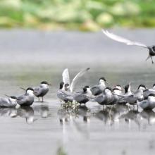
    Congregation of Gull-billed terns at Bakhira wildlife sanctuary

    Bakhira Wildlife Sanctuary

    • Country: 
      India
    • Designation date: 
      29-06-2021
    • Site number: 
      2465
    • Published since: 
      2 year(s)
    2,894 ha
  6. Landscape shot of Haiderpur wetland
    Grey-lag goose in Haiderpur wetland
    Barheaded goose in Haiderpur
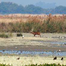
    Swamp deer in Haiderpur wetland
    Haiderpur Wetland
    Haiderpur wetland

    Haiderpur Wetland

    • Country: 
      India
    • Designation date: 
      13-04-2021
    • Site number: 
      2463
    • Published since: 
      2 year(s)
    6,908 ha
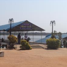
  7. Boating Facility at Tampara Lake
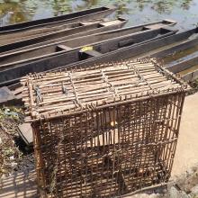
    Fishing Net & Boats at Tampara lake
    Wetland surface
    Adjacent vegetation
    Wetland surface
    Birds above the wetland

    Tampara Lake

    • Country: 
      India
    • Designation date: 
      12-10-2021
    • Site number: 
      2489
    • Published since: 
      1 year(s)
    300 ha
  8. View of Bujagh-Caspian sea
    Flock of Vanellus gregarius (Sociable Lapwing)
    Anser anser in Bujagh wetland

    Bujagh National Park

    • Country: 
      Iran (Islamic Republic of)
    • Designation date: 
      23-06-1975
    • Site number: 
      46
    • Published since: 
      1 year(s)
    3,433 ha
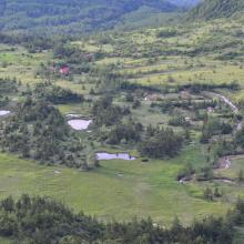
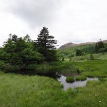
  9. Overview of Yoshigadaira moor
    Yoshigadaira moor ponds
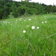
    Eriopqhorum vaginatum in Yoshigadaira
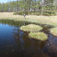
    Odaira moor pond
    Odaira moor pond
    Asian skunk cabbage (Lysichiton camtschatcense)
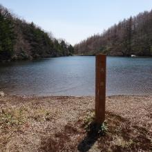
    Heibeeike pond
    Oike pond
    Mizu-ike pond
    Mt. Kusatsu-Shirane
    Yugama crator lake
    Solfatara plants
    Anajigoku Overview
    Anajigoku (Jungermannia volcanicola communities)
    Anajigoku (Jungermannia volcanicola communities)
    Forest Green Tree Frogs at Heibee pond

    Yoshigadaira Wetlands

    • Country: 
      Japan
    • Designation date: 
      28-05-2015
    • Site number: 
      2233
    • Published since: 
      8 year(s)
    887 ha
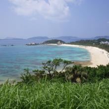
  10. 1. Overview of Furuzamami beach in Zamami Island
    2. Overview west coast of Aka Island
    3. Overview north coast of Geruma Island
    4. Overview of Aharen beach in Tokashiki Island
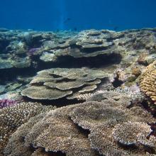
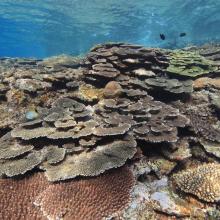
    5. Coral reef in Zamami Island
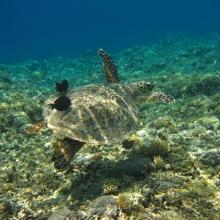
    6. Green turtle in Zamami Island
    7. Coral reef in Tokashiki islad
    8. Threadfin red bass in Zamami Island

    Keramashoto Coral Reef

    • Country: 
      Japan
    • Designation date: 
      08-11-2005
    • Site number: 
      1546
    • Published since: 
      8 year(s)
    8,290 ha

Pages

Stats


Exports

Export Sites information

For a summary list of all the Ramsar Sites in pdf format, click here.

Generate reports of selected Sites

You can generate a report based on the filters you have applied, in either pdf or xls format. The report will sort the results by the Site name, unless you have sorted them by another variable.

For the pdfs, you can choose whether to include the introductory text on each Site, or just show the key data in a shorter report.

To receive a report, please provide your email address and enter the text in the verification picture into the textbox.

As soon as the list has been generated an e-mail will be sent to you with the link to access the file.