Search results
Search found 191 Ramsar Sites covering 61,592,179 ha
- (-) Remove Ramsar criteria: 6 filter Ramsar criteria: 6
- (-) Remove Ecosystem services: Provisioning Services filter Ecosystem services: Provisioning Services
- (-) Remove Threats: Agriculture & aquaculture filter Threats: Agriculture & aquaculture
- (-) Remove Sites on Montreux record?: No filter Sites on Montreux record?: No
- (-) Remove Ecosystem services: Wetland non-food products filter Ecosystem services: Wetland non-food products
- (-) Remove Ramsar criteria: 1 filter Ramsar criteria: 1
Map
Materials presented on this website, particularly maps and territorial information, are as-is and as-available based on available data and do not imply the expression of any opinion whatsoever on the part of the Secretariat of the Ramsar Convention concerning the legal status of any country, territory, city or area, or of its authorities, or concerning the delimitation of its frontiers or boundaries.
List
-

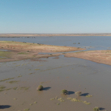
Khor Abu Habil Inner Delta
-
Country:Sudan
-
Designation date:10-04-2022
-
Site number:2485
-
Published since:1 year(s)
946,409 ha -
-
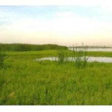
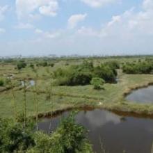
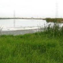
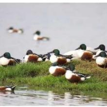
Pallikaranai Marsh Reserve Forest
-
Country:India
-
Designation date:08-04-2022
-
Site number:2481
-
Published since:1 year(s)
1,248 ha -
-
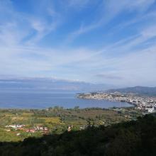
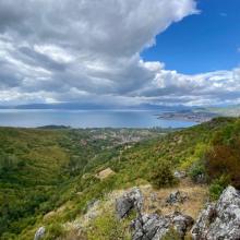

Lake Ohrid
-
Country:North Macedonia
-
Designation date:15-02-2021
-
Site number:2449
-
Published since:2 year(s)
25,205 ha -
-
Mangroves de la Baie d'Ambaro
-
Country:Madagascar
-
Designation date:20-08-2020
-
Site number:2438
-
Published since:3 year(s)
54,000 ha -
-
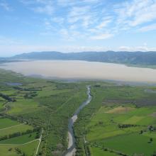
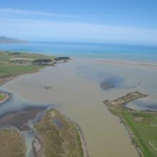
Wairarapa Moana Wetland
-
Country:New Zealand
-
Designation date:20-08-2020
-
Site number:2432
-
Published since:3 year(s)
10,547 ha -
-
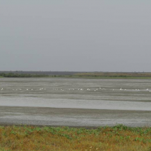
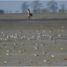
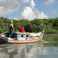
Nanthar Island and Mayyu Estuary
-
Country:Myanmar
-
Designation date:22-05-2020
-
Site number:2421
-
Published since:3 year(s)
3,608 ha -
-


Tibet Trari Nam Co Wetlands
-
Country:China
-
Designation date:03-02-2020
-
Site number:2430
-
Published since:3 year(s)
142,982 ha -
-
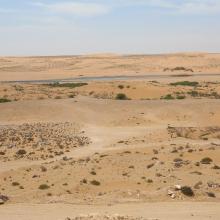
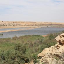
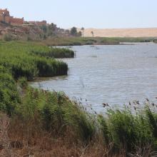
Oued Assaquia Al Hamra à La'youne
-
Country:Morocco
-
Designation date:16-04-2019
-
Site number:2382
-
Published since:4 year(s)
9,500 ha -
-

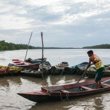
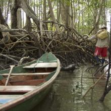
Amazon Estuary and its Mangroves
-
Country:Brazil
-
Designation date:19-03-2018
-
Site number:2337
-
Published since:5 year(s)
3,850,253 ha -
-


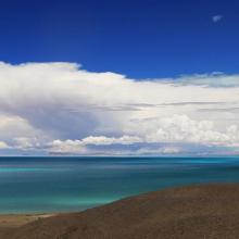
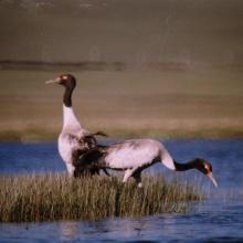
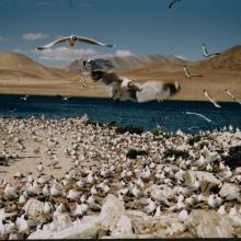
Tibet Selincuo Wetlands
-
Country:China
-
Designation date:08-01-2018
-
Site number:2352
-
Published since:5 year(s)
1,893,630 ha -


