Search results

Map

Choose map: | | Download Centroids / Boundaries / Map (pdf)
Materials presented on this website, particularly maps and territorial information, are as-is and as-available based on available data and do not imply the expression of any opinion whatsoever on the part of the Secretariat of the Ramsar Convention concerning the legal status of any country, territory, city or area, or of its authorities, or concerning the delimitation of its frontiers or boundaries.

List

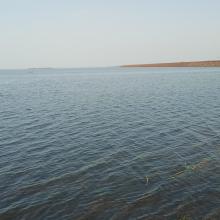
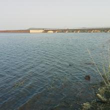
  1. Vue du plan d’eau du barrage
    Piroguiers dans le lac du barrage
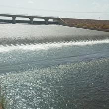
    Digue du barrage
    Zone inondée
    Vue de la zone humide
    Vue de la cuvette du barrage

    Barrage de Samandéni

    • Country: 
      Burkina Faso
    • Designation date: 
      27-10-2020
    • Site number: 
      2439
    • Published since: 
      3 year(s)
    68,202 ha
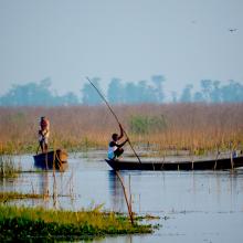
  2. A fisher within Nelumbo beds in Kabartal
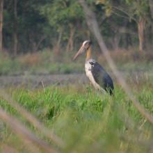
    A lesser adjutant in Kabartal
    Fishers at Kabartal

    Kabartal Wetland

    • Country: 
      India
    • Designation date: 
      21-07-2020
    • Site number: 
      2436
    • Published since: 
      3 year(s)
    2,620 ha
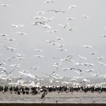
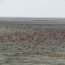
  3. Flock of Crab at Nanthar Island
    Habitat Type of Waterbirds, Nanthar Island
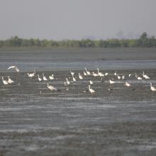
    Birds in northern part of Nanthar Island
    Birds and mangroves of Nanthar Island
    Habitat Type of Nanthar Island and Mayyu Estuary
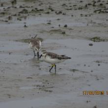
    Spoon-billed sandpiper found on the Nanthar Island

    Nanthar Island and Mayyu Estuary

    • Country: 
      Myanmar
    • Designation date: 
      22-05-2020
    • Site number: 
      2421
    • Published since: 
      3 year(s)
    3,608 ha
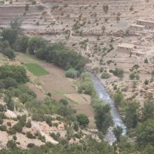
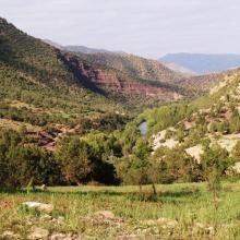
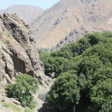
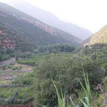
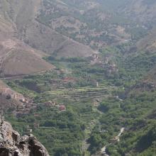
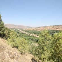
  4. Vallée aux versants boisés de l'Ahançal dans son bas cours
    Valeurs culturelles : gravures rupestres sur roche
    Valeurs culturelles : Grenier ancestral, suspendu dans une falaise
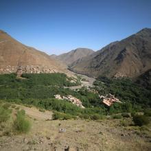
    Un des rares endroits où la vallée de l'Ahançal est ouverte : Tamga
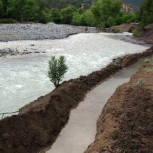
    Usages : seguia de dérivation artisanale de l'eau
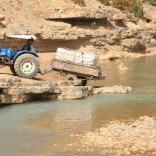
    Usages : Prélèvement d'eau pour usage domestique
    Singe magot dans son habitat, sur un versant de rive droite du bas oued Melloul

    Assifs Ahançal-Melloul

    • Country: 
      Morocco
    • Designation date: 
      22-05-2019
    • Site number: 
      2378
    • Published since: 
      4 year(s)
    1,385 ha
  5. A C
    A C
    A C
    A C
    A C
    A C

    Assifs Réghaya-Aït Mizane

    • Country: 
      Morocco
    • Designation date: 
      16-04-2019
    • Site number: 
      2371
    • Published since: 
      4 year(s)
    830 ha
  6. Agriculture en terrasses
    Gorges d'Imsfrane
    Haut Oued Mgoun
    Mgoun aval
    Source à truite
    Source en aval des gorges
    Truite du Dades

    Assif Mgoun

    • Country: 
      Morocco
    • Designation date: 
      16-04-2019
    • Site number: 
      2376
    • Published since: 
      4 year(s)
    1,400 ha
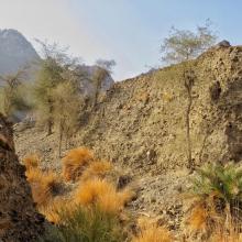
  7. Male Arabitragus jayakari
    Seasonaly flodded wadi
    Terrace with old settelment
    Typical wadi
    Hatta Dam

    Hatta Mountain Reserve

    • Country: 
      United Arab Emirates
    • Designation date: 
      09-01-2019
    • Site number: 
      2368
    • Published since: 
      5 year(s)
    2,100 ha
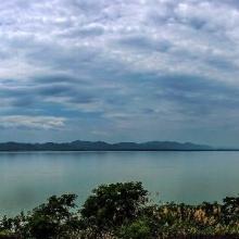
  8. The evening scene of Wanghu
    Fuhe River eocosystem
    Summer scenery of Wanghu
    Habitat of  Wuzhuazui

    Hubei Wang Lake

    • Country: 
      China
    • Designation date: 
      08-01-2018
    • Site number: 
      2349
    • Published since: 
      5 year(s)
    20,495 ha
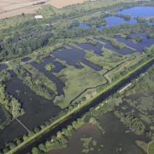
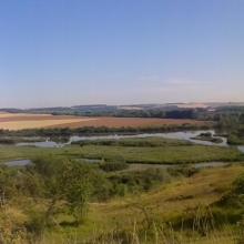
  9. Vallée de la Somme à l'aval d'Amiens
    Vallée de la Somme et canal entre Amiens et Abbeville
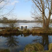
    Etangs de la Haute Somme depuis les hauteurs de Frise
    Belvédère de Frise au dessus des étangs de la Haute Somme
    Etangs et belvédère de Cléry/Somme

    Marais et tourbières des vallées de la Somme et de l’Avre

    • Country: 
      France
    • Designation date: 
      18-12-2017
    • Site number: 
      2322
    • Published since: 
      6 year(s)
    13,100 ha
  10. La rivière Lufira
    Le lac Tshangalele qui est dans le bassin de la lufira
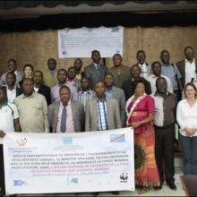
    La photo de l'atelier avec les autorités provinciales
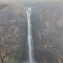
    Chutte de Lofoi

    Bassin de la Lufira

    • Country: 
      Democratic Republic of the Congo
    • Designation date: 
      31-10-2017
    • Site number: 
      2318
    • Published since: 
      6 year(s)
    4,470,993 ha

Pages

Stats


Exports

Export Sites information

For a summary list of all the Ramsar Sites in pdf format, click here.

Generate reports of selected Sites

You can generate a report based on the filters you have applied, in either pdf or xls format. The report will sort the results by the Site name, unless you have sorted them by another variable.

For the pdfs, you can choose whether to include the introductory text on each Site, or just show the key data in a shorter report.

To receive a report, please provide your email address and enter the text in the verification picture into the textbox.

As soon as the list has been generated an e-mail will be sent to you with the link to access the file.