Search results

Map

Choose map: | | Download Centroids / Boundaries / Map (pdf)
Materials presented on this website, particularly maps and territorial information, are as-is and as-available based on available data and do not imply the expression of any opinion whatsoever on the part of the Secretariat of the Ramsar Convention concerning the legal status of any country, territory, city or area, or of its authorities, or concerning the delimitation of its frontiers or boundaries.

List

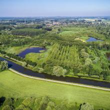
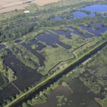
  1. Vue aérienne de la Scarpe et de la tourbière de Vred
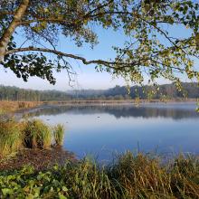
    Tourbière de Marchiennes
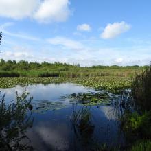
    Mare à Goriaux
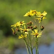
    Sénecio paludosus
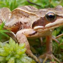
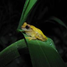
    Grenouille des champs, Rana arvalis

    Vallées de la Scarpe et de l'Escaut

    • Country: 
      France
    • Designation date: 
      02-02-2020
    • Site number: 
      2405
    • Published since: 
      4 year(s)
    27,622 ha
  2. Dnister River (vicinities of the city of Halych, site “Pidkamin”)
    The Dnister oxbow lake (vicinities of the city of Halych, site “Korolivka”)
    The Dnister oxbow lake (vicinities of the village of Vodnyky)
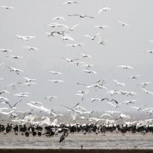
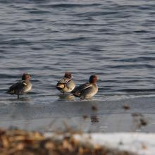
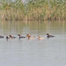
    Flock of common teal.
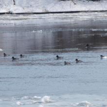
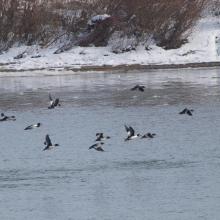
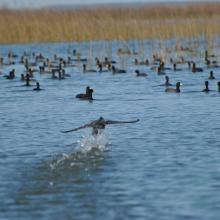
    Flock of common merganser.
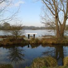
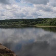
    Early spring on the Dnister.
    Early spring on the Dnister.
    Early spring on the Dnister.

    Dnister River Valley

    • Country: 
      Ukraine
    • Designation date: 
      20-03-2019
    • Site number: 
      2388
    • Published since: 
      4 year(s)
    820 ha
  3. The evening scene of Wanghu
    Fuhe River eocosystem
    Summer scenery of Wanghu
    Habitat of  Wuzhuazui

    Hubei Wang Lake

    • Country: 
      China
    • Designation date: 
      08-01-2018
    • Site number: 
      2349
    • Published since: 
      5 year(s)
    20,495 ha
  4. Vallée de la Somme à l'aval d'Amiens
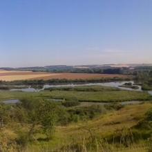
    Vallée de la Somme et canal entre Amiens et Abbeville
    Etangs de la Haute Somme depuis les hauteurs de Frise
    Belvédère de Frise au dessus des étangs de la Haute Somme
    Etangs et belvédère de Cléry/Somme

    Marais et tourbières des vallées de la Somme et de l’Avre

    • Country: 
      France
    • Designation date: 
      18-12-2017
    • Site number: 
      2322
    • Published since: 
      6 year(s)
    13,100 ha
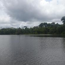
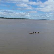
  5. Lagos de Tarapoto
    Río Amazonas en Puerto Nariño
    Armadillos
    Rana
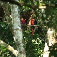
    Guacamayas en Puerto Nariño
    Pescador en Tipisca
    Mercado Puerto Nariño
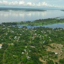
    Puerto Nariño
    San Juan de Atacuari
    Puerto Nariño
    Tarapoto

    Complejo de humedales Lagos de Tarapoto

    • Country: 
      Colombia
    • Designation date: 
      28-09-2017
    • Site number: 
      2336
    • Published since: 
      5 year(s)
    45,464 ha
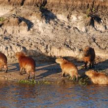
  6. Capybaras
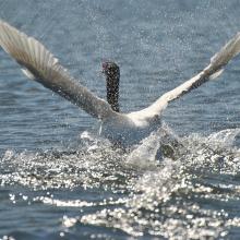
    Swan
    American coot

    Taim Ecological Station

    • Country: 
      Brazil
    • Designation date: 
      22-03-2017
    • Site number: 
      2298
    • Published since: 
      6 year(s)
    10,939 ha
  7. Ramsar logo

    Réserve Naturelle Communautaire de Tocc Tocc

    • Country: 
      Senegal
    • Designation date: 
      12-09-2013
    • Site number: 
      2199
    • Published since: 
      10 year(s)
    273 ha
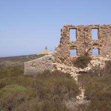
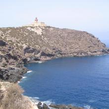
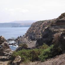
  8. île de Rachgoun
    île de Rachgoun
    île de Rachgoun
    île de Rachgoun
    île de Rachgoun
    île de Rachgoun
    île de Rachgoun

    Ile de Rachgoun

    • Country: 
      Algeria
    • Designation date: 
      05-06-2011
    • Site number: 
      1961
    • Published since: 
      6 year(s)
    66 ha
  9. Ramsar logo

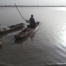
    Partie Camerounaise du Lac Tchad

    • Country: 
      Cameroon
    • Designation date: 
      02-02-2010
    • Site number: 
      1903
    • Published since: 
      14 year(s)
    12,500 ha
  10. Pêche pratiquée sur le lac Higa
    matériel de pêche et de transport sur le lac Higa
    prise de poisson dans le site Ramsar du lac Higa
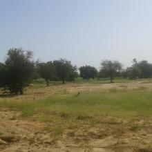
    Paysage autour du lac Higa
    Enclos de pisciculture dans le lac
    Paysage autour du lac Higa
    Végétation ripicole au bord du lac
    Bétail venant s'abreuver dans le lac
    Le lac Higa un lieu pour l'abreuvement des troupeaux
    Le lac Higa, un lieu de nidification de nombreuses espèces d'oiseaux

    Lac Higa

    • Country: 
      Burkina Faso
    • Designation date: 
      10-07-2009
    • Site number: 
      1883
    • Published since: 
      6 year(s)
    1,514 ha

Pages

Stats


Exports

Export Sites information

For a summary list of all the Ramsar Sites in pdf format, click here.

Generate reports of selected Sites

You can generate a report based on the filters you have applied, in either pdf or xls format. The report will sort the results by the Site name, unless you have sorted them by another variable.

For the pdfs, you can choose whether to include the introductory text on each Site, or just show the key data in a shorter report.

To receive a report, please provide your email address and enter the text in the verification picture into the textbox.

As soon as the list has been generated an e-mail will be sent to you with the link to access the file.