Search results
Search found 163 Ramsar Sites covering 4,915,798 ha
- (-) Remove Sites on Montreux record?: No filter Sites on Montreux record?: No
- (-) Remove Threats: Human intrusions & disturbance filter Threats: Human intrusions & disturbance
- (-) Remove Max elevation (in meters): 0 - 499 filter Max elevation (in meters): 0 - 499
- (-) Remove Wetland type: Human-made wetlands filter Wetland type: Human-made wetlands
- (-) Remove Transboundary Site: No filter Transboundary Site: No
- (-) Remove Wetland type: 9: Canals and drainage channels or ditches filter Wetland type: 9: Canals and drainage channels or ditches
- (-) Remove Wetland type: 1: Aquaculture ponds filter Wetland type: 1: Aquaculture ponds
Map
Materials presented on this website, particularly maps and territorial information, are as-is and as-available based on available data and do not imply the expression of any opinion whatsoever on the part of the Secretariat of the Ramsar Convention concerning the legal status of any country, territory, city or area, or of its authorities, or concerning the delimitation of its frontiers or boundaries.
List
-

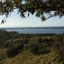

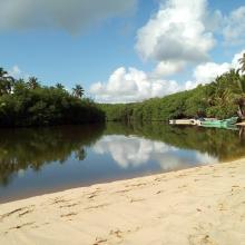
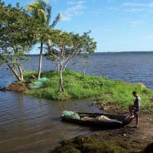
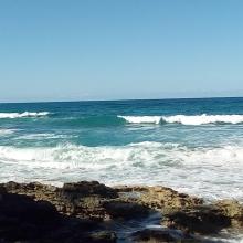
Refugio de Vida Silvestre Laguna Redonda y Limón (Los Humedales del Refugio de Vida Silvestre Laguna Redonda y Limón, Miches y Ria Maimón)
-
Country:Dominican Republic
-
Designation date:13-10-2022
-
Site number:2498
-
Published since:1 year(s)
5,754 ha -
-
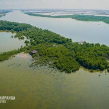


Sasmuan Pampanga Coastal Wetlands
-
Country:Philippines
-
Designation date:02-02-2021
-
Site number:2445
-
Published since:3 year(s)
3,667 ha -
-
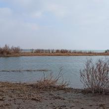
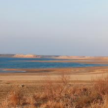
Tudakul and Kuymazar Water Reservoirs
-
Country:Uzbekistan
-
Designation date:19-08-2020
-
Site number:2433
-
Published since:3 year(s)
32,000 ha -
-
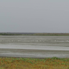
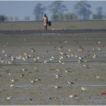
Nanthar Island and Mayyu Estuary
-
Country:Myanmar
-
Designation date:22-05-2020
-
Site number:2421
-
Published since:3 year(s)
3,608 ha -
-
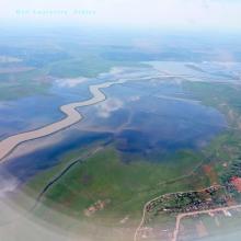
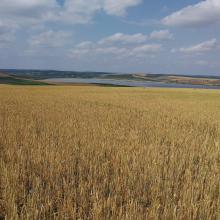
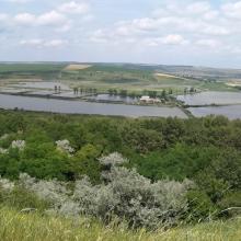
Jijia - Iasi Wetlands
-
Country:Romania
-
Designation date:13-02-2020
-
Site number:2422
-
Published since:3 year(s)
19,432 ha -
-
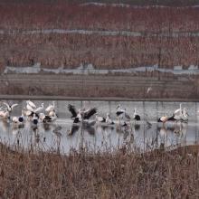

Henan Minquan Yellow River Gudao Wetlands
-
Country:China
-
Designation date:03-02-2020
-
Site number:2426
-
Published since:3 year(s)
2,304 ha -
-
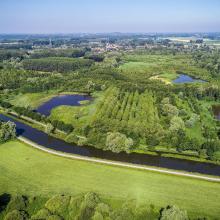
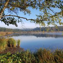
Vallées de la Scarpe et de l'Escaut
-
Country:France
-
Designation date:02-02-2020
-
Site number:2405
-
Published since:4 year(s)
27,622 ha -
-


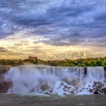
Niagara River Corridor
-
Country:United States of America
-
Designation date:03-10-2019
-
Site number:2402
-
Published since:4 year(s)
5,248 ha -
-
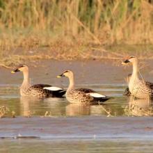


Keshopur-Miani Community Reserve
-
Country:India
-
Designation date:26-09-2019
-
Site number:2414
-
Published since:4 year(s)
344 ha -
-
Etang de Saint-Paul
-
Country:France (outre-mer)
-
Designation date:15-07-2019
-
Site number:2398
-
Published since:4 year(s)
485 ha -

