Search results
Search found 22 Ramsar Sites covering 1,230,269 ha
- (-) Remove Wetland type: Inland wetlands filter Wetland type: Inland wetlands
- (-) Remove Ramsar criteria: 7 filter Ramsar criteria: 7
- (-) Remove Management plan available: Yes filter Management plan available: Yes
- (-) Remove Wetland type: W: Shrub-dominated wetlands filter Wetland type: W: Shrub-dominated wetlands
- (-) Remove Threats: Human settlements (non agricultural) filter Threats: Human settlements (non agricultural)
- (-) Remove Threats: Commercial and industrial areas filter Threats: Commercial and industrial areas
Map
Materials presented on this website, particularly maps and territorial information, are as-is and as-available based on available data and do not imply the expression of any opinion whatsoever on the part of the Secretariat of the Ramsar Convention concerning the legal status of any country, territory, city or area, or of its authorities, or concerning the delimitation of its frontiers or boundaries.
List
-
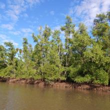
Mangroves de la Baie d'Ambaro
-
Country:Madagascar
-
Designation date:20-08-2020
-
Site number:2438
-
Published since:3 year(s)
54,000 ha -
-
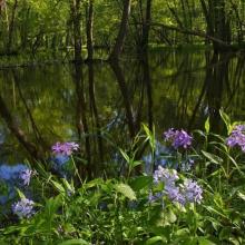
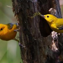
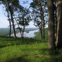
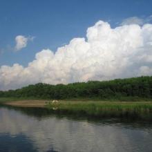
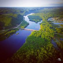
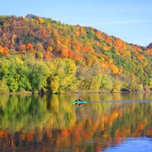
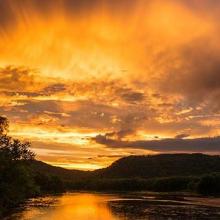
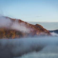
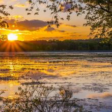
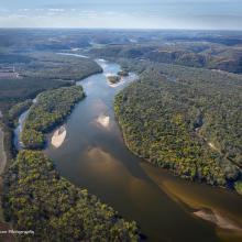
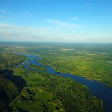

Lower Wisconsin Riverway
-
Country:United States of America
-
Designation date:14-02-2020
-
Site number:2417
-
Published since:3 year(s)
17,700 ha -
-


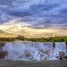
Niagara River Corridor
-
Country:United States of America
-
Designation date:03-10-2019
-
Site number:2402
-
Published since:4 year(s)
5,248 ha -
-

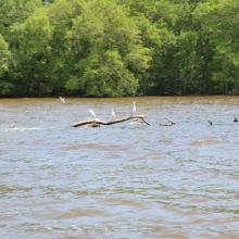
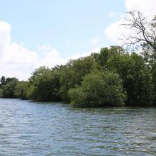
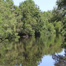
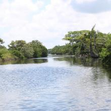
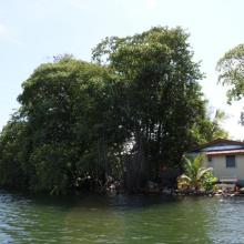


Sistema de Humedal Laguna de Alvarado
-
Country:Honduras
-
Designation date:02-02-2019
-
Site number:2418
-
Published since:4 year(s)
13,846 ha -
-


Complejo de Humedales del Alto Rio Cauca Asociado a la Laguna de Sonso
-
Country:Colombia
-
Designation date:14-02-2017
-
Site number:2403
-
Published since:4 year(s)
5,525 ha -
-

Koviljsko-Petrovaradinski Rit
-
Country:Serbia
-
Designation date:08-03-2012
-
Site number:2028
-
Published since:12 year(s)
8,292 ha -
-
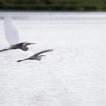
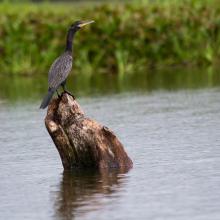
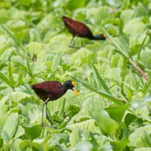
Laguna de Olomega
-
Country:El Salvador
-
Designation date:02-02-2010
-
Site number:1899
-
Published since:2 year(s)
7,557 ha -
-

Humbug Marsh
-
Country:United States of America
-
Designation date:20-01-2010
-
Site number:1928
-
Published since:14 year(s)
188 ha -
-

Vlasina
-
Country:Serbia
-
Designation date:13-11-2007
-
Site number:1738
-
Published since:16 year(s)
3,209 ha -
-

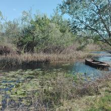


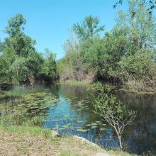
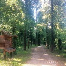

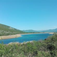

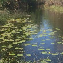
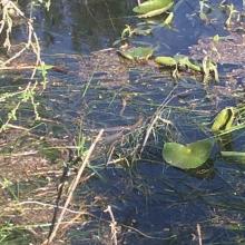

Hutovo Blato
-
Country:Bosnia and Herzegovina
-
Designation date:24-09-2001
-
Site number:1105
-
Published since:4 year(s)
7,824 ha -

