Search results

Map

Choose map: | | Download Centroids / Boundaries / Map (pdf)
Materials presented on this website, particularly maps and territorial information, are as-is and as-available based on available data and do not imply the expression of any opinion whatsoever on the part of the Secretariat of the Ramsar Convention concerning the legal status of any country, territory, city or area, or of its authorities, or concerning the delimitation of its frontiers or boundaries.

List

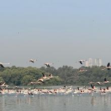
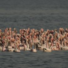
  1. Flamingoes in Thane creek
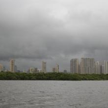
    Mangroves and City
    congregation of Lesser flamingoes
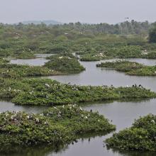
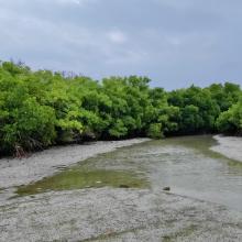
    Mangroves of Thane creek
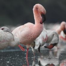
    Closeup view

    Thane Creek

    • Country: 
      India
    • Designation date: 
      13-04-2022
    • Site number: 
      2490
    • Published since: 
      1 year(s)
    6,521 ha
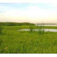
  2. panoramic view of Pallikaranai Marsh
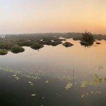
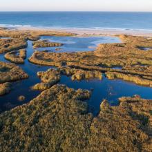
    Ariel View of Pallikaranai Marsh
    Pallikaranai Marsh
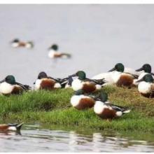
    Northern Shoveler

    Pallikaranai Marsh Reserve Forest

    • Country: 
      India
    • Designation date: 
      08-04-2022
    • Site number: 
      2481
    • Published since: 
      1 year(s)
    1,248 ha
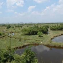
  3. Panoramic view of the Vedanthangal
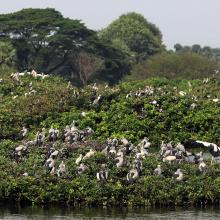
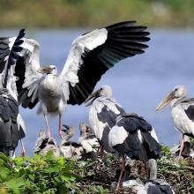
    Nesting grounds in Vedanthangal
    Foraging ground in Vedanthangal
    Panoramic view of the Vedanthangal

    Vedanthangal Bird Sanctuary

    • Country: 
      India
    • Designation date: 
      08-04-2022
    • Site number: 
      2477
    • Published since: 
      1 year(s)
    40 ha
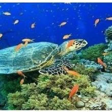
  4. Olive ridley Turtle, corals
    Sea Grass over shallow water surface
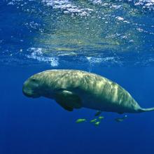
    Dugong
    Panoramic view of Gulf of Mannar Marine Biosphere Reserve
    Mangrove cover in Mannar Biosphere Reserve

    Gulf of Mannar Marine Biosphere Reserve

    • Country: 
      India
    • Designation date: 
      08-04-2022
    • Site number: 
      2472
    • Published since: 
      1 year(s)
    52,672 ha
  5. The Takaono River estuary:
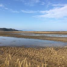
Tidal flats with sand and mud deposits are inhabited by many organisms, including birds.
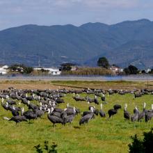
    Hooded Cranes foraging in front of Mt. Yahazu, located in the northeastern part of Izumi Plain.
    Paddy fields in winter across the Izumi Plain:
Many cranes forage during the day, and at night, they roost in groups in paddy fields filled with water for their roosting ground.

    Izumi Wintering Habitat of Cranes

    • Country: 
      Japan
    • Designation date: 
      18-11-2021
    • Site number: 
      2462
    • Published since: 
      2 year(s)
    478 ha
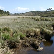
  6. Roselière de Trunvel
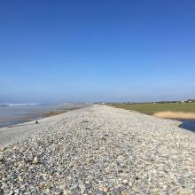
    Cordon de galets à Plovan "Ero vili"
    Queue d'étang de Trunvel
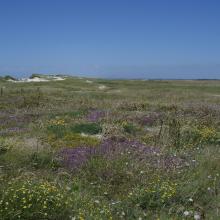
    Dune grise

    Baie d'Audierne

    • Country: 
      France
    • Designation date: 
      04-09-2021
    • Site number: 
      2460
    • Published since: 
      2 year(s)
    2,396 ha
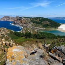
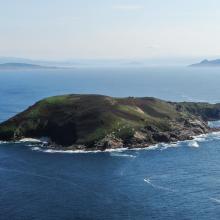
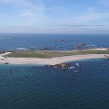
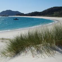
  7. Isla de Cíes. Playa con Amophila arenaria
    Isla de Cíes. Laguna costera
    Isla de Cíes. Percebes
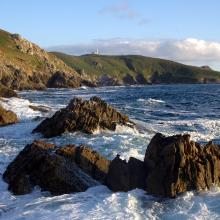
    Isla de Ons. Acantilados costeros
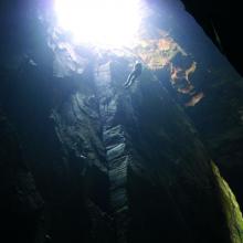
    Isla de Ons. Cuevas de Gavotos
    Isla de Ons. Cueva Burato do Inferno
    Isla de Ons. Camino con sauces
    Isla de Sálvora. Panorámica
    Isla de Sálvora. Aldea
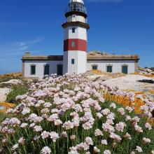
    Isla de Sálvora. Faro y Armeria en flor
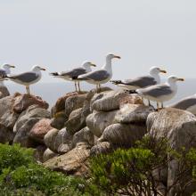
    Isla de Sálvora. Gaviotas patiamarillas
    Isla de Cortegada. Panorámica
    Isla de Cortegada. Bosque
    Isla de Onza. Panorámica
    Isla de Vionta. Panorámica
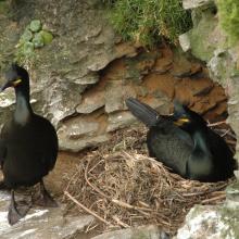
    Pareja de cormorán moñudo (PN Marítimo-Terrestre de las Islas Atlánticas de Galicia)
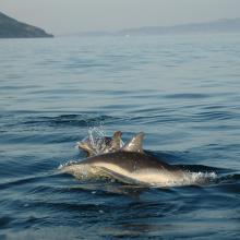
    Delphinus delphis (PN Marítimo-Terrestre de las Islas Atlánticas de Galicia)

    Parque Nacional Marítimo-Terrestre de las Islas Atlánticas de Galicia

    • Country: 
      Spain
    • Designation date: 
      22-05-2021
    • Site number: 
      2453
    • Published since: 
      2 year(s)
    8,543 ha
  8. Janghang at high tide
    A group of bean geese
    Red-foot Crab
    Red-foot Crab
    A group of black-faced spoonbill
    A colony of Scirpus planiculmis

    Janghang Wetland

    • Country: 
      Republic of Korea
    • Designation date: 
      21-05-2021
    • Site number: 
      2448
    • Published since: 
      2 year(s)
    596 ha
  9. Site de nidification et de gagnage des sternes caspiennes
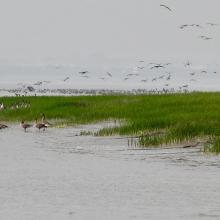
    Vu d'ensemble de la langue de Barbarie
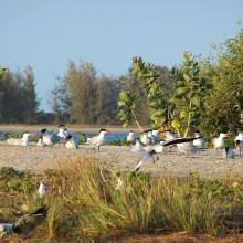
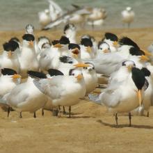
    Colonie des Sternes royales
    Colonie de Sterne Caspienne en vol
    Un des écosystèmes remarquables du parc
    Un des écosystèmes remarquables du parc
    Singe vert un des mammifères du Parc
    Un des écosystèmes remarquables du parc
    Un des écosystèmes remarquables du parc
    Embarcadère du parc
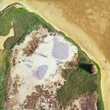
    Vu aérienne du parc
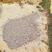
    Vu aérienne des colonies nicheuses
    Hydrologie du parc

    Parc National de la Langue de Barbarie

    • Country: 
      Senegal
    • Designation date: 
      07-04-2021
    • Site number: 
      2467
    • Published since: 
      2 year(s)
    2,000 ha
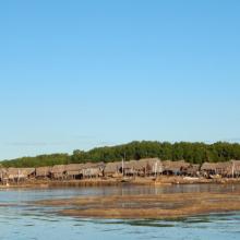
  10. Village d'Ankazomborona et mangroves dans la Baie d'Ambaro
    Mangroves le long du chenal
    Zone de restauration
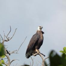
    Haliaeetus vociferoides
    Anas bernieri
    Ardea humbloti
    Peuplement de Sterna bengalensis
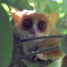
    Microcebus sambiranensis
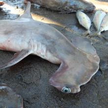
    Shpyrna mokarran
    Village de pêcheurs
    Femme pêcheur
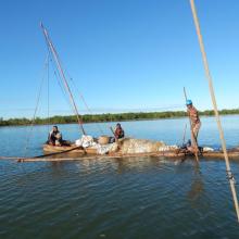
    Pêcheurs

    Mangroves de la Baie d'Ambaro

    • Country: 
      Madagascar
    • Designation date: 
      20-08-2020
    • Site number: 
      2438
    • Published since: 
      3 year(s)
    54,000 ha

Pages

Stats


Exports

Export Sites information

For a summary list of all the Ramsar Sites in pdf format, click here.

Generate reports of selected Sites

You can generate a report based on the filters you have applied, in either pdf or xls format. The report will sort the results by the Site name, unless you have sorted them by another variable.

For the pdfs, you can choose whether to include the introductory text on each Site, or just show the key data in a shorter report.

To receive a report, please provide your email address and enter the text in the verification picture into the textbox.

As soon as the list has been generated an e-mail will be sent to you with the link to access the file.