Search results
Search found 65 Ramsar Sites covering 20,288,675 ha
- (-) Remove Ecosystem services: Regulating Services filter Ecosystem services: Regulating Services
- (-) Remove Ramsar criteria: 6 filter Ramsar criteria: 6
- (-) Remove Sites on Montreux record?: No filter Sites on Montreux record?: No
- (-) Remove Wetland type: Inland wetlands filter Wetland type: Inland wetlands
- (-) Remove Ecosystem services: Hazard reduction filter Ecosystem services: Hazard reduction
- (-) Remove Wetland type: M: Permanent rivers/ streams/ creeks filter Wetland type: M: Permanent rivers/ streams/ creeks
- (-) Remove Ramsar criteria: 4 filter Ramsar criteria: 4
- (-) Remove Max elevation (in meters): 0 - 499 filter Max elevation (in meters): 0 - 499
- (-) Remove Threats: Human settlements (non agricultural) filter Threats: Human settlements (non agricultural)
Map
Materials presented on this website, particularly maps and territorial information, are as-is and as-available based on available data and do not imply the expression of any opinion whatsoever on the part of the Secretariat of the Ramsar Convention concerning the legal status of any country, territory, city or area, or of its authorities, or concerning the delimitation of its frontiers or boundaries.
List
-
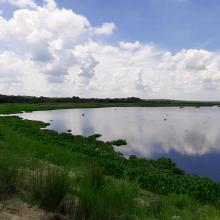
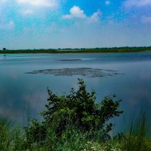
Haiderpur Wetland
-
Country:India
-
Designation date:13-04-2021
-
Site number:2463
-
Published since:2 year(s)
6,908 ha -
-
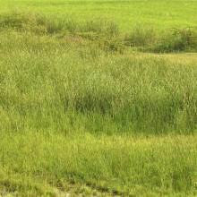


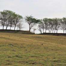
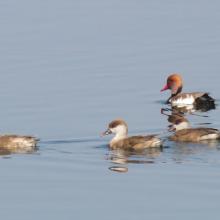
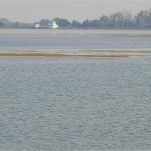
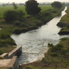
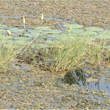


Wadhvana Wetland
-
Country:India
-
Designation date:05-04-2021
-
Site number:2454
-
Published since:2 year(s)
630 ha -
-
Mangroves de la Baie d'Ambaro
-
Country:Madagascar
-
Designation date:20-08-2020
-
Site number:2438
-
Published since:3 year(s)
54,000 ha -
-
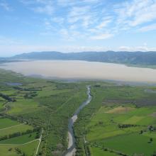
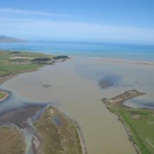
Wairarapa Moana Wetland
-
Country:New Zealand
-
Designation date:20-08-2020
-
Site number:2432
-
Published since:3 year(s)
10,547 ha -
-
Nanthar Island and Mayyu Estuary
-
Country:Myanmar
-
Designation date:22-05-2020
-
Site number:2421
-
Published since:3 year(s)
3,608 ha -
-


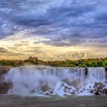
Niagara River Corridor
-
Country:United States of America
-
Designation date:03-10-2019
-
Site number:2402
-
Published since:4 year(s)
5,248 ha -
-
Dnister River Valley
-
Country:Ukraine
-
Designation date:20-03-2019
-
Site number:2388
-
Published since:4 year(s)
820 ha -
-
Marais Breton, Baie de Bourgneuf, Ile de Noirmoutier et Forêt de Monts
-
Country:France
-
Designation date:02-02-2017
-
Site number:2283
-
Published since:7 year(s)
55,826 ha -
-
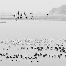
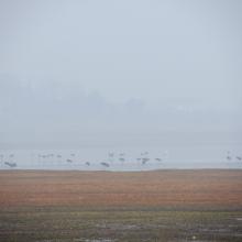

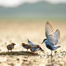
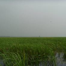
Anhui Shengjin Lake National Nature Reserve
-
Country:China
-
Designation date:16-10-2015
-
Site number:2248
-
Published since:8 year(s)
33,340 ha -
-

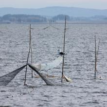
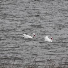


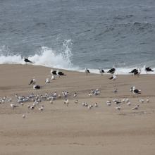

Laguna de Rocha
-
Country:Uruguay
-
Designation date:05-06-2015
-
Site number:2236
-
Published since:8 year(s)
10,933 ha -


