Search results

Map

Choose map: | | Download Centroids / Boundaries / Map (pdf)
Materials presented on this website, particularly maps and territorial information, are as-is and as-available based on available data and do not imply the expression of any opinion whatsoever on the part of the Secretariat of the Ramsar Convention concerning the legal status of any country, territory, city or area, or of its authorities, or concerning the delimitation of its frontiers or boundaries.

List

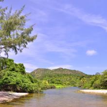
  1. Desembocadura de rió en Playa El Soldado
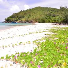
    Playa El Soldado
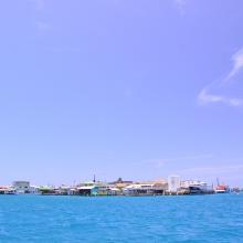
    Cayo Bonacca
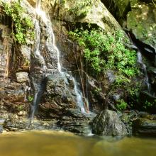
    Island House Waterfall
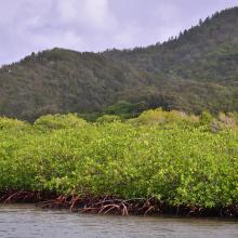
    Vista del manglar y montaña de pino desde el canal
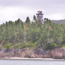
    El Faro sobre la cima de un cerro de pinos

    Sistema de Humedales de la Isla de Guanaja

    • Country: 
      Honduras
    • Designation date: 
      25-10-2021
    • Site number: 
      2456
    • Published since: 
      2 year(s)
    13,148 ha
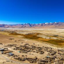
  2. Aerial View of the Tso Kar basin.
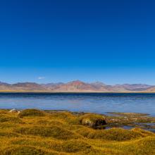
    Panoramic view of the freshwater lake of Startsapuk Tso, situated in the Tso Kar basin.
    Close up of Startsapuk Tso.
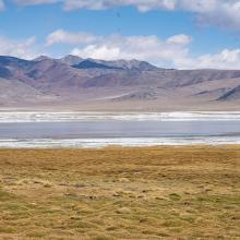
    White salt efflorescence on the  bank of Tso Kar.
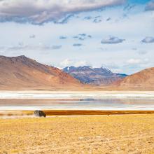
    A car passes along the road next to Tso Kar, leading to the village of Thukje.
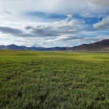
    Pasturelands in the Tso Kar basin, during the short summer season.

    Tso Kar Wetland Complex

    • Country: 
      India
    • Designation date: 
      17-11-2020
    • Site number: 
      2443
    • Published since: 
      3 year(s)
    9,577 ha
  3. Vue du plan d’eau du barrage
    Piroguiers dans le lac du barrage
    Digue du barrage
    Zone inondée
    Vue de la zone humide
    Vue de la cuvette du barrage

    Barrage de Samandéni

    • Country: 
      Burkina Faso
    • Designation date: 
      27-10-2020
    • Site number: 
      2439
    • Published since: 
      3 year(s)
    68,202 ha
  4. Sitio Ramsar Limarí: Desembocadura Rio Limarí, desde Salala hasta su desembocadura, Región de Coquimbo, Chile. Vista de la amplitud del humedal, sus usos tradicionales y el contraste con su entorno semidesertico

    Humedal del río Limarí, desde Salala hasta su desembocadura

    • Country: 
      Chile
    • Designation date: 
      21-07-2020
    • Site number: 
      2424
    • Published since: 
      3 year(s)
    527 ha
  5. Nangal wetland
    Bar-headed Geese and Greater white-fronted Geese at Nangal wetland
    Landscape view of Nangal wetland.

    Nangal Wildlife Sanctuary

    • Country: 
      India
    • Designation date: 
      26-09-2019
    • Site number: 
      2407
    • Published since: 
      4 year(s)
    116 ha
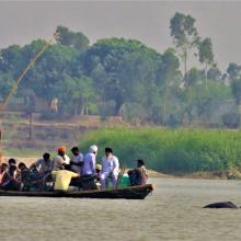
  6. Indus River Dolphin following country boat at Karmowala village.
    Indus River Dolphin at Mundapind village.
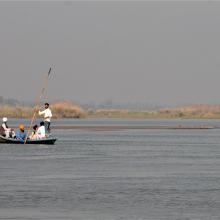
    Riparian community crossing river Beas near village Kapoora.
    Flock of Bar-headed Geese in River Beas
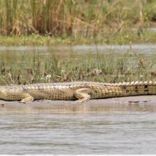
    Gharial basking on a mid channel island near River Beas.

    Beas Conservation Reserve

    • Country: 
      India
    • Designation date: 
      26-09-2019
    • Site number: 
      2408
    • Published since: 
      4 year(s)
    6,429 ha
  7. Lower Songkram River
    Fish of Songkhram River
    Lower Songkram River
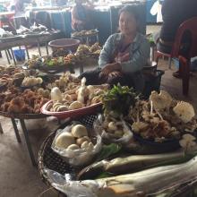
    Fish from Songkhram river at the local marketplace.
    Fish from Songkhram river at the local marketplace.
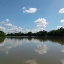
    Lower Songkram river.
    Lower Songkram river.
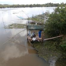
    Life of locals at the river.
    Life of locals at the river.
    Life of locals at the river.
    flooded forest of Songkram river.
    Lower Songkram river.

    Lower Songkhram River

    • Country: 
      Thailand
    • Designation date: 
      15-05-2019
    • Site number: 
      2420
    • Published since: 
      4 year(s)
    5,505 ha
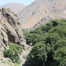
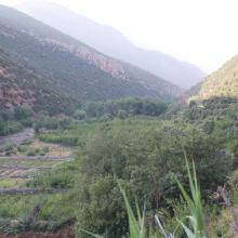
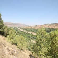
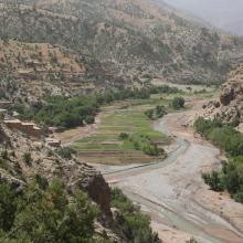
  8. O. Tizguite à Zaouyate S. Abdeslam : rives de l'oued mise en culture
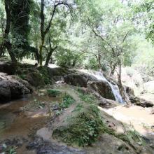
    O. Tizguite au niveau de la cascade : vue de profil
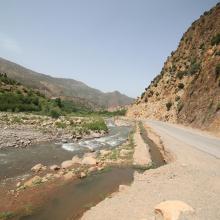
    O. Tizguite en aval d'Ifrane : oued ombragé et à écoulement lent
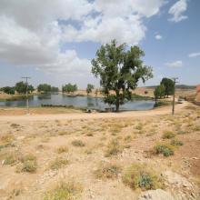
    SR Tizguite : Plan d'eau piscicole de Zerrouka
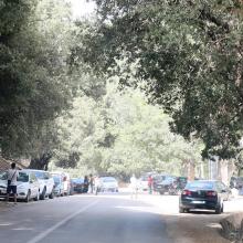
    O. Tizguite en aval d'Ifrane : des centaines de véhicules stationnent le long de la route

    Oued Tizguite

    • Country: 
      Morocco
    • Designation date: 
      16-04-2019
    • Site number: 
      2375
    • Published since: 
      4 year(s)
    606 ha
  9. A C
    A C
    A C
    A C
    A C
    A C

    Assifs Réghaya-Aït Mizane

    • Country: 
      Morocco
    • Designation date: 
      16-04-2019
    • Site number: 
      2371
    • Published since: 
      4 year(s)
    830 ha
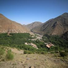
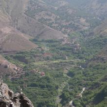
  10. Oued Lakhdar : cultures irriguées en plein lit majeur de la rivière
    Assif Aït Bou Guemmaz : exemple de résurgence froide aménagée (canalisée)
    Assif Aït Bou Guemmaz à Tabant, loin en aval de ses sources
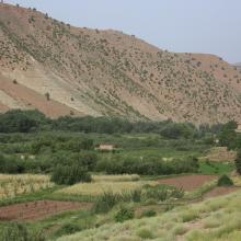
    Assif Aït Bou Guemmaz : Bâti rural et Arboriculture traditionnels
    Lac temporaire d'Izourar : pelouse de montagne, à l'amont de l'Assif des Aït Bou Guemmaz

    Haut Oued Lakhdar

    • Country: 
      Morocco
    • Designation date: 
      16-04-2019
    • Site number: 
      2372
    • Published since: 
      4 year(s)
    2,200 ha

Pages

Stats


Exports

Export Sites information

For a summary list of all the Ramsar Sites in pdf format, click here.

Generate reports of selected Sites

You can generate a report based on the filters you have applied, in either pdf or xls format. The report will sort the results by the Site name, unless you have sorted them by another variable.

For the pdfs, you can choose whether to include the introductory text on each Site, or just show the key data in a shorter report.

To receive a report, please provide your email address and enter the text in the verification picture into the textbox.

As soon as the list has been generated an e-mail will be sent to you with the link to access the file.