Search results

Map

Choose map: | | Download Centroids / Boundaries / Map (pdf)
Materials presented on this website, particularly maps and territorial information, are as-is and as-available based on available data and do not imply the expression of any opinion whatsoever on the part of the Secretariat of the Ramsar Convention concerning the legal status of any country, territory, city or area, or of its authorities, or concerning the delimitation of its frontiers or boundaries.

List

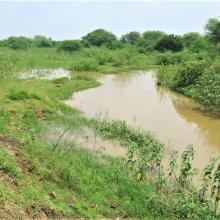
  1. Emergent Hydrophytes
    Fishing activity
    Greylag_Goose
    Inlet
    Interpretation center_for_nature education
    Islet
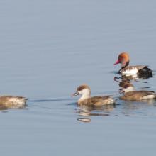
    Migrant Duck_Red-crested Pochard
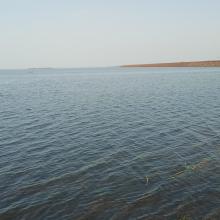
    Open water habitat
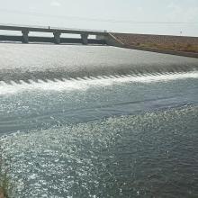
    Outlet canal
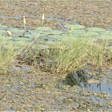
    Rooted Hydrophyte_Nymphaea
    Submerged Hydrophyte_Ottelia
    Watch tower_for_birding

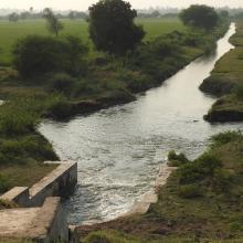
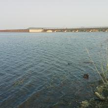
    Wadhvana Wetland

    • Country: 
      India
    • Designation date: 
      05-04-2021
    • Site number: 
      2454
    • Published since: 
      2 year(s)
    630 ha
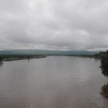
  2. Vue du plan d’eau du barrage
    Piroguiers dans le lac du barrage
    Digue du barrage
    Zone inondée
    Vue de la zone humide
    Vue de la cuvette du barrage

    Barrage de Samandéni

    • Country: 
      Burkina Faso
    • Designation date: 
      27-10-2020
    • Site number: 
      2439
    • Published since: 
      3 year(s)
    68,202 ha
  3. A C
    A C
    A C
    A C
    A C
    A C

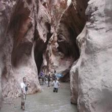
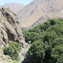
    Assifs Réghaya-Aït Mizane

    • Country: 
      Morocco
    • Designation date: 
      16-04-2019
    • Site number: 
      2371
    • Published since: 
      4 year(s)
    830 ha
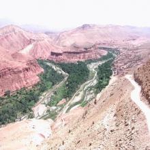
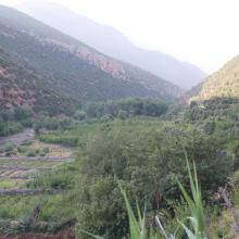
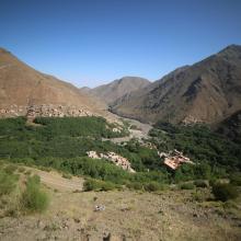
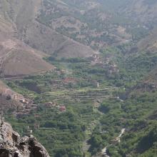
  4. Agriculture en terrasses
    Gorges d'Imsfrane
    Haut Oued Mgoun
    Mgoun aval
    Source à truite
    Source en aval des gorges
    Truite du Dades

    Assif Mgoun

    • Country: 
      Morocco
    • Designation date: 
      16-04-2019
    • Site number: 
      2376
    • Published since: 
      4 year(s)
    1,400 ha
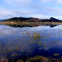
  5. Marjal de Almenara. Panorámica de las lagunas someras
    Marjal de Almenara. Panorámica general
    Marjal de Almenara. Panorámica de estany
    Marjal de Almenara. Panorámica con aves
    Marjal de Almenara. Antiguos arrozales recuperados
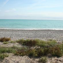
    Marjal de Almenara. Cordón litoral de cantos y saladar
    Marjal de Almenara. Detalle de surgencia de agua subterránea en rocas kársticas (ullal)
    Marjal de Almenara. Detalle de surgencia de agua subterránea en rocas kársticas (ullal)
    Marjal de Almenara. Detalle de estany con Ceratophyllums demersum
    Marjal de Almenara. Tareas de muestreo efectuado por voluntarios (programa de seguimiento de calidad de aguas, Generalitat Valenciana)

    Marjal de Almenara

    • Country: 
      Spain
    • Designation date: 
      17-11-2017
    • Site number: 
      2338
    • Published since: 
      3 year(s)
    1,474 ha
  6. Instituto Chico Mendes de Conservação da Biodiversidade

    Environmental Protection Area of Cananéia-Iguape-Peruíbe

    • Country: 
      Brazil
    • Designation date: 
      04-09-2017
    • Site number: 
      2310
    • Published since: 
      6 year(s)
    202,307 ha
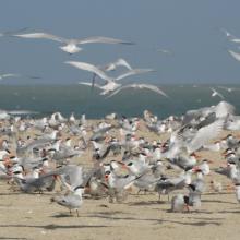
  7. REPRODUCTION DES STERNES CASPIENNES
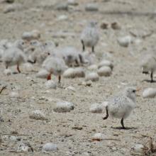
    POUSSINS DE STERNES ROYALES
    FEMMES EN ACTIVITES DE RAMASSAGES DES ARCHES DANS LES VASES DE LA ROK
    REPRODUCTION DES STERNES CASPIENNES DANS LA ROK

    Kalissaye

    • Country: 
      Senegal
    • Designation date: 
      01-09-2017
    • Site number: 
      2326
    • Published since: 
      6 year(s)
    30,014 ha
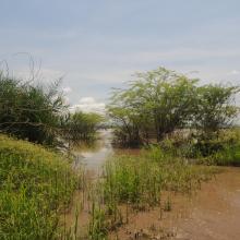
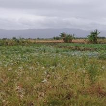
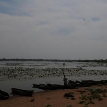
  8. Skyview of Lake
    Skyview of River
    Fishers backwater in northern marsh
    Main channel in northern marsh
    Edge vegetation
    Agriculture land western marsh
    Open water area and fish landing site

    Elephant Marsh

    • Country: 
      Malawi
    • Designation date: 
      01-07-2017
    • Site number: 
      2308
    • Published since: 
      6 year(s)
    61,556 ha
  9. Lido et étang de Salses-Leucate
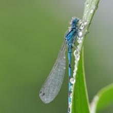
    Agrion de Mercure
    Résurgence de Font Estramar
    Pêche petits métiers
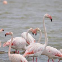
    Flamants roses
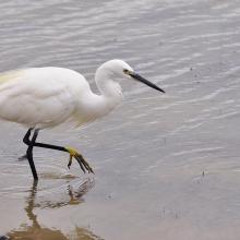
    Aigrette

    Etang de Salses-Leucate

    • Country: 
      France
    • Designation date: 
      30-06-2017
    • Site number: 
      2307
    • Published since: 
      6 year(s)
    7,637 ha
  10. Van Long Wetland Nature Reserve

    Van Long Wetland Nature Reserve

    • Country: 
      Viet Nam
    • Designation date: 
      10-02-2017
    • Site number: 
      2360
    • Published since: 
      5 year(s)
    2,736 ha

Pages

Stats


Exports

Export Sites information

For a summary list of all the Ramsar Sites in pdf format, click here.

Generate reports of selected Sites

You can generate a report based on the filters you have applied, in either pdf or xls format. The report will sort the results by the Site name, unless you have sorted them by another variable.

For the pdfs, you can choose whether to include the introductory text on each Site, or just show the key data in a shorter report.

To receive a report, please provide your email address and enter the text in the verification picture into the textbox.

As soon as the list has been generated an e-mail will be sent to you with the link to access the file.